
“Beware the Jabberwock, my son!
The jaws that bite, the claws that catch!
Beware the Jubjub bird, and shun
The frumious Bandersnatch!”
- from the poem Jabberwocky in Through the Looking-Glass and What Alice Found There, 1872)
Description
– Distance: ~ 1.7 miles
– Min/max elev.: 2249’/2957′
– Elev. gain/loss: 915’/-524′
Click here for routes and maps with Bandersnatch
Bandersnatch is a pedestrian-equestrian only trail that consists of two parts: the original Bandersnatch, which starts at Waterline and climbs up to Alice in Wonderland trail; and Bandersnatch East which descends from Alice in Wonderland down to JubJub and Ashland Loop Road (aka FS Road 2060).
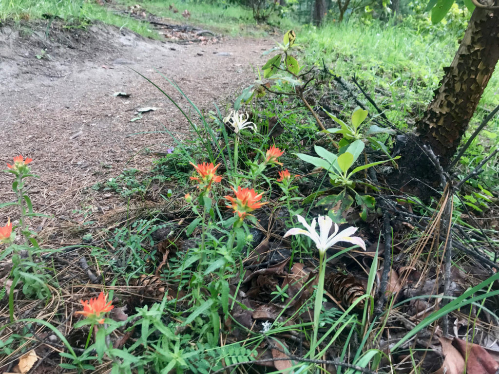
Bandersnatch is one of the more popular pedestrian trails as it starts near good parking and Lithia Park. While it climbs fairly steeply, the trail also affords several breaks. A picnic table at the top of the first hill offers views of the Rogue Valley as well as Mt Ashland. The trail features a large number of switchbacks and wends its way through some spectacular madrones and some pines.
History
Bandersnatch was originally proposed in 2011 by Nathan Riddle, a mountain biker on the AWTA board. His notion was that this trail would help take some of the pedestrian load off the nearby BTI trail and possibly eventually lead to a bike-only BTI.
AWTA board members repeatedly hiked the area, flagging potential routes before eventually arriving at a definitive path. AWTA engaged a local engineering geologist to ascertain soil stability. Rob Cain then presented the trail to the City of Ashland’s Forest Lands Commission and the city’s Parks and Rec department and was given the go-ahead to proceed.
Construction began in March of 2012 and the expected volunteer turnout on the first day vastly exceeded estimates. 71 people worked on the trail and Rob Cain and Torsten Heycke had to scramble to lay additional pin-flags ahead of the quickly advancing trail crew. Close to a half-mile of trail was built in that first day. Subsequent trail work days didn’t elicit as many people: poison oak and sore muscles and backs may have taken a toll.
The Ashland Fire Department provided the sign posts for Bandersnatch and these rather large “monuments” were set in concrete; when we had to move one of them (at the bottom of Bandersnatch), we had to use a backhoe.
Bandersnatch features many design decisions to discourage mountain bikers from “poaching” this trail. At the top of Bandersnatch, the trail hairpins off in the opposite direction to the predominant flow of mountain bike traffic (down Alice in Wonderland). Additionally, the trail starts by snaking through a narrow pair of trees and heading gently uphill. A brief set of stairs on either side of the downhill mt bike trail, BTI, make turning off that trail onto Bandersnatch unappealing. The numerous short radius switchback turns and occasional steep pitches also discourage mt bikers from riding this trail. Of course, having more compelling mtb trails is the best antidote to poaching.
Written by Torsten Heycke 04/28/2020