
Description
– Distance: ~ 1.8 miles
– Min/max elev.: 3264’/3827′
– Elev. gain/loss: 394’/-847′
Click here for routes and maps with Fell on Knee trail.
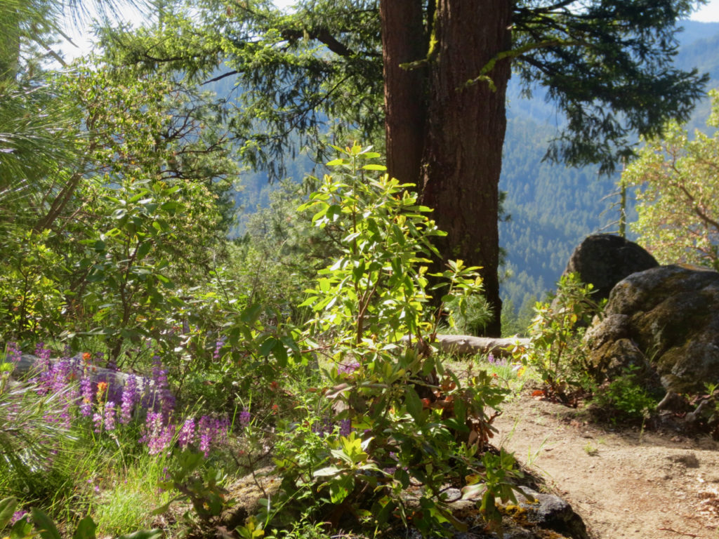
Fell on Knee is a multi-use trail–any direction–starting on the high end at FS 2060-300 (aka Upper Hitt Rd) and terminating in Hitt Rd on the low end. The trail passes the intersection with Wonder at the so-called “lunch rocks” .
Fell on Knee uses some existing trail as well as a substantial section of old roadbed. The trail has some challenging riding sections, particularly some off-camber tight radius switchbacks.
Views include Mt Ashland, Mt Mcloughlin, Grizzly Peak and the city of Ashland.
History
Fell on Knee started as a combination of a rogue-built trail (thus the name) and some existing old haul road. Incorporated into the Ashland Trails Plan, the trail was built in 2017. Some sections, particularly some of the tight switchbacks were built by a Pacific Northwest Youth Corps group.
Written by Torsten Heycke 04/29/2020