
– Distance: 1.8 miles
– Min/max elev.: 3074’/3407′
– Elev. gain/loss: 480’/-480′
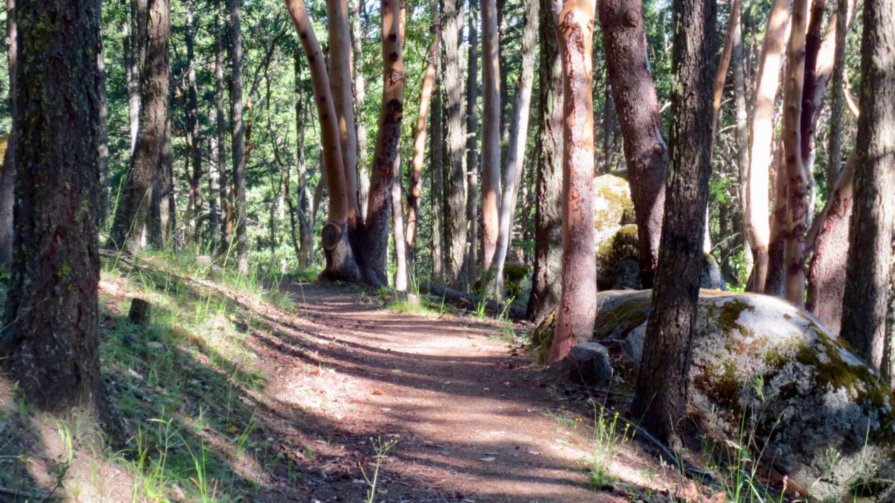
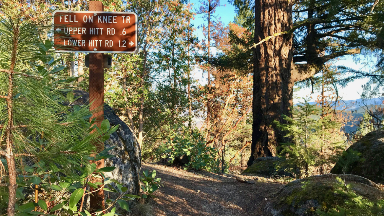
From White Rabbit TH, head out White Rabbit. Turn left at the intersection with Caterpillar (still staying on White Rabbit).…
– Distance: 1.8 miles
– Min/max elev.: 3074’/3407′
– Elev. gain/loss: 480’/-480′
From White Rabbit TH, head out White Rabbit. Turn left at the intersection with Caterpillar (still staying on White Rabbit).…
– Distance: 3.1 miles
– Min/max elev.: 2762’/3359′
– Elev. gain/loss: 704’/-704′
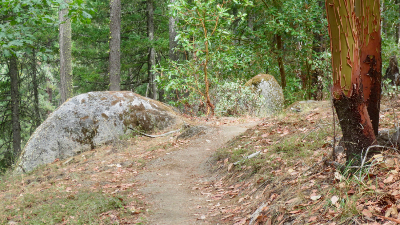
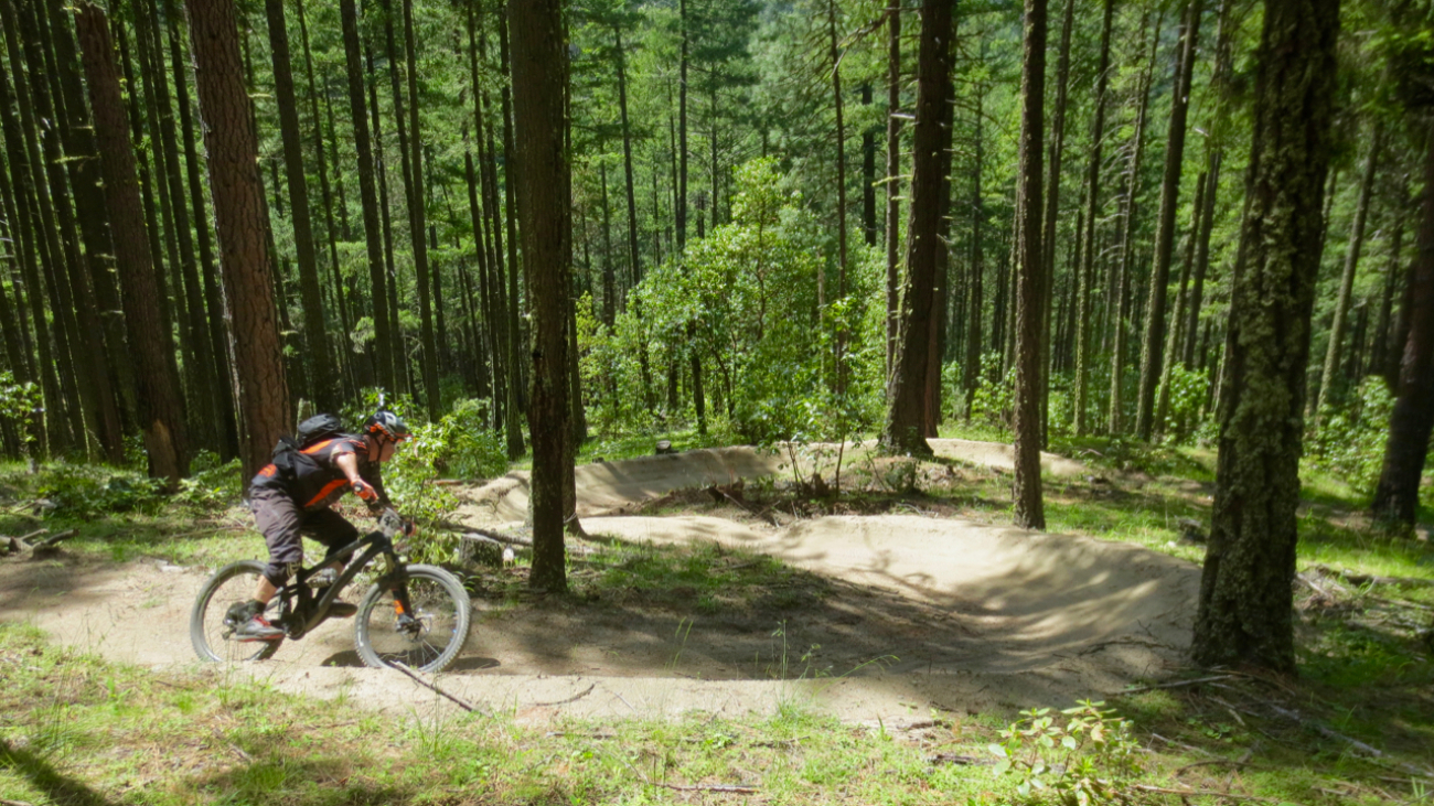
From White Rabbit TH, head north on White Rabbit and then turn right onto Caterpillar trail (watch out for mt bikers on this section).…
– Distance: 3.4 miles
– Min/max elev.: 3175’/3852′
– Elev. gain/loss: 732’/-732′
This route starts and ends gently, but has a good steep climb in the middle.…
– Distance: 4.4 miles
– Min/max elev.: 2204’/3044′
– Elev. gain/loss: 871’/-871′
– Pedestrian/Mt Bike (uphill-only direction on Wonder)
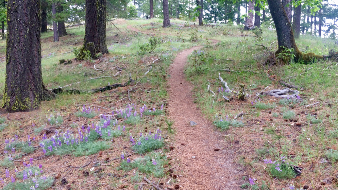
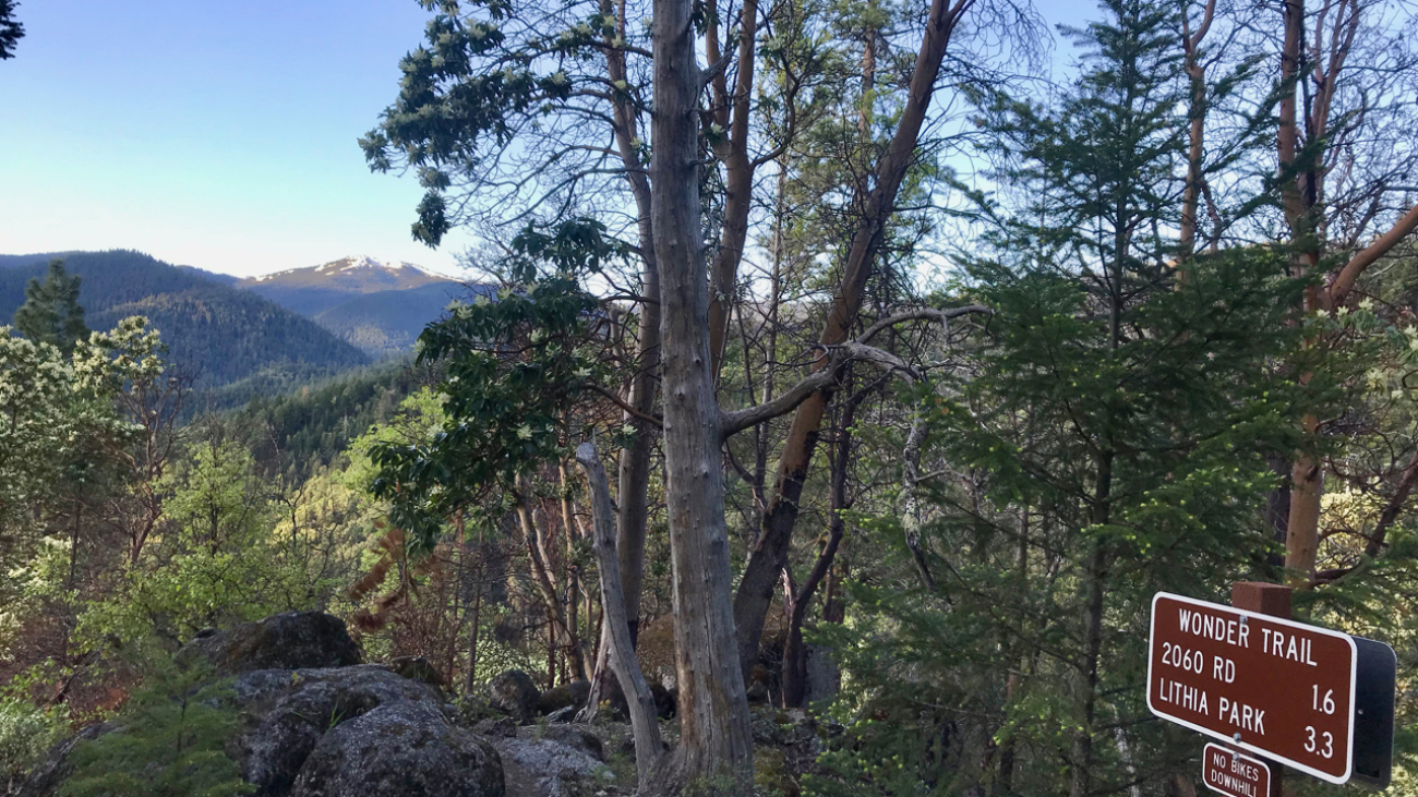
Starting at the Fairy Ponds TH, head north on Wonder trail, parallel to Ashland Creek.…
– Distance: 6.5 mi
– Min/max elev.: 2215’/3546′
– Elev. gain/loss: 1438’/-1438′
Head north on Glenview and turn right on Ashland Loop Rd.…
– Distance: 8.2 miles
– Min/max elev.: 2011’/3547′
– Elev. gain/loss: 1699’/-1699
This is a pedestrian and mt bike route.
From the Fairy Ponds TH, head north on Wonder around the quarry and up to meet…more Wonder.…
– Distance: 9.4 miles
– Min/max elev.: 6519’/7187′
– Elev. gain/loss: 2381’/-2381′
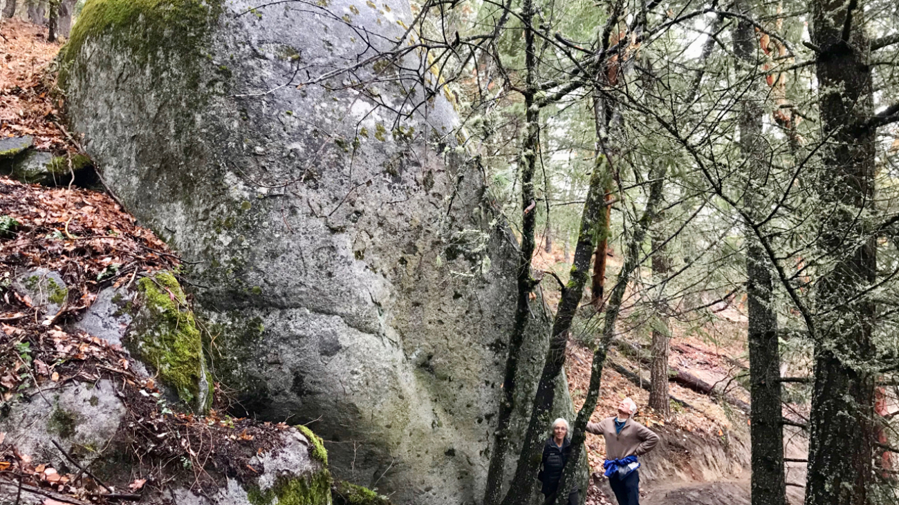
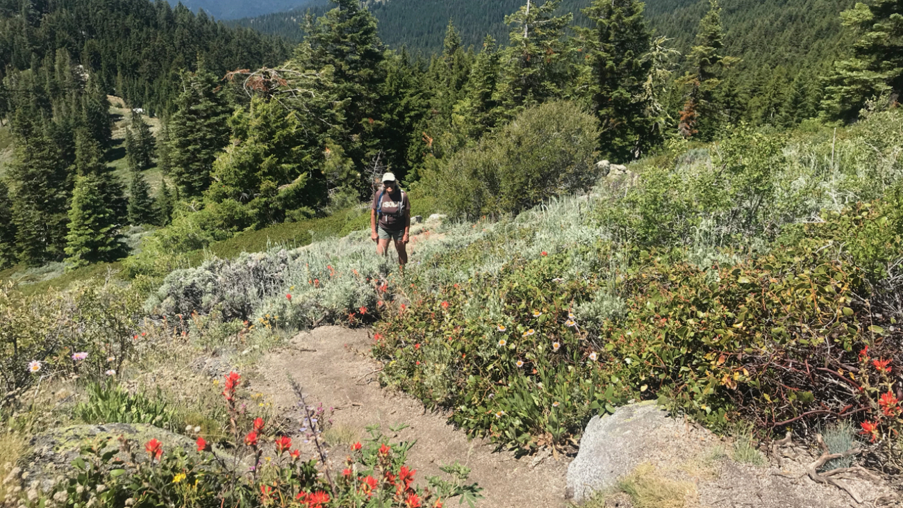
Head north from the Split Rock TH and climb the occasionally faint and narrow trail to McDonald Peak.…
– Distance: 11.2 miles
– Min/max elev.: 2215’/6577′
– Elev. gain/loss: 120’/-4482′
This is a great training run for WSER and other ultrarunning events. Catch a mt bike shuttle up, and run down.…
– Distance: 11.5 miles
– Min/max elev.: 2189’/4041′
– Elev. gain/loss: 2731’/-2731′
This is mostly for runners who are looking for multiple uphill-downhill sections; many of the Ashland watershed runs are all up and then all down.…
– Distance: 13.3 miles
– Min/max elev.: 1905’/7489′
– Elev. gain/loss: 5624’/-41′
This event typically starts near City of Ashland’s Development building at the bottom of Lithia Park near the plaza in downtown Ashland.…

– Distance: 14.6 mi
– Min/max elev.: 2189’/4041′
– Elev. gain/loss: 3142’/-3142′
Starting at Witzend TH, head south on Glenview and then left at Granite St to join FS Rd 2060 for ~1.7 miles to Wonder.…
– Distance: 15.5 miles
– Min/max elev.: 2205’/4882′
– Elev. gain/loss: 3148’/-3148′
– Pedestrian, Mt Bike
Starting at Fairy Ponds TH, head out FS Rd 2060 for ~3.6 miles.…
– Distance: 18 miles
– Min/max elev.: 2212’/4915′
– Elev. gain/loss: 3115’/-3115′
– Pedestrian, Mt Biking
Starting at Fairy Ponds TH, head out FS Rd 2060 for ~3.6 miles.…

– Distance: 20.5 miles
– Min/max elev.: 2204’/4915′
– Elev. gain/loss: 3689’/-3689′
Starting at Fairy Ponds TH, head southwest out FS Rd 2060 for ~3.6 miles.…

– Distance: 23.9 miles
– Min/max elev.: 2215’/5848′
– Elev. gain/loss: 4270’/-4270′
Starting at Witzend, head out Waterline, up Bandersnatch, turn right at Red Queen. At the top of Red Queen, turn right onto Caterpillar.…
– Distance: 30.1 miles
– Min/max elev.: 2189’/7187′
– Elev. gain/loss: 6039’/-6039′
Starting at Witzend, head out Waterline, up Bandersnatch to Red Queen.…