
– Distance: 2.3 miles
– Min/max elev.: 2215’/2739′
– Elev. gain/loss: 516’/-516′
From Witzend Trailhead parking, head north out Glenview and right up Ashland Loop Rd.…
– Distance: 2.3 miles
– Min/max elev.: 2215’/2739′
– Elev. gain/loss: 516’/-516′
From Witzend Trailhead parking, head north out Glenview and right up Ashland Loop Rd.…
– Distance: 4 miles
– Min/max elev.: 2216’/3173′
– Elev. gain/loss: 940’/-940′
From Witzend Trailhead parking, head north out Glenview and right up Ashland Loop Rd.…
Description
– Distance: ~ .1 mile
– Min/max elev.: 2223’/2322′
– Elev. gain/loss: 100’/-1′
Click here for routes and maps with Witzend trail.
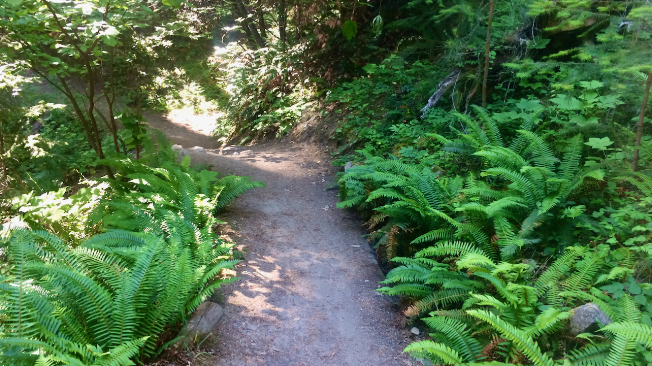
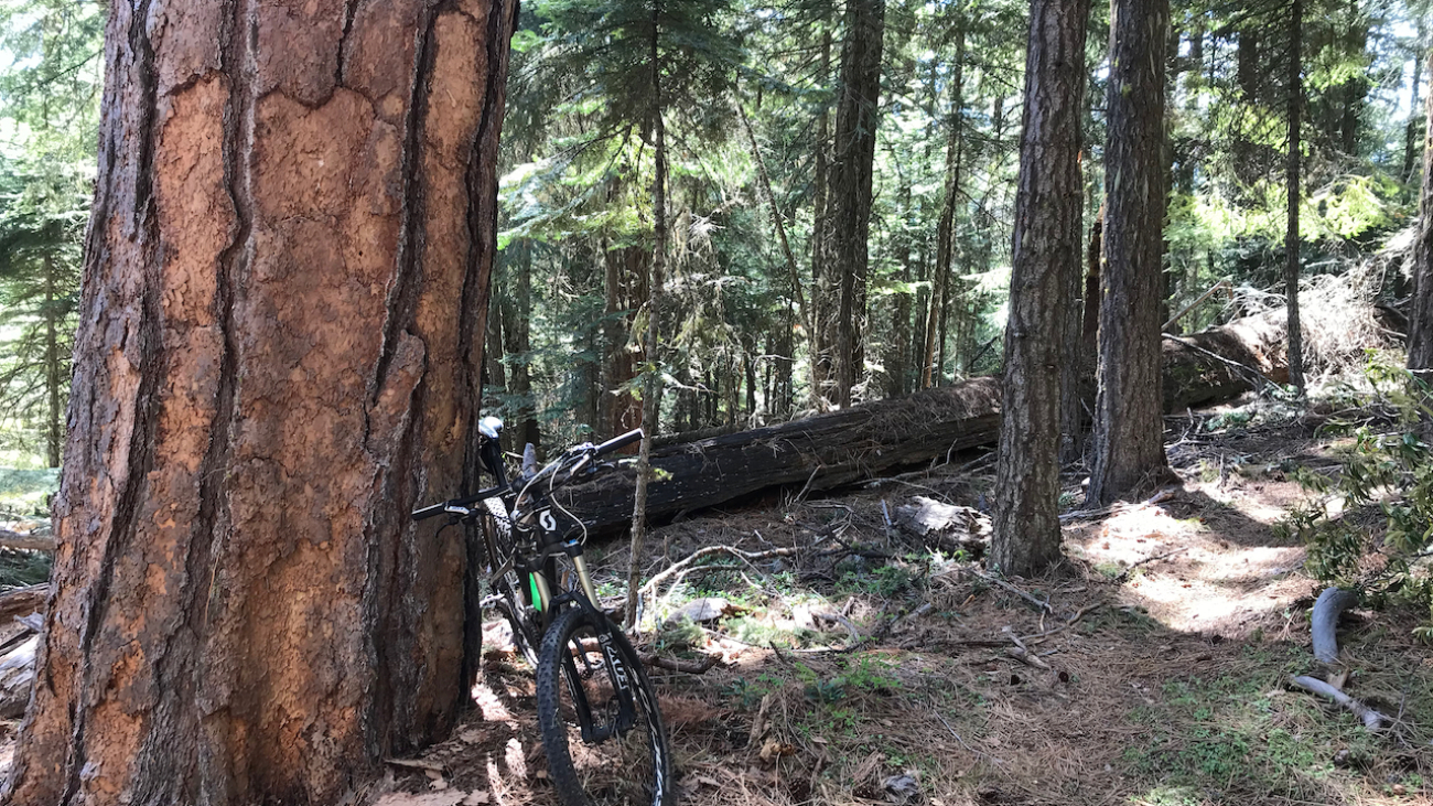
Witzend is a short pedestrian connector trail joining Glenview Dr (and the Witzend trailhead) to Ashland Loop Rd.…

Description
– Distance: ~ 2.1 miles
– Min/max elev.: 2483’/3300′
– Elev. gain/loss: 1094’/-416′
Description
– Distance: ~ 2.2 miles
– Min/max elev.: 4905’/6623′
– Elev. gain/loss: 1855’/-140′
Click here for routes and maps with Wagner Glade trail.
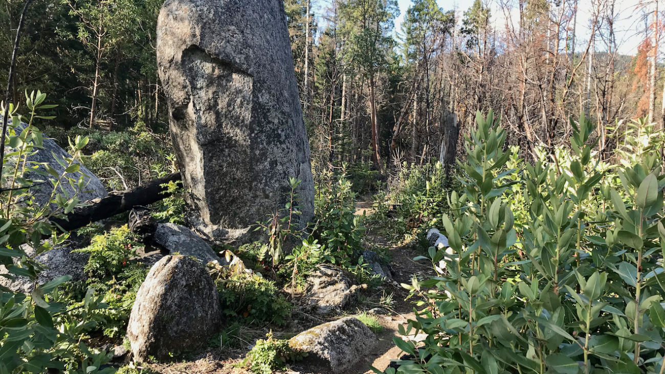
The pedestrian-only Wagner Glade trail connects FS RD 2060 with the Wagner Butte and Split Rock Trails.…
Description
– Distance: ~1 miles
– Min/max elev.: 3200’/3520′
– Elev. gain/loss: 230’/-400′
Click here for routes and maps with Toothpick trail.
The Toothpick trail is flat to gentle rolling from FS 2060 to Catwalk Trail and then descends–steeply in parts–to Tolman Creek Road.…
Description
– Distance: ~ 3.9 miles
– Min/max elev.: 4596’/7000′
– Elev. gain/loss: 208’/-2575′
Click here for routes and maps with Time Warp trail.
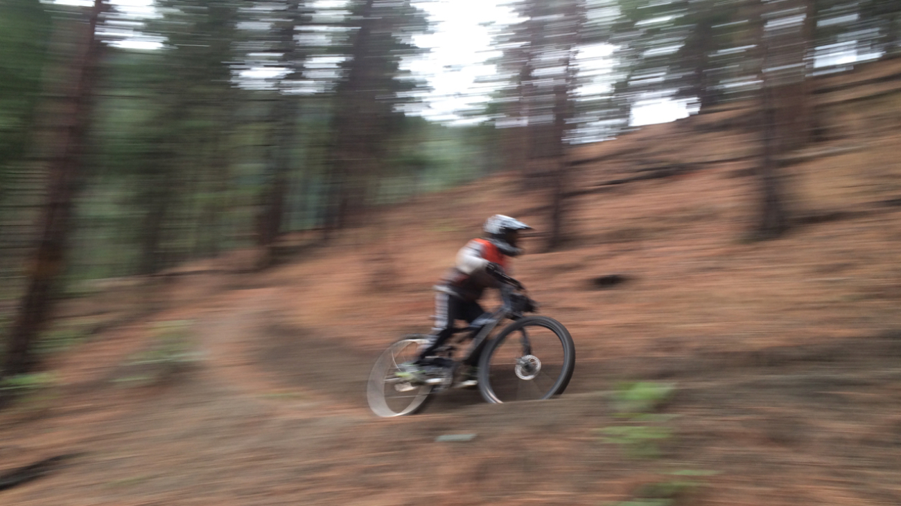
Time Warp is a downhill-only mountain bike trail that starts near the Rabbit Ears rock formation off the FS20-300 Rd and descends nearly 4-miles to the FS 2060 Rd.…
Description
– Distance: ~3 miles
– Min/max elev.: 6510’/7220′
– Elev. gain/loss: 751’/-1136′
Click here for routes and maps with Split Rock trail.
Split Rock trail is a pedestrian-only trail connecting Rd 20 and the PCT to Wagner Butte and Wagner Glade trails.…
Description
– Distance: .8 miles
– Min/max elev.: 3704’/4241′
– Elev. gain/loss: 664’/-147′
Click here for routes and maps with Ricketty trail.
Ricketty connects from Horn Gap Rd (near FS 2060) up to FS 2060.…
Description
– Distance: ~ .25 miles
– Min/max elev.: 3179’/3327′
– Elev. gain/loss: 3’/-150′
Click here for routes and maps with Rabbit Hole trail.
Rabbit Hole is a short bike-only, downhill-only trail that descends from Caterpillar to the White Rabbit trailhead.…
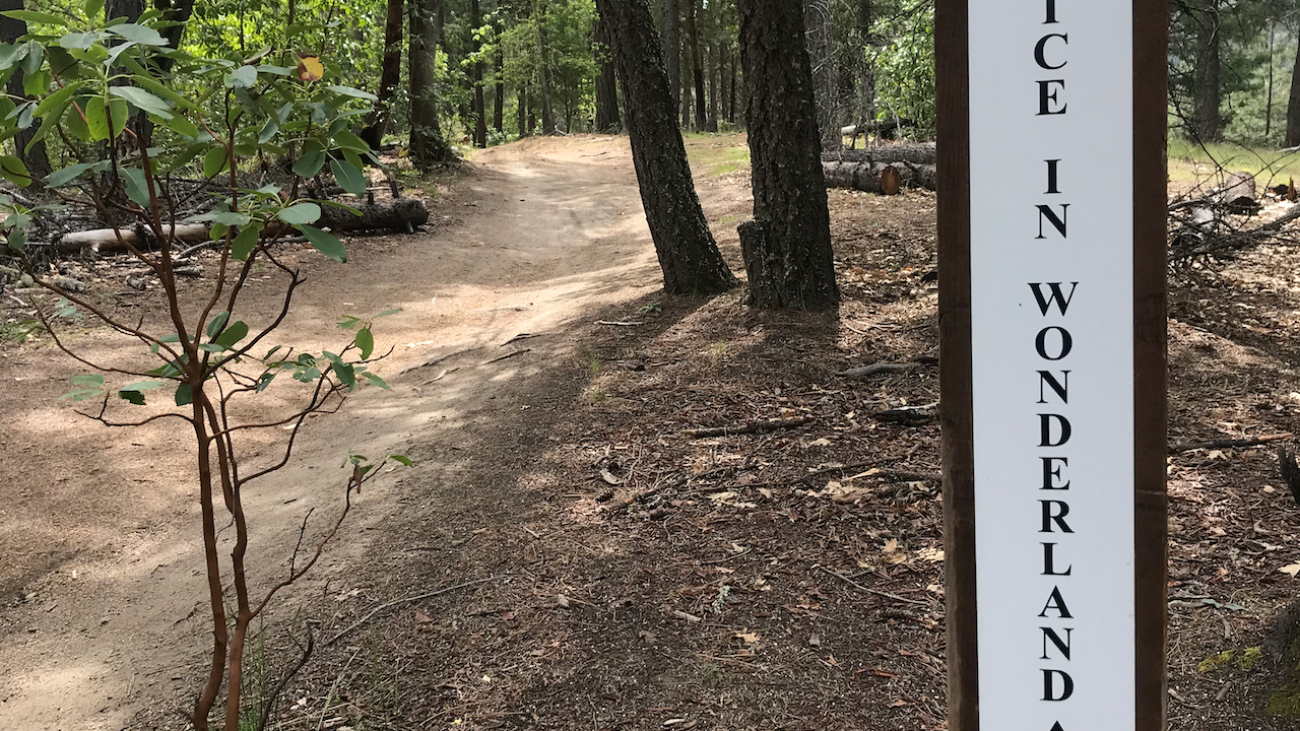
“Off with Her Head”
– Queen of Hearts in Alice’s Adventures in Wonderland by Lewis Carroll
Description
– Distance: ~ .25 miles
– Min/max elev.: 3316’/3399′
– Elev.…
Description
– Distance: ~ .5 miles
– Min/max elev.: 4532’/4983′
– Elev. gain/loss: 53’/-394′
Click here for routes and maps with Potlicker trail.
This multi-use trail connects the southern-most end of Horn Gap Rd with FS 2060.…
Description
– Distance: ~ 2.3 miles
– Min/max elev.: 4495’/4889′
– Elev. gain/loss: 560’/-360′
Click here for routes and maps with No Candies trail.
The No Candies multi-use trail connects from the top of FS Rd 2060-400 to the intersection of FS 2060 and Horn Gap trail.…
Description
– Distance: ~ 2.2 miles
– Min/max elev.: 4373’/5400′
– Elev. gain/loss: 176’/-1200′
Click here for routes and maps with Missing Links trail.
Missing Links, sometimes called Missing Lynx, is a mountain-bike only trail connecting from the bottom of Lower Bull Gap trail to the Four Corners intersection and trailhead.…
Description
– Distance: ~ 1.5 miles
– Min/max elev.: 2488’/3390′
– Elev. gain/loss: 975’/-75′
Click here for routes and maps with Mike Uhtoff trail.
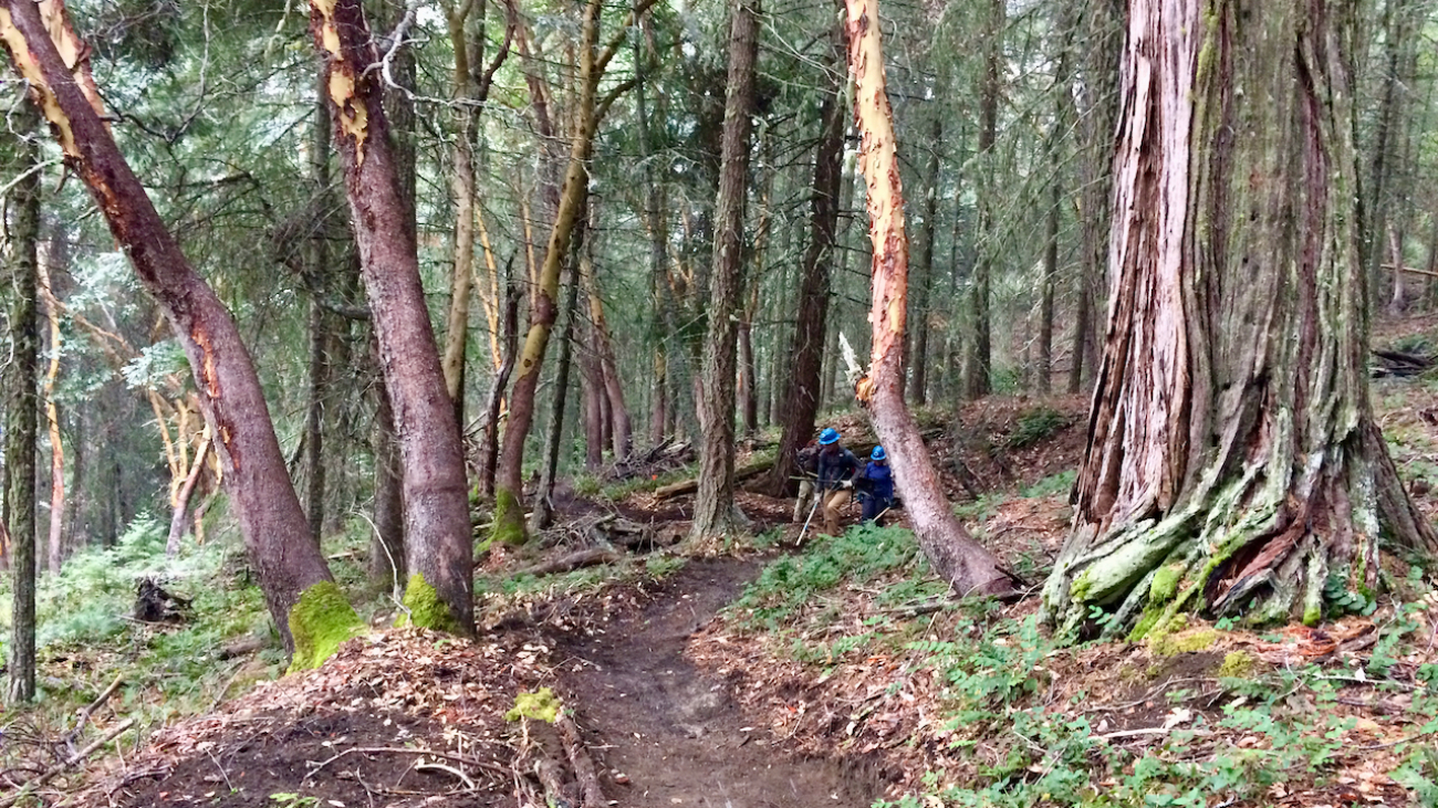
The Mike Uhtoff trail is a pedestrian-only trail that connects from Oredson-Todd Woods at the bottom to Siskiyou Mountain Park and part of White Rabbit trail near the top.…
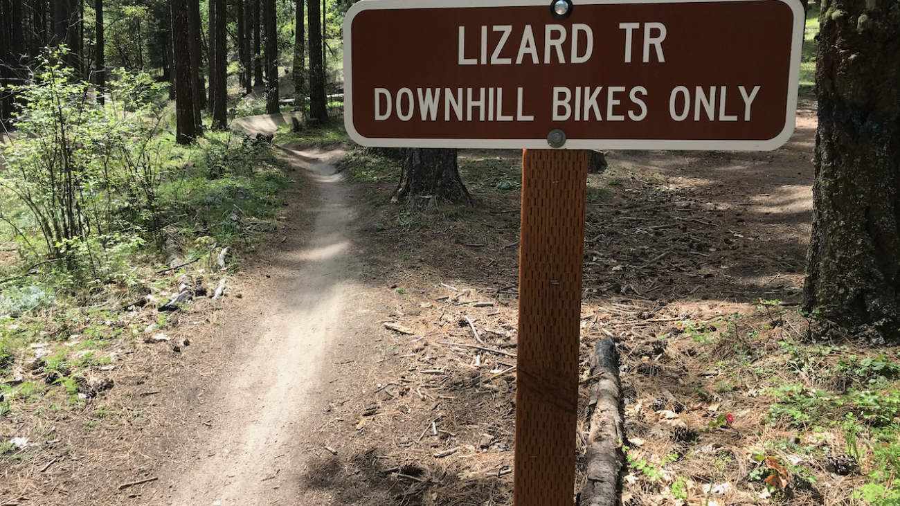
“the poor little juror (it was Bill, the Lizard) could not make out at all what had become of [his pencil]; so, after hunting all about for it, he was obliged to write with one finger for the rest of the day; and this was of very little use, as it left no mark on the slate.…