
– Distance: 2.1 miles
– Min/max elev.: 2426’/2971′
– Elev. gain/loss: 581’/-581′
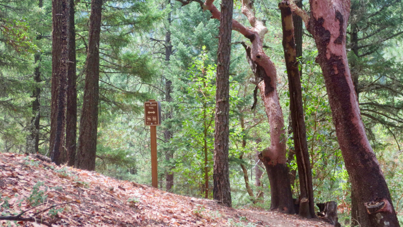
From the Lower Red Queen TH, head up to the intersection with BTI and Red Queen.…
– Distance: 2.1 miles
– Min/max elev.: 2426’/2971′
– Elev. gain/loss: 581’/-581′
From the Lower Red Queen TH, head up to the intersection with BTI and Red Queen.…
– Distance: 15.2 miles
– Min/max elev.: 2011’/4252′
– Elev. gain/loss: 3600’/-3600′
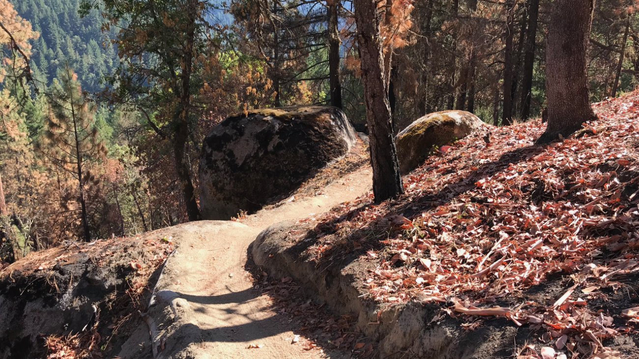
This route is mt bike and pedestrian. NOTE: bikes must ride up Wonder. More description coming.…
– Distance: 15.7 miles
– Min/max elev.: 2213’/4882′
– Elev. gain/loss: 3070’/-3070′
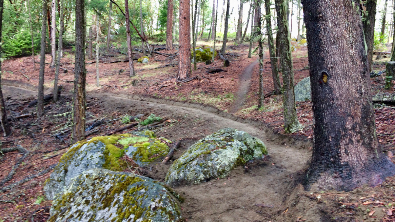
This is a pedestrian and mountain bike route.
From Fairy Ponds TH, head southwest on FS 2060 (aka Lithia Loop Trail) for ~1.7 miles.…
– Distance: 25 miles
– Min/max elev.: 2189’/4950′
– Elev. gain/loss: 3382’/-3382′
This is the simple, road-based route around the watershed, using mostly FS-2060 and the Ashland Loop Rd, counter clockwise.…
– Distance: 26.2 miles
– Min/max elev.: 1946’/4930′
– Elev. gain/loss: 3861’/-3861′
Download the GPX file or zoom in to see turns of this classic trail marathon course.…