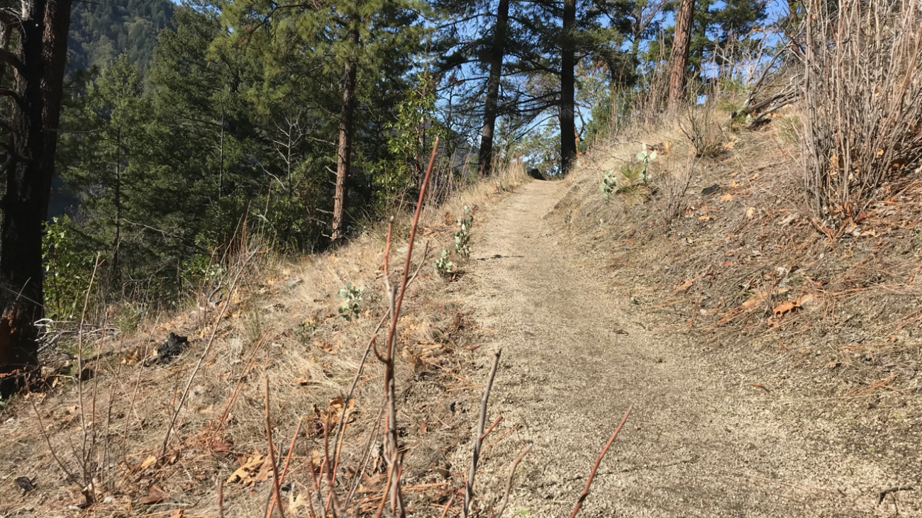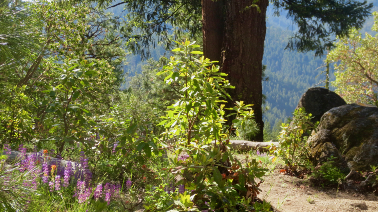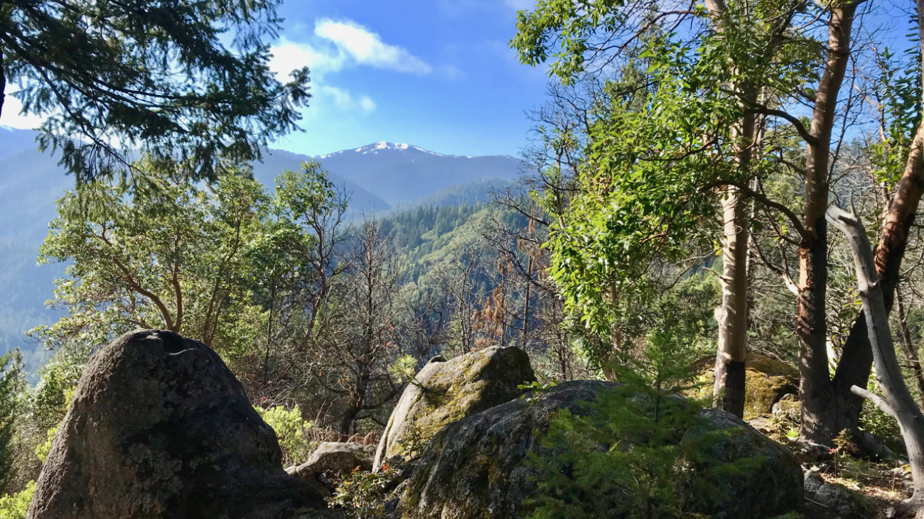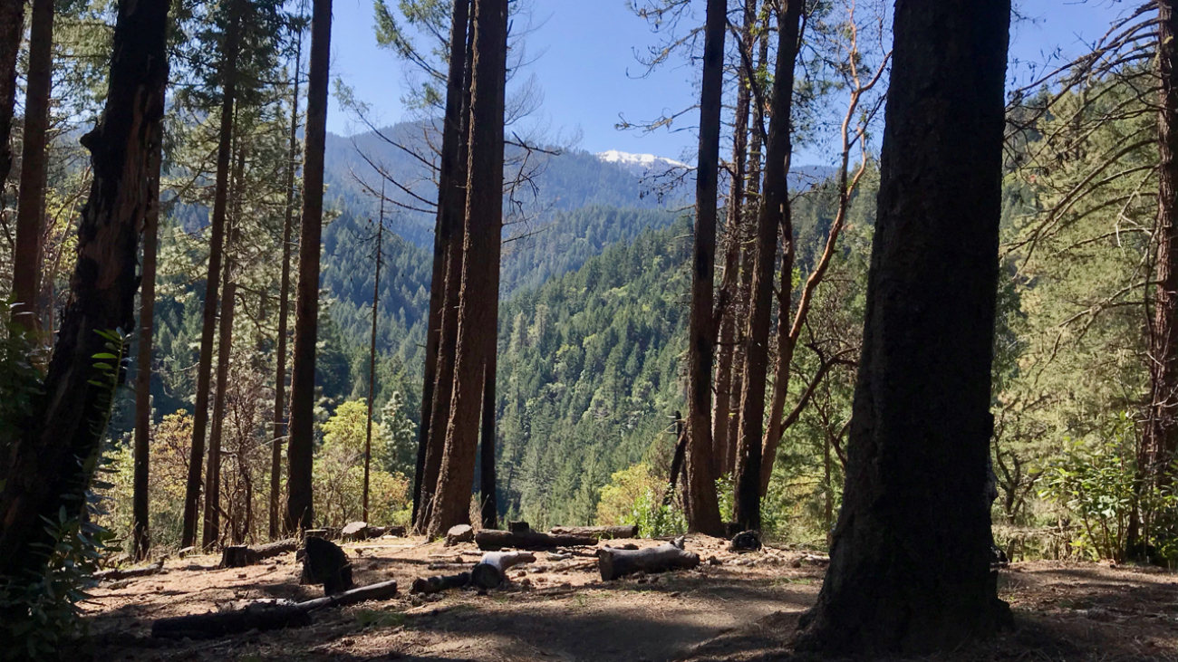
Description
– Distance: ~2.5 miles
– Min/max elev.: 5509’/6578′
– Elev. gain/loss: 1116’/-47′
Click here for routes and maps with Bull Gap trail.
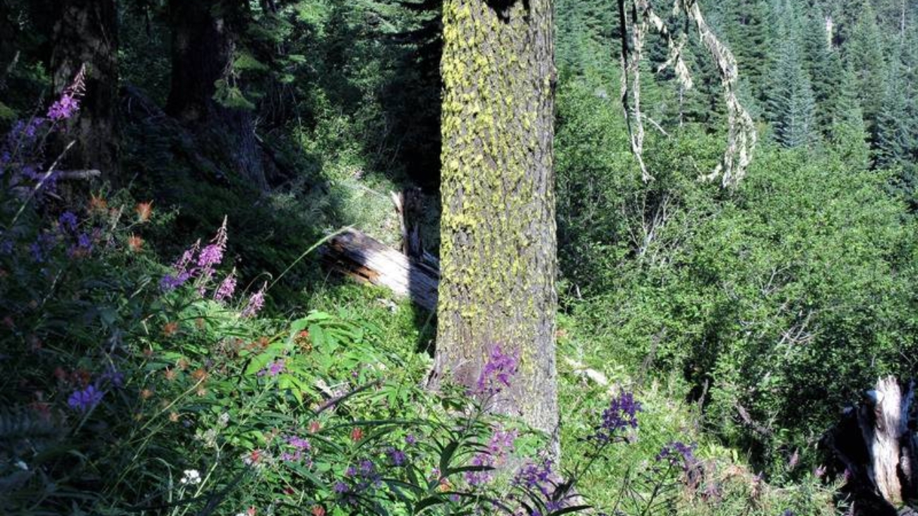
Bull Gap trail is a multi-use double-track path from Bull Gap (intersection of FS 2080 and FS 2080-200) to the Mt Ashland Ski Area.…