
Description
– Distance: ~ 1.3 miles
– Min/max elev.: 3474’/4298′
– Elev. gain/loss: 99’/-913′
Click here for routes and maps with Martys.
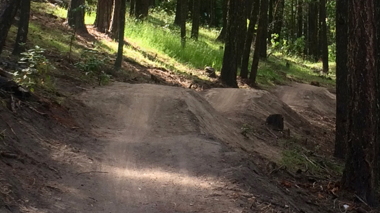
Marty’s is, as of this writing, evolving.…
Description
– Distance: ~ 1.3 miles
– Min/max elev.: 3474’/4298′
– Elev. gain/loss: 99’/-913′
Click here for routes and maps with Martys.
Marty’s is, as of this writing, evolving.…
Description
– Distance: ~ .8 miles
– Min/max elev.: 3450’/3547′
– Elev. gain/loss: 280’/-350′
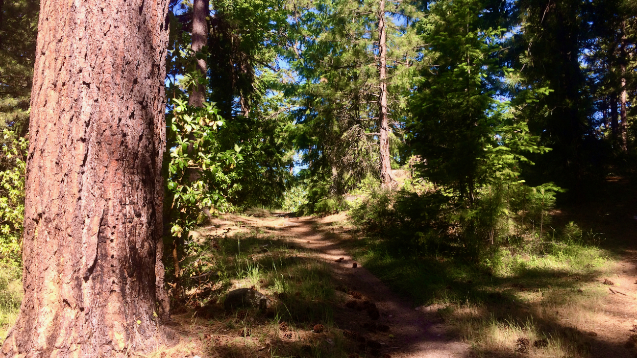
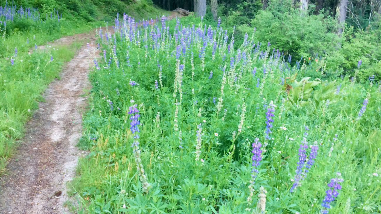
Lamb Mine is a multi-use out-and-back trail that starts at Lamb Saddle, at the intersections of Toothpick, Caterpillar, and Marty’s.…
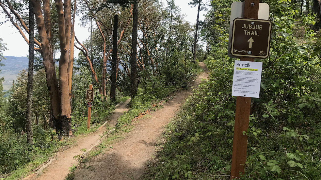
“Beware the Jubjub bird, and shun
The frumious Bandersnatch!”
(from the poem Jabberwocky in Through the Looking-Glass and What Alice Found There, 1872)
Description
– Distance: ~ .1 mile
– Min/max elev.:…
Description
– Distance: ~ 2 miles
– Min/max elev.:…

Description
– Distance: ~ 1.25 miles
– Min/max elev.: 4190’/4694′
– Elev. gain/loss: 119’/-623′
Click here for routes and maps with Horn Gap Trail.
Horn Gap Trail connects on the high end from the intersection of No Candies and FS 2060 to Horn Gap Rd.…
Description
– Distance: ~ 4.4 miles
– Min/max elev.: 3666’/4529′
– Elev. gain/loss: 1373’/-510′
Click here for routes and maps with Horn Gap Rd.
Horn Gap Rd, also known as FS 2060-200, connects from 2060 to the Potlicker trail and passes by the lower end of Horn Gap Trail.…
Description
– Distance: ~3.3 miles
– Min/max elev.: 4023’/4732′
– Elev. gain/loss: 232’/-1935′
Click here for routes and maps with Hitt Rd.
Hitt Rd starts–at the low end–at Strawberry and connects to 2060 at the high end.…
Description
– Distance: ~1.3 miles
– Min/max elev.: 5388’/5711′
– Elev. gain/loss: 449’/-85′
Click here for routes and maps with Corp Camp trail/road.
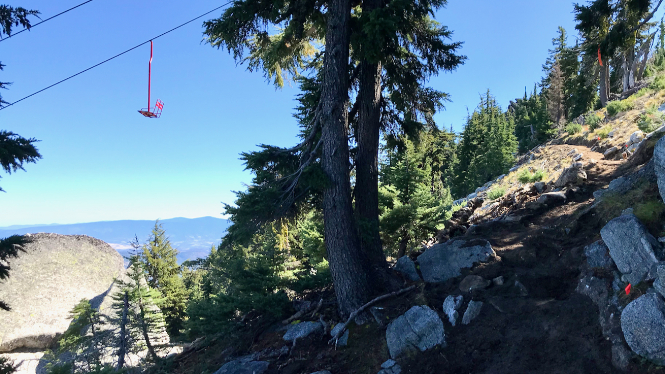
Corp Camp is a road that doubles as a multi-use trail.…
– Distance: ~2.1 miles
– Min/max elev.: 6570’/7488′
– Elev. gain/loss: 913’/-2′
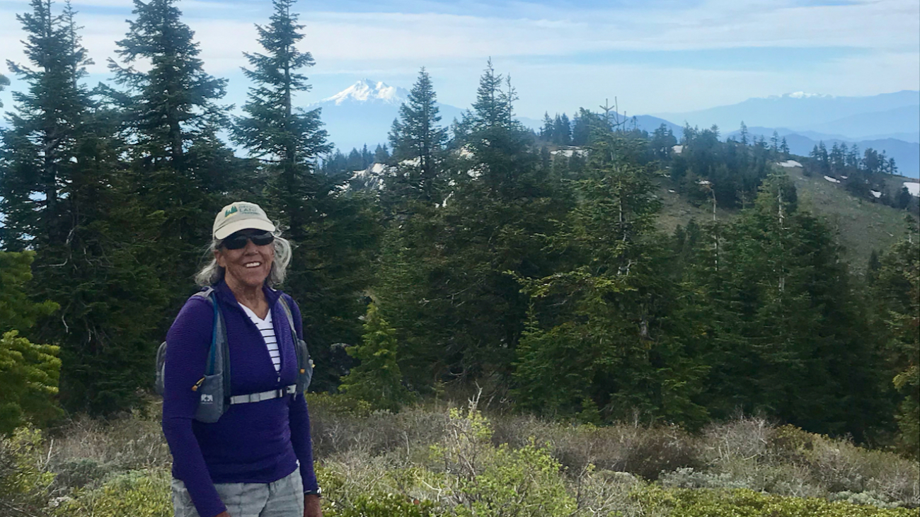
Start at the U.S. Forest Service kiosk next to the Mt. Ashland parking lot.…
– Distance: ~5.4 miles
– Min/max elev.: 6515’/6782′
– Elev. gain/loss: 360’/-360′
Starting at Mt Ashland, head west through the Mt Ashland parking lot and onto FS Road 20.…
– Distance: 8.5 miles
– Min/max elev.: 6515’/7186′
– Elev. gain/loss: 1023’/-1023′
Starting at Mt Ashland, head west through the Mt Ashland parking lot and onto FS Road 20.…
– Distance: 11.1 miles
– Min/max elev.: 2217’/6569′
– Elev. gain/loss: 33’/-4385′
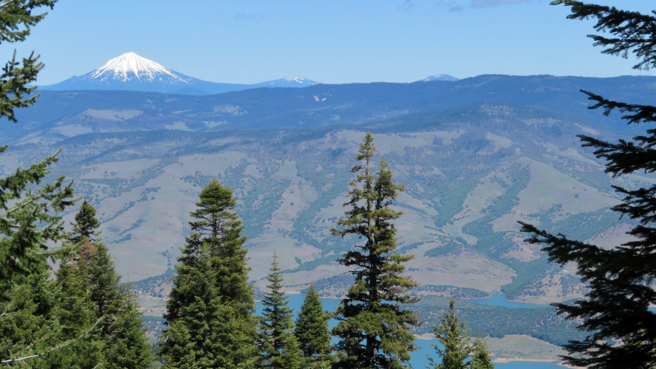
Sometimes you want to take the easy way down the mountain and this is one of those routes, probably the most direct and quickest, but also potentially full of hikers, runners and uphill bikers.…
– Distance: 12.3 miles
– Min/max elev.: 2216’/6575′
– Elev. gain/loss: 573’/-4929′
This is a mostly downhill ride with a cross-country flair. From the Mt Ashland parking lot, head down the Bull Gap trail (for the first half-mile it is double-track, then single-track).…

– Distance: 17.4 miles
– Min/max elev.: 2217’/6569′
– Elev. gain/loss: 662’/-5019′
Sometimes you don’t want the challenge of unrelenting single-track, but you’re OK with some climbing on the way down, especially if you get some good views; this might be your route.…
– Distance: 30 miles
– Min/max elev.: 4035’/7187′
– Elev. gain/loss: 4345’/-4345′
This loop could be started at Four Corners, Eastview TH, BullGap, Mt Ashland, or Grouse Gap.…