
Access to Mt Ashland from Ashland is a mere 40-minutes, but the number of routes back to town are numerous with a vertical drop ranging from 4,000 to 5,000+ feet.…
Access to Mt Ashland from Ashland is a mere 40-minutes, but the number of routes back to town are numerous with a vertical drop ranging from 4,000 to 5,000+ feet.…
– Distance: 11.6 miles
– Min/max elev.: 2220’/6570′
– Elev. gain/loss: 441’/-4800′
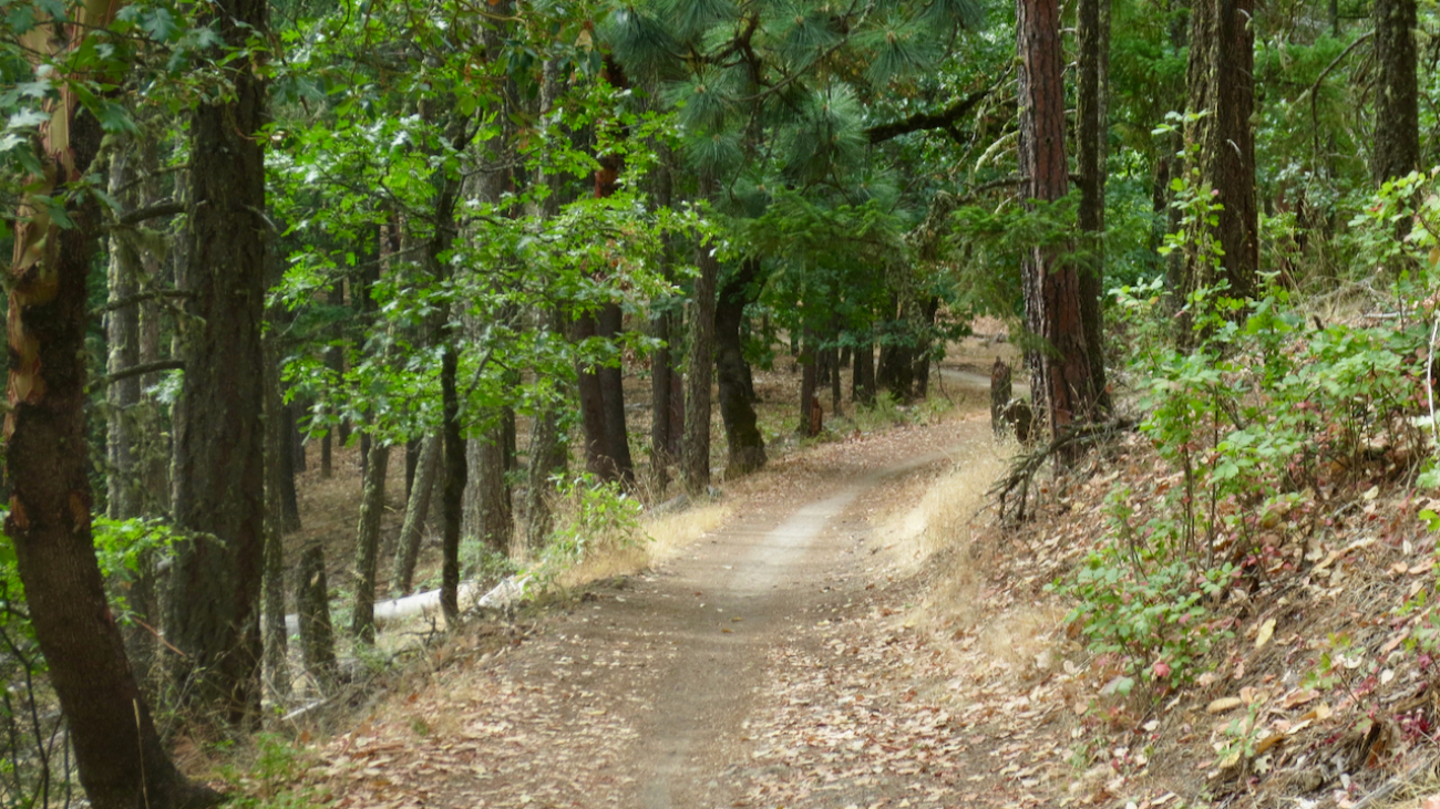
From the Mt Ashland parking lot, head down the Bull Gap trail (for the first half-mile it is double-track, then single-track).…
– Distance: 12.3 miles
– Min/max elev.: 2217’/6576′
– Elev. gain/loss: 675’/-5035′
From the Mt Ashland parking lot, head down the Bull Gap trail (for the first half-mile it is double-track, then single-track).…
– Distance: 16.3 miles
– Min/max elev.: 2216’/6575′
– Elev. gain/loss: 963’/-5322′
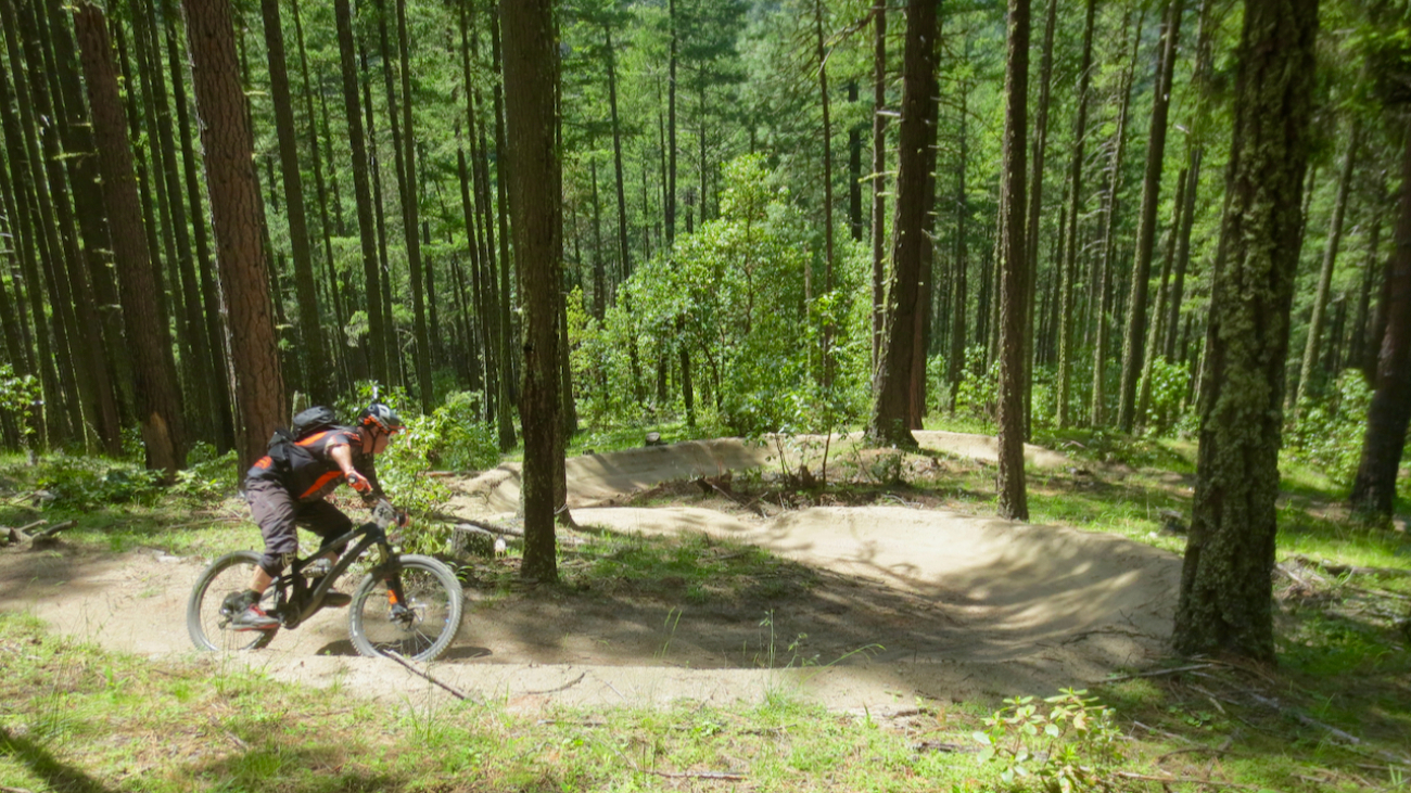
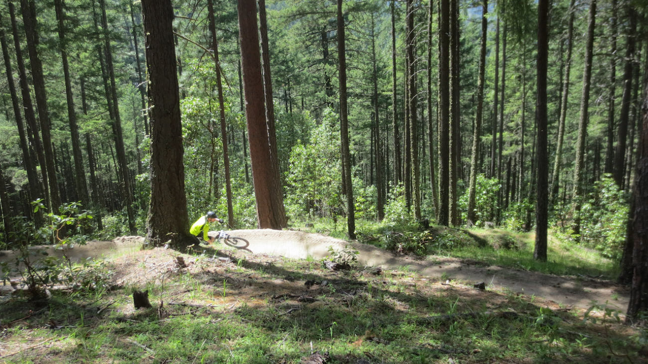
This is a combination xc country-downhill ride featuring some double-track, narrow single-track and some flow trails.…
– Distance: 15.5 miles
– Min/max elev.: 2217’/7016′
– Elev. gain/loss: 840’/-5200′
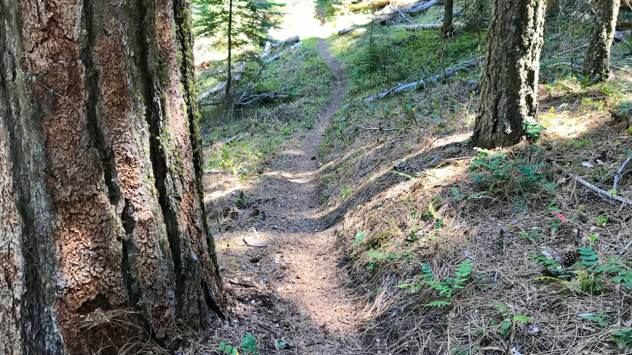
Starting at Mt Ashland, head west through the Mt Ashland parking lot and onto FS Road 20.…