
Description
– Distance: ~ 1.3 miles
– Min/max elev.: 3474’/4298′
– Elev. gain/loss: 99’/-913′
Click here for routes and maps with Martys.
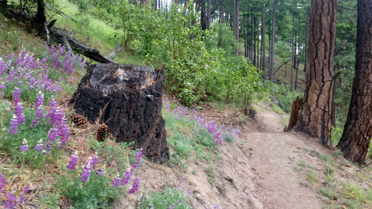
Marty’s is, as of this writing, evolving.…
Description
– Distance: ~ 1.3 miles
– Min/max elev.: 3474’/4298′
– Elev. gain/loss: 99’/-913′
Click here for routes and maps with Martys.
Marty’s is, as of this writing, evolving.…
Description
– Distance: ~ .8 miles
– Min/max elev.: 3450’/3547′
– Elev. gain/loss: 280’/-350′
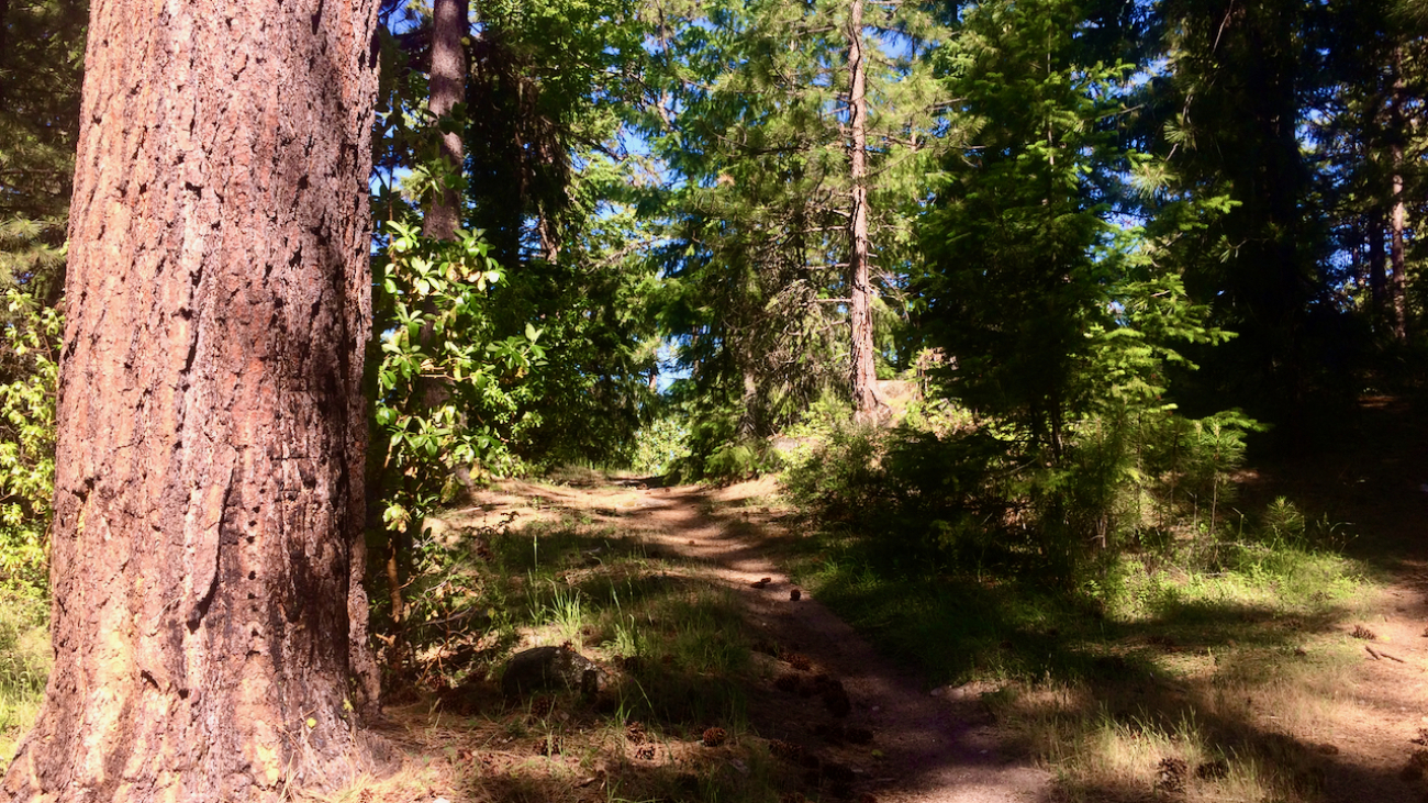
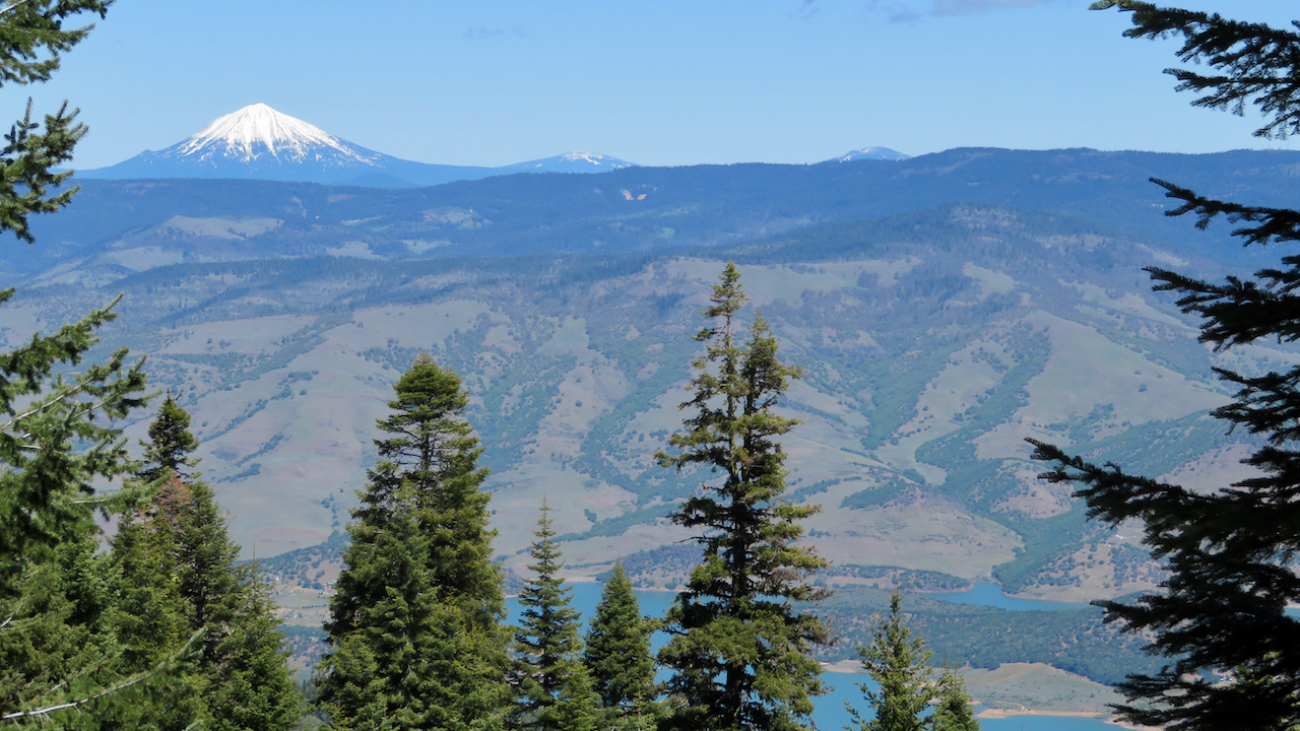
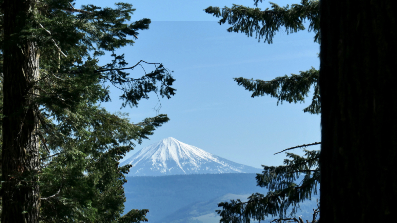
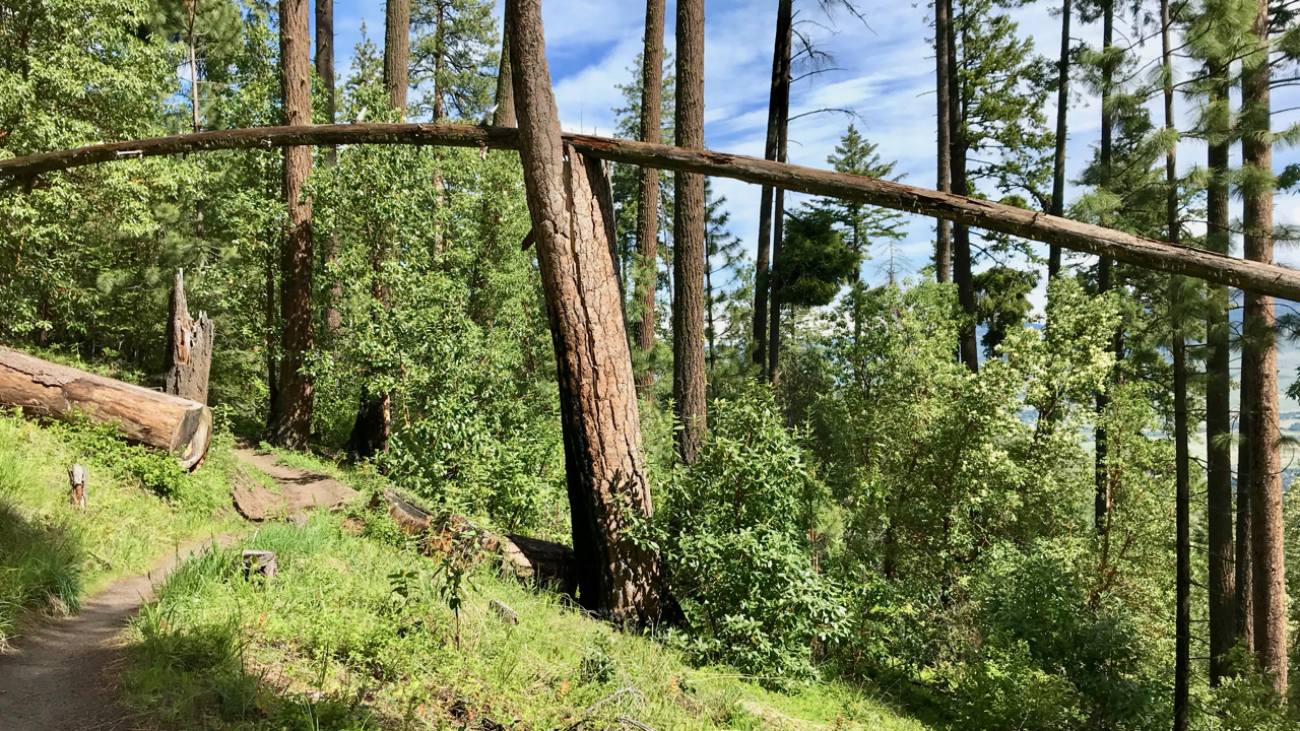
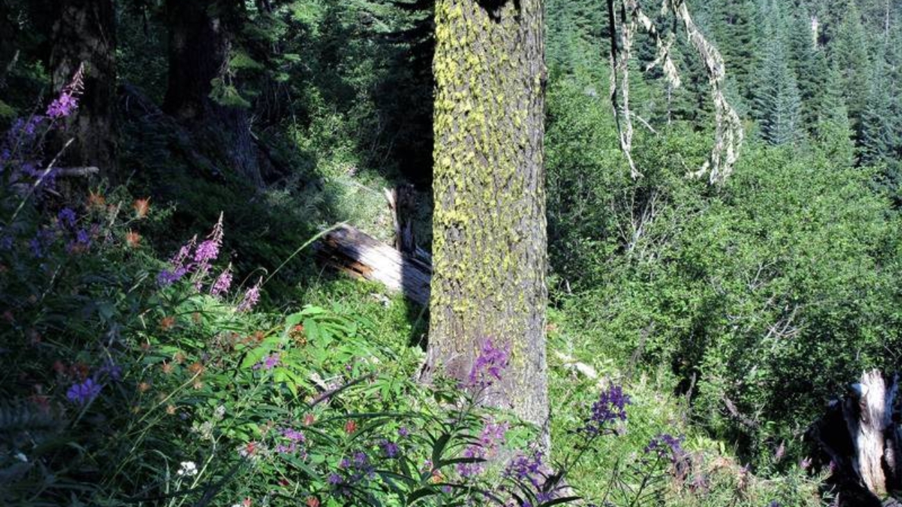
Lamb Mine is a multi-use out-and-back trail that starts at Lamb Saddle, at the intersections of Toothpick, Caterpillar, and Marty’s.…
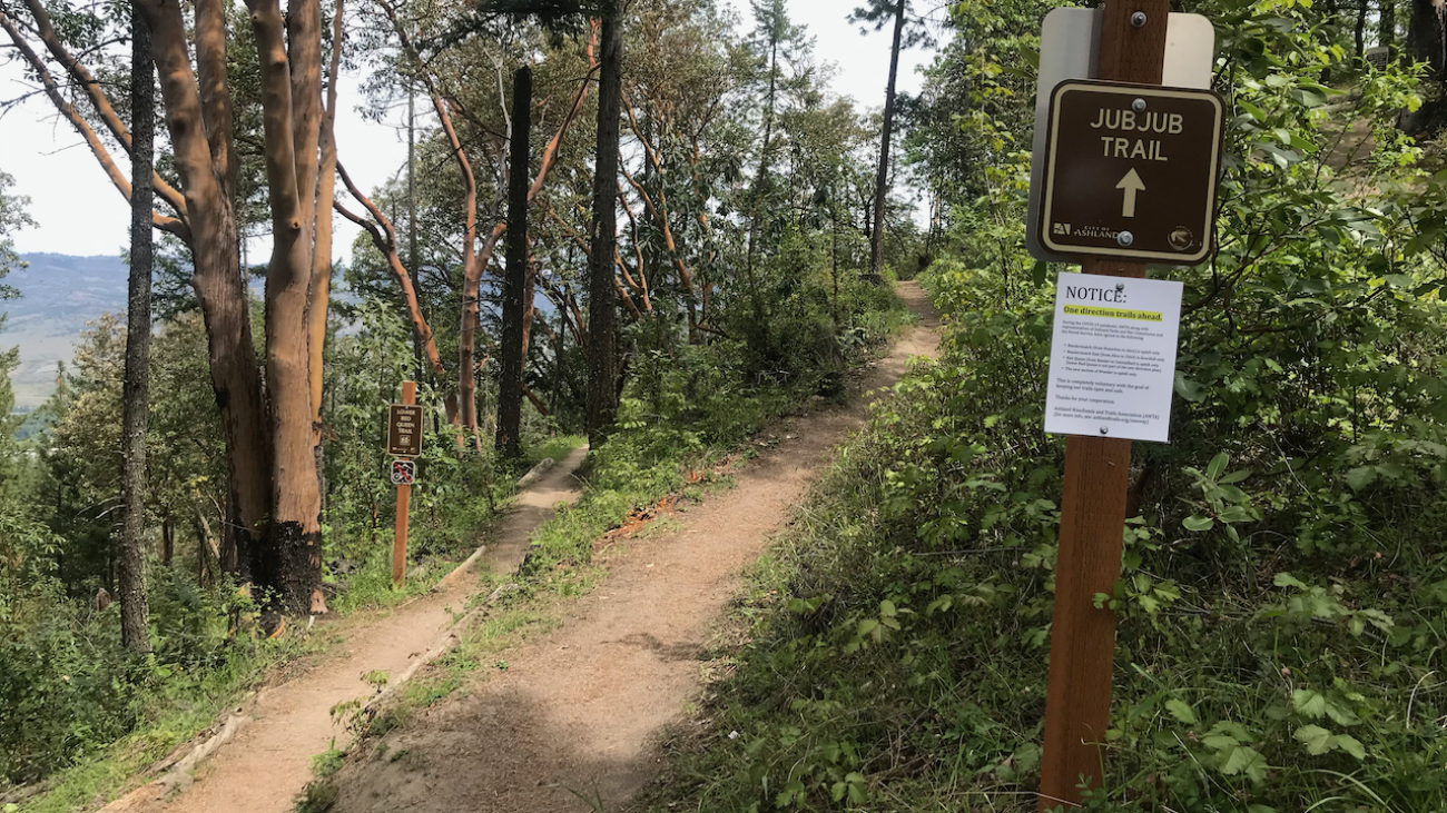
“Beware the Jubjub bird, and shun
The frumious Bandersnatch!”
(from the poem Jabberwocky in Through the Looking-Glass and What Alice Found There, 1872)
Description
– Distance: ~ .1 mile
– Min/max elev.:…
Description
– Distance: ~ 2 miles
– Min/max elev.:…

Description
– Distance: ~ 1.25 miles
– Min/max elev.: 4190’/4694′
– Elev. gain/loss: 119’/-623′
Click here for routes and maps with Horn Gap Trail.
Horn Gap Trail connects on the high end from the intersection of No Candies and FS 2060 to Horn Gap Rd.…
Description
– Distance: ~ 4.4 miles
– Min/max elev.: 3666’/4529′
– Elev. gain/loss: 1373’/-510′
Click here for routes and maps with Horn Gap Rd.
Horn Gap Rd, also known as FS 2060-200, connects from 2060 to the Potlicker trail and passes by the lower end of Horn Gap Trail.…
Description
– Distance: ~3.3 miles
– Min/max elev.: 4023’/4732′
– Elev. gain/loss: 232’/-1935′
Click here for routes and maps with Hitt Rd.
Hitt Rd starts–at the low end–at Strawberry and connects to 2060 at the high end.…
Description
– Distance: ~1.3 miles
– Min/max elev.: 5388’/5711′
– Elev. gain/loss: 449’/-85′
Click here for routes and maps with Corp Camp trail/road.
Corp Camp is a road that doubles as a multi-use trail.…
’Twas brillig, and the slithy toves
Did gyre and gimble in the wabe:
All mimsy were the borogoves,
And the mome raths outgrabe.
— In Jabberwocky, a poem in Through the Looking-Glass, and What Alice Found There
Description
– Distance: ~1.3 miles
– Min/max elev.:…
’Twas brillig, and the slithy toves
Did gyre and gimble in the wabe:
All mimsy were the borogoves,
And the mome raths outgrabe.
— In Jabberwocky, a poem in Through the Looking-Glass, and What Alice Found There
Description
– Distance: ~.7 miles
– Min/max elev.:…
Description
– Distance: ~1.5 miles
– Min/max elev.: 4731’/5060′
– Elev. gain/loss: 502’/-180′
Description
– Distance: ~2.4 miles
– Min/max elev.: 4023’/4732′
– Elev. gain/loss: 811’/-194′
Click here for routes and maps of Eastview trail.
Eastview is a multi-use trail that connects from Tolman Creek Rd (FS Road 2080) to higher up on FS Road 2080.…
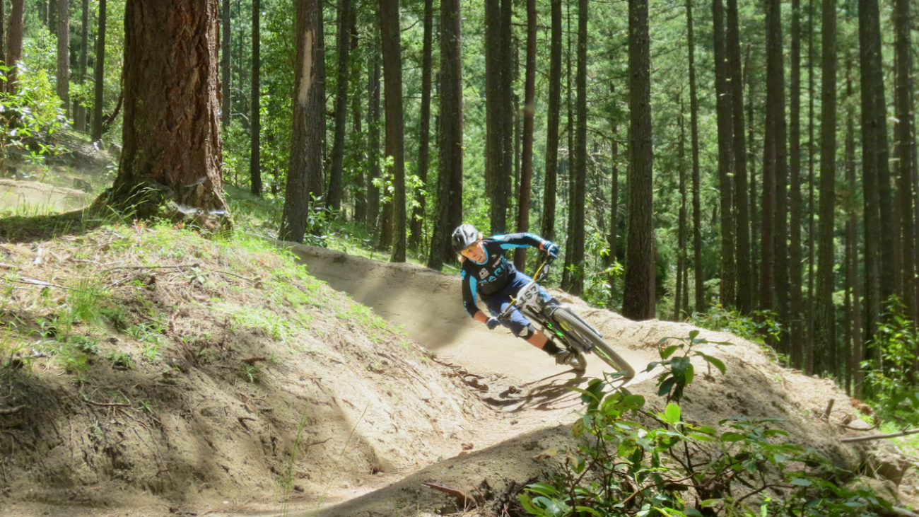
Description
– Distance: ~1.6 miles
– Min/max elev.: 3422’/4367′
– Elev. gain/loss: 994’/-50′
Click here for routes and maps of Catwalk trail.
Catwalk is a popular downhill mountain biking trail, but technically it’s a multi-use single track path for use in either direction.…
In a minute or two the Caterpillar took the hookah out of its mouth and yawned once or twice, and shook itself. Then it got down off the mushroom, and crawled away in the grass, merely remarking as it went, ‘One side will make you grow taller, and the other side will make you grow shorter.’…
Description
– Distance: ~2.9 miles
– Min/max elev.: 5367’/5840′
– Elev. gain/loss: 628’/-486′
Click here for routes and maps with Lower Bull Gap trail.
Lower Bull Gap is a multi-use trail that starts at the intersection of FS 2080 and FS 2080-200 and climbs and then descends to FS 2080-200 near where Missing Links starts.…
Description
– Distance: ~2.5 miles
– Min/max elev.: 5509’/6578′
– Elev. gain/loss: 1116’/-47′
Click here for routes and maps with Bull Gap trail.
Bull Gap trail is a multi-use double-track path from Bull Gap (intersection of FS 2080 and FS 2080-200) to the Mt Ashland Ski Area.…