
“Just the place for a Snark! I have said it twice:
That alone should encourage the crew.
Just the place for a Snark! I have said it thrice:
What I tell you three times is true.”…
“Just the place for a Snark! I have said it twice:
That alone should encourage the crew.
Just the place for a Snark! I have said it thrice:
What I tell you three times is true.”…
Description
– Distance: ~ 1.8 miles
– Min/max elev.: 3264’/3827′
– Elev. gain/loss: 394’/-847′
Click here for routes and maps with Fell on Knee trail.
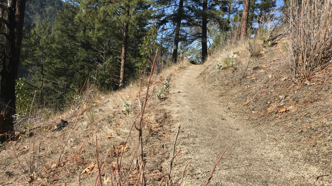
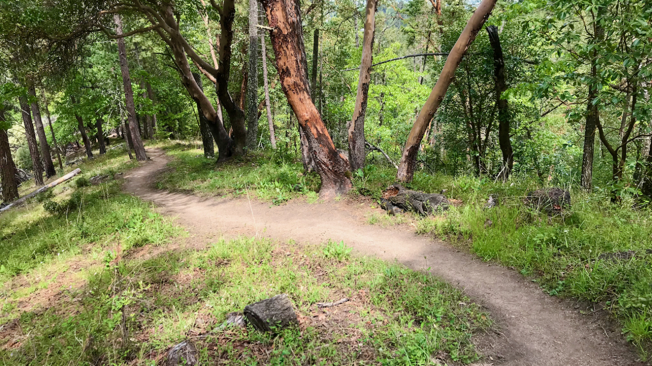
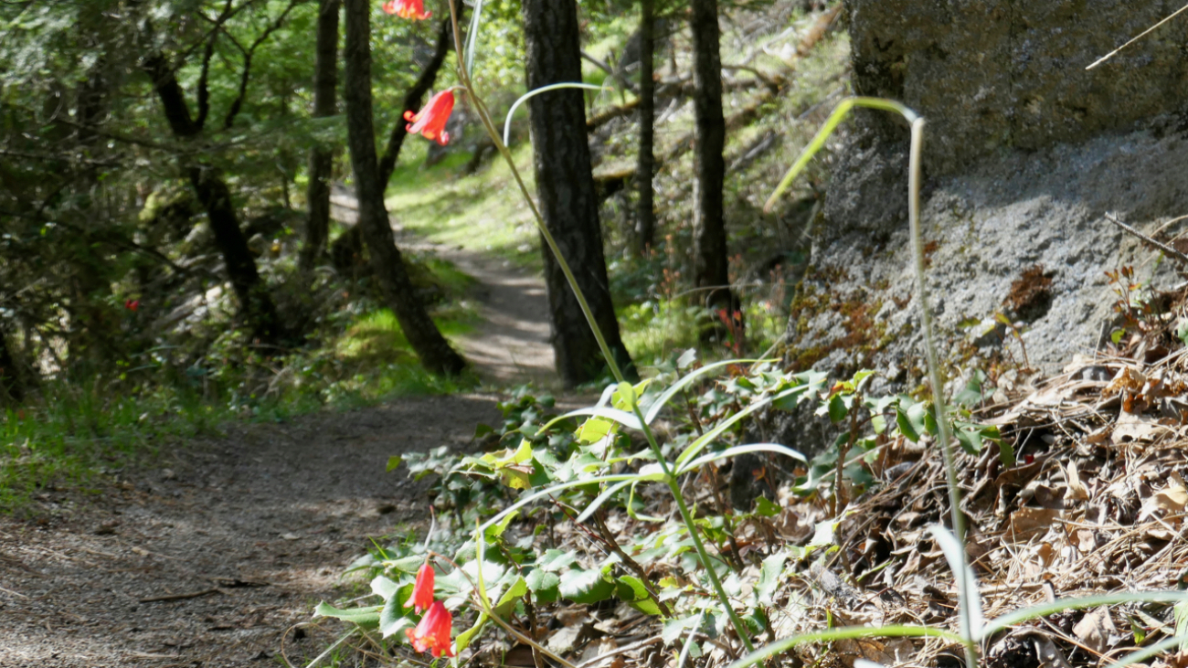
Fell on Knee is a multi-use trail–any direction–starting on the high end at FS 2060-300 (aka Upper Hitt Rd) and terminating in Hitt Rd on the low end.…
“Wisdom begins in wonder”
Socrates
Description
– Distance: ~ 1.6 miles
– Min/max elev.: 2945’/3560′
– Elev. gain/loss: 941’/-378′
“Always be on the lookout for the presence of wonder.”
E.B. White
Description
– Distance: ~ 2.8 miles
– Min/max elev.: 2206’/3054′
– Elev. gain/loss: 1510’/-747′
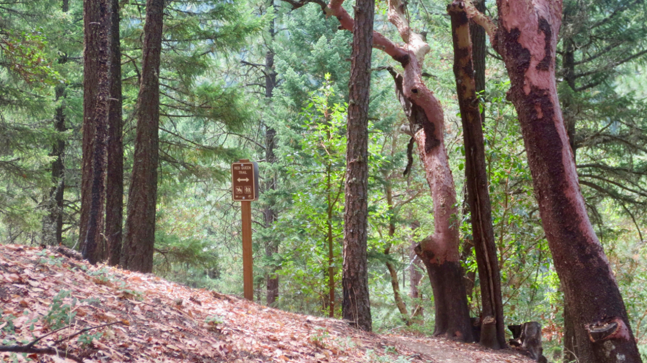
“Why, sometimes I’ve believed as many as six impossible things before breakfast.”
– Red Queen in Through the Looking-Glass and What Alice Found There, 1872
Description
– Distance: .5 miles
– Min/max elev.:…
Description
– Distance: ~.3 miles
– Min/max elev.: 2793’/2981′
– Elev. gain/loss: 219’/-71′
Click here for routes and maps with Gryphon trail.
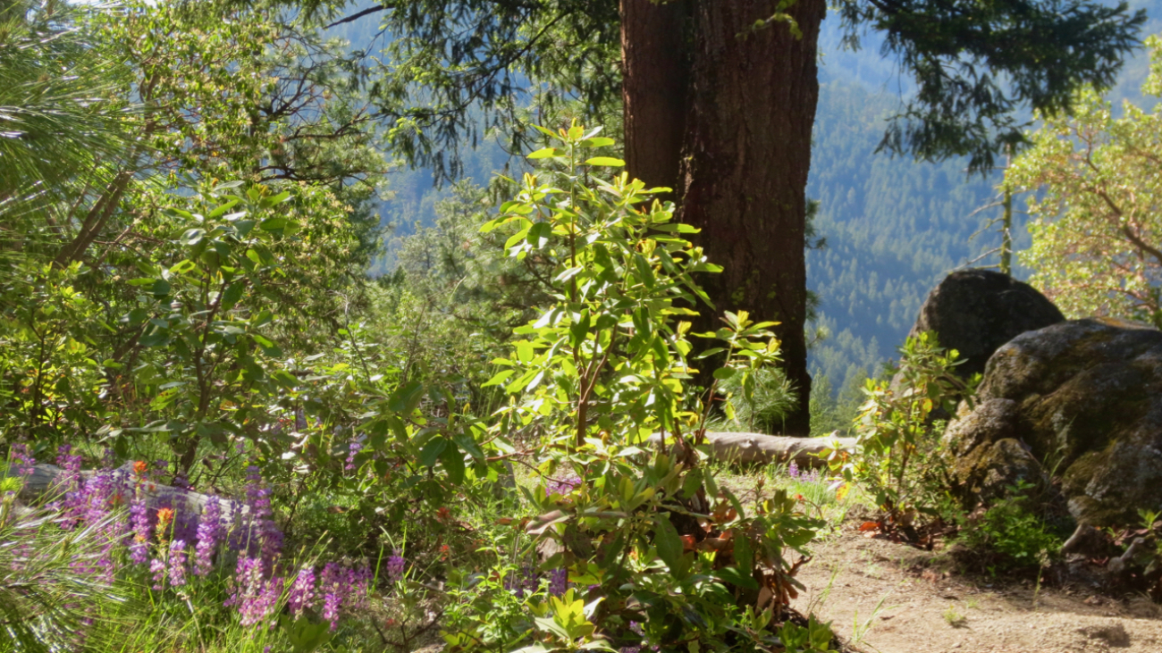
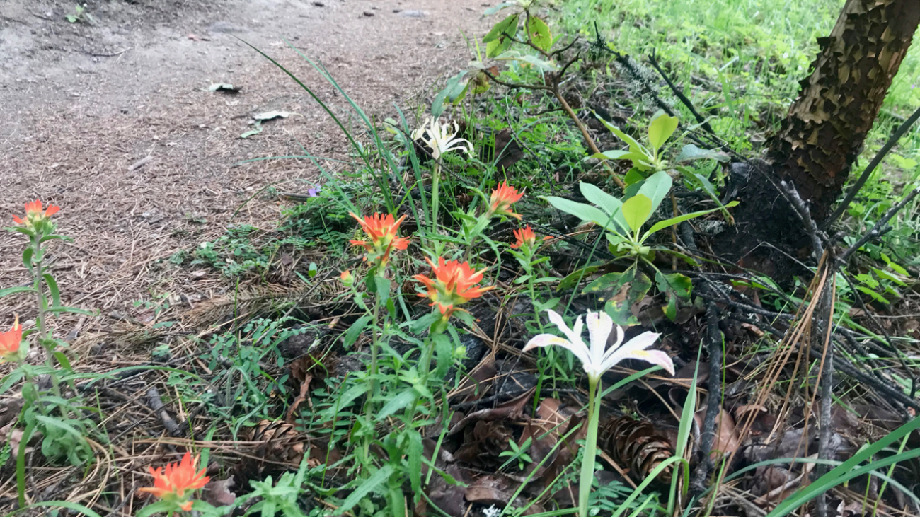
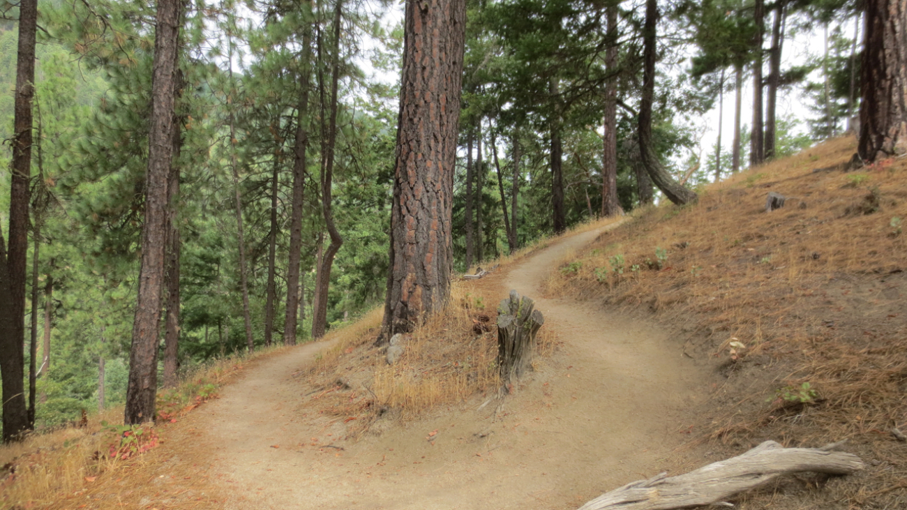
Gryphon is the curvy Lombard St of the Ashland trail system and connects Red Queen to Bandersnatch.…
Now, here, you see, it takes all the running you can do, to keep in the same place. If you want to get somewhere else, you must run at least twice as fast as that!…
Description
– Distance: ~.75 miles
– Min/max elev.: 2370’/2837′
– Elev. gain/loss: 44’/-511′
Click here for routes and maps with BTI trail.
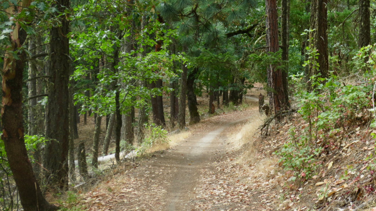
This downhill mountain bike trail begins off Alice in Wonderland and flows into the Waterline trail which, in turn, leads to the Witzend trailhead and parking area above Lithia Park.…
Description
– Distance: ~.65 miles
– Min/max elev.: 2224’/2380′
– Elev. gain/loss: 279’/-151′
Click here for routes and maps with Waterline trail.
Waterline is a short section of ped-bike trail used to connect to Bandersnatch and Snark.…
“Beware the Jabberwock, my son!
The jaws that bite, the claws that catch!
Beware the Jubjub bird, and shun
The frumious Bandersnatch!”
Description
– Distance: ~ 1.7 miles
– Min/max elev.:…
“I know who I WAS when I got up this morning, but I think I must have been changed several times since then.”
– Alice in Alice’s Adventures in Wonderland
Description
– Distance: ~ 1 mile
– Min/max elev.:…
– Distance: ~2.1 miles
– Min/max elev.: 6570’/7488′
– Elev. gain/loss: 913’/-2′
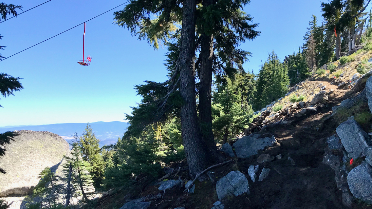
Start at the U.S. Forest Service kiosk next to the Mt. Ashland parking lot.…
– Distance: 2.1 miles
– Min/max elev.: 2426’/2971′
– Elev. gain/loss: 581’/-581′
From the Lower Red Queen TH, head up to the intersection with BTI and Red Queen.…
– Distance: 2.8 miles
– Min/max elev.: 2217’/2971′
– Elev. gain/loss: 810’/-810′
Starting at Witzend parking, head south on Waterline and turn left up Bandernatch.…