
– Distance: ~5.4 miles
– Min/max elev.: 6515’/6782′
– Elev. gain/loss: 360’/-360′
Starting at Mt Ashland, head west through the Mt Ashland parking lot and onto FS Road 20.…
– Distance: ~5.4 miles
– Min/max elev.: 6515’/6782′
– Elev. gain/loss: 360’/-360′
Starting at Mt Ashland, head west through the Mt Ashland parking lot and onto FS Road 20.…
– Distance: ~8 miles
– Min/max elev.: 2200’/3550′
– Elev. gain/loss: 1660’/-1660′
Starting from the Fairy Ponds trail head, follow Wonder 4-miles up all the way to the Lunch Rocks at the intersection with Fell on Knee and then 4-miles back down.…
– Distance: 8.5 miles
– Min/max elev.: 6515’/7186′
– Elev. gain/loss: 1023’/-1023′
Starting at Mt Ashland, head west through the Mt Ashland parking lot and onto FS Road 20.…
– Distance: 9.6 miles
– Min/max elev.: 2011’/4041′
– Elev. gain/loss: 2128’/-2128′
– Pedestrian and Mt Bike
Starting at Fairy Ponds TH, head out FS Rd 2060 for ~4.9 miles.…
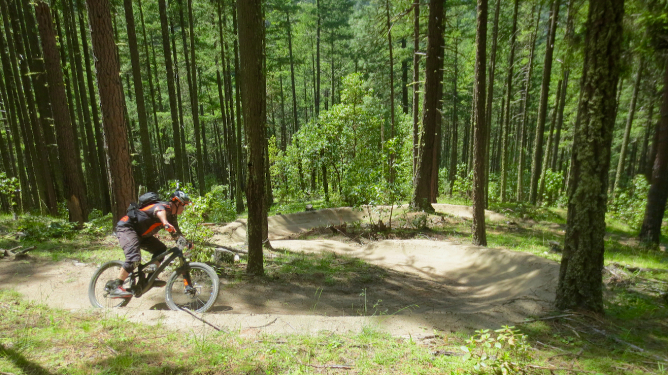
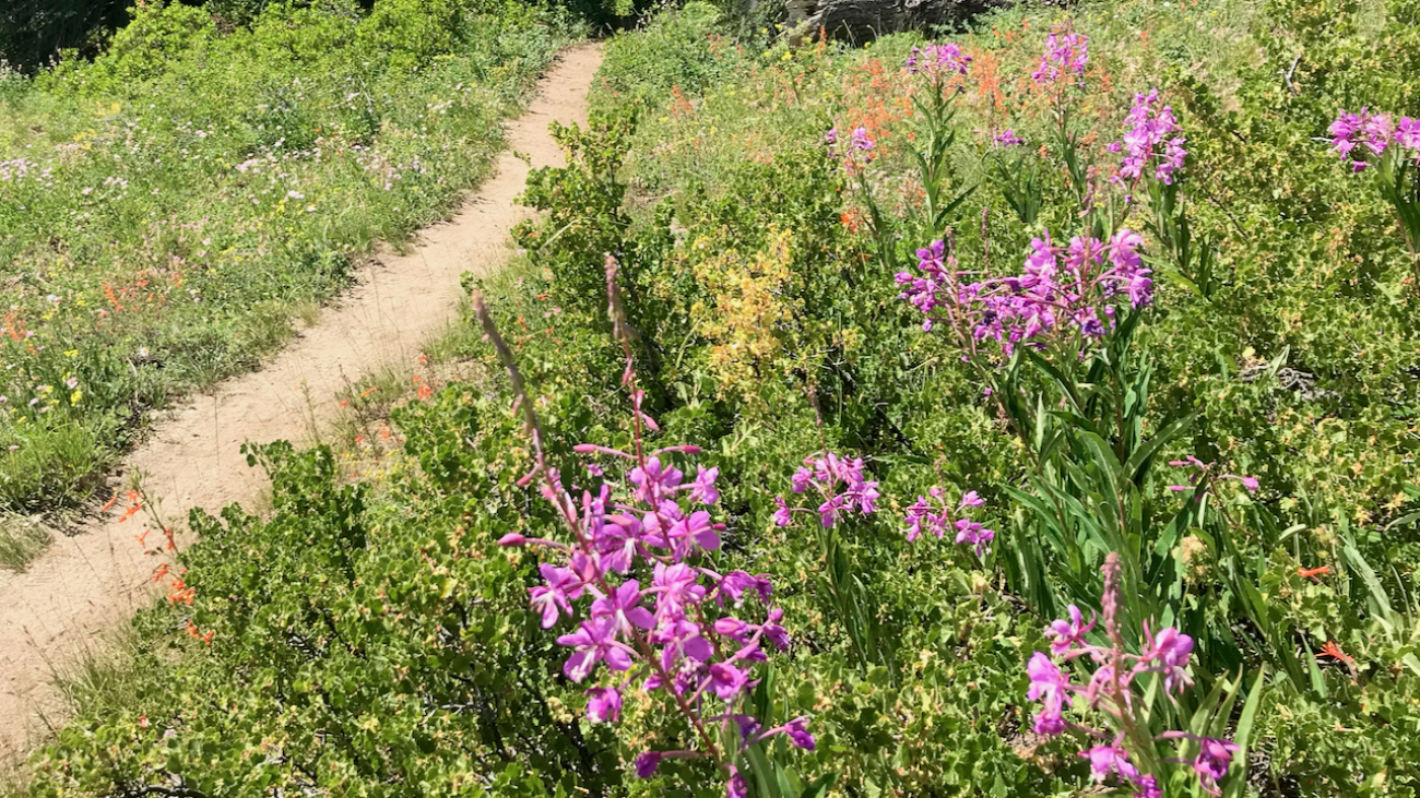
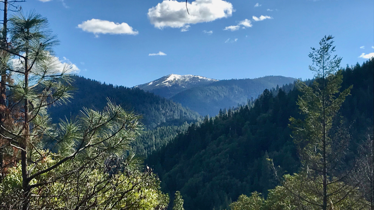
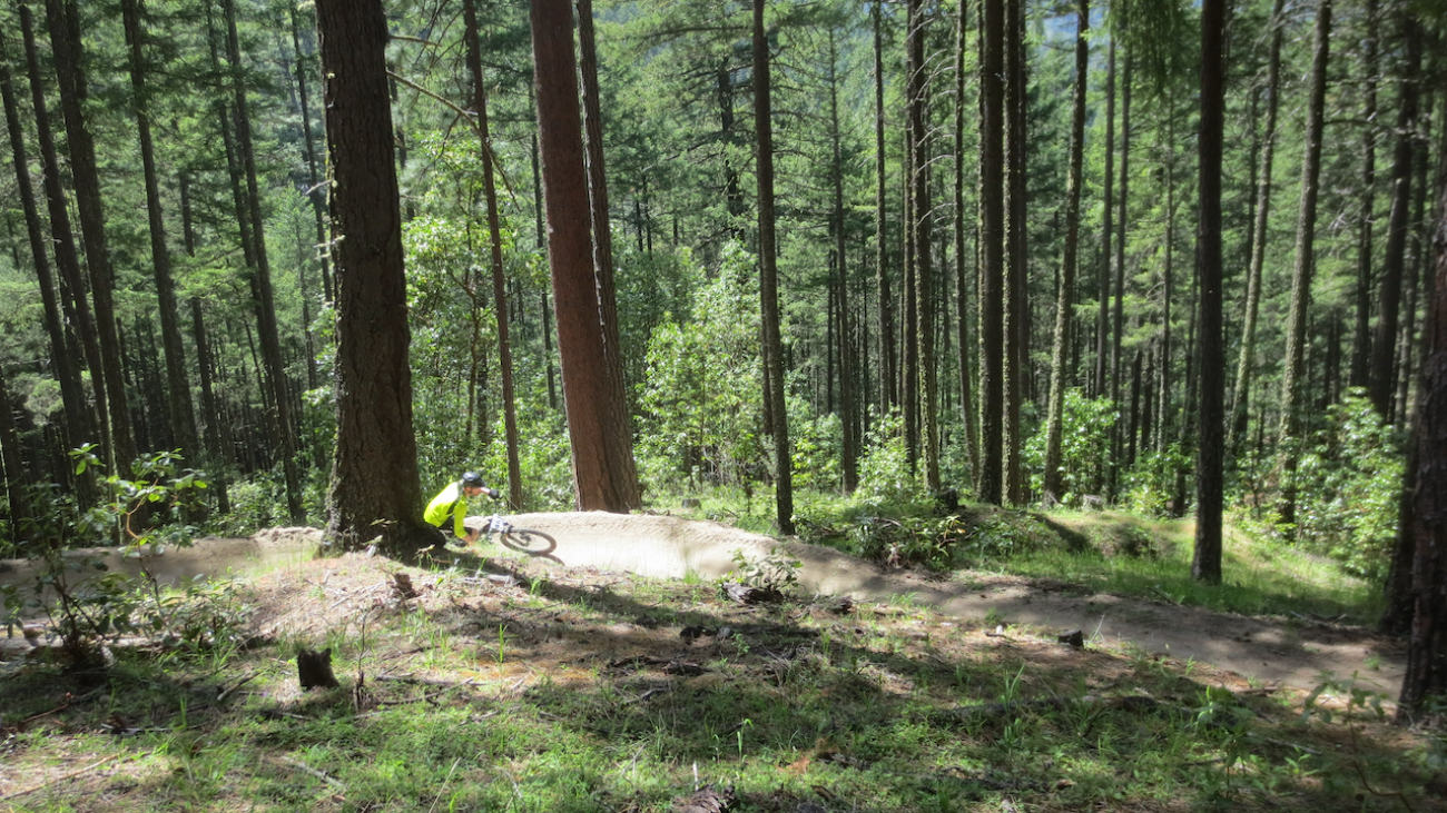
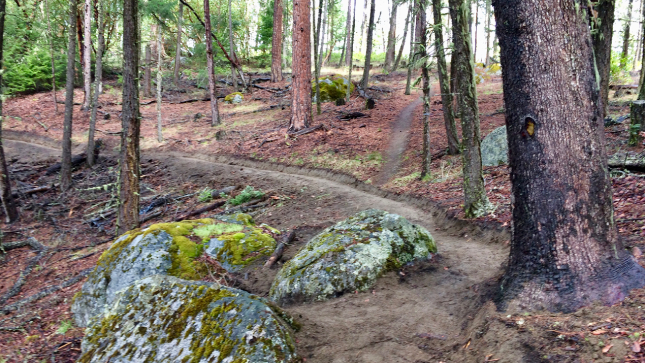
Access to Mt Ashland from Ashland is a mere 40-minutes, but the number of routes back to town are numerous with a vertical drop ranging from 4,000 to 5,000+ feet.…
– Distance: 11.1 miles
– Min/max elev.: 2217’/6569′
– Elev. gain/loss: 33’/-4385′
Sometimes you want to take the easy way down the mountain and this is one of those routes, probably the most direct and quickest, but also potentially full of hikers, runners and uphill bikers.…
– Distance: 11.6 miles
– Min/max elev.: 2220’/6570′
– Elev. gain/loss: 441’/-4800′
From the Mt Ashland parking lot, head down the Bull Gap trail (for the first half-mile it is double-track, then single-track).…
– Distance: 12.3 miles
– Min/max elev.: 2217’/6576′
– Elev. gain/loss: 675’/-5035′
From the Mt Ashland parking lot, head down the Bull Gap trail (for the first half-mile it is double-track, then single-track).…
– Distance: 12.3 miles
– Min/max elev.: 2216’/6575′
– Elev. gain/loss: 573’/-4929′
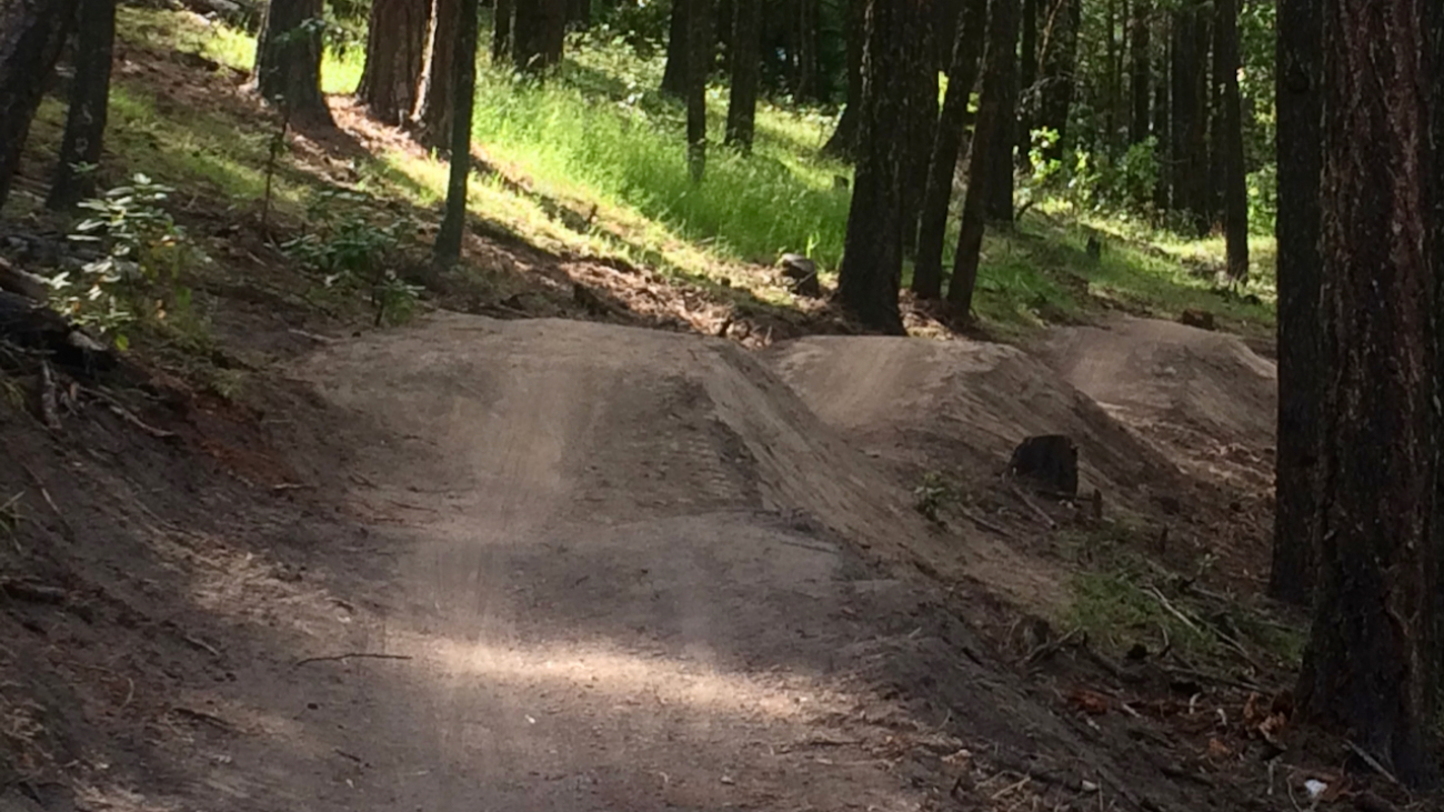
This is a mostly downhill ride with a cross-country flair. From the Mt Ashland parking lot, head down the Bull Gap trail (for the first half-mile it is double-track, then single-track).…
– Distance: 16.3 miles
– Min/max elev.: 2216’/6575′
– Elev. gain/loss: 963’/-5322′
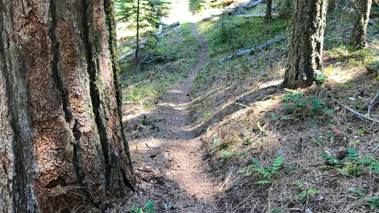
This is a combination xc country-downhill ride featuring some double-track, narrow single-track and some flow trails.…
– Distance: 15.5 miles
– Min/max elev.: 2217’/7016′
– Elev. gain/loss: 840’/-5200′
Starting at Mt Ashland, head west through the Mt Ashland parking lot and onto FS Road 20.…

– Distance: 17.4 miles
– Min/max elev.: 2217’/6569′
– Elev. gain/loss: 662’/-5019′
Sometimes you don’t want the challenge of unrelenting single-track, but you’re OK with some climbing on the way down, especially if you get some good views; this might be your route.…
– Distance: 15.2 miles
– Min/max elev.: 2011’/4252′
– Elev. gain/loss: 3600’/-3600′
This route is mt bike and pedestrian. NOTE: bikes must ride up Wonder. More description coming.…
– Distance: 15.7 miles
– Min/max elev.: 2213’/4882′
– Elev. gain/loss: 3070’/-3070′
This is a pedestrian and mountain bike route.
From Fairy Ponds TH, head southwest on FS 2060 (aka Lithia Loop Trail) for ~1.7 miles.…
– Distance: 18.1 miles
– Min/max elev.: 2209’/4915′
– Elev. gain/loss: 3076’/-3076′
– Pedestrian and Mt Bike
Starting at Fairy Ponds TH, head out FS Rd 2060 for ~3.6 miles.…
– Distance: 25 miles
– Min/max elev.: 2189’/4950′
– Elev. gain/loss: 3382’/-3382′
This is the simple, road-based route around the watershed, using mostly FS-2060 and the Ashland Loop Rd, counter clockwise.…