– Distance: 49.1 miles (actual miles are closer to 50)
– Min/max elev.: 4052’/7489′
– Elev. gain/loss: 8370’/-8370′
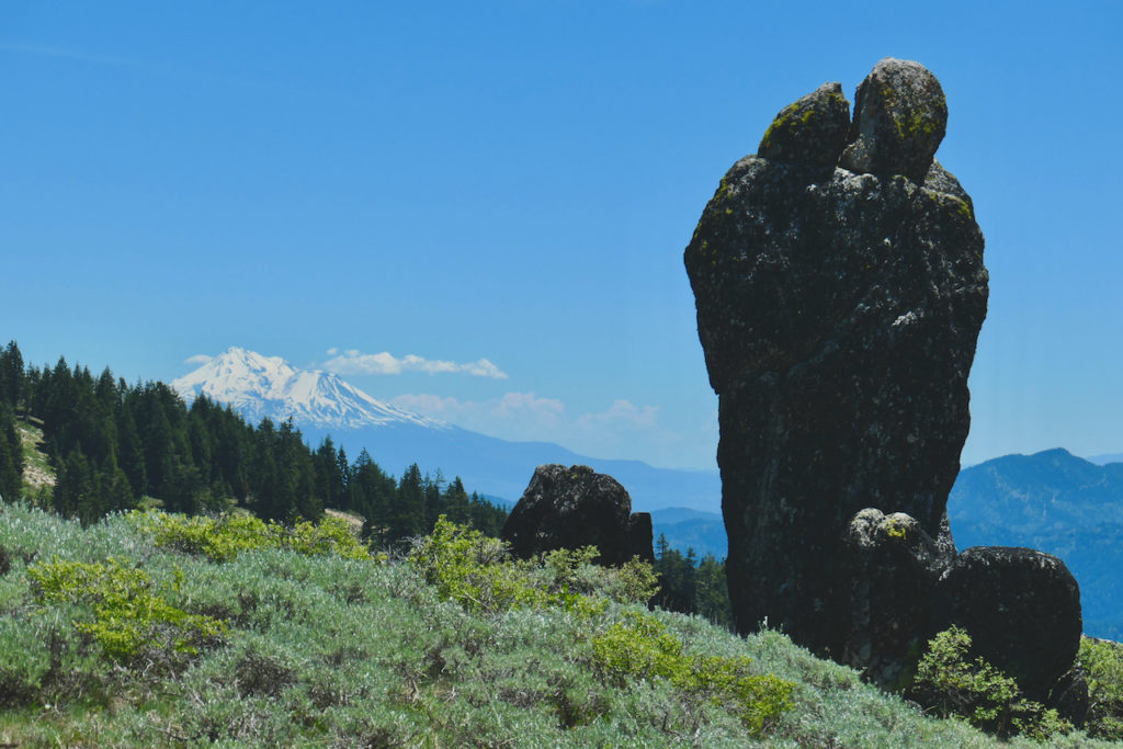
Starting at the Mt Ashland lodge, head southwest through the parking lots to Road 20 briefly before turning left on FS 40S15. Shortly, turn right onto the PCT for ~8.3 miles to Siskiyou Gap. Rejoin FS Rd 20 for ~3 miles to get to Wrangle Gap, where you will rejoin the PCT for ~3.5 miles until the turn-around at the Jackson Gap AS. You’ll now be running on Rd 20 again, heading east, for ~3 miles back to Wrangle Gap, where you will turn left onto the PCT. Running around Big Red Mountain, you’ll be back on the PCT for ~7 miles until the Willamette Meridian AS, where you will rejoin Rd 20 for ~1.4 miles to the Split Rock trail. After ~3 miles, turn right onto the Wagner Glade trail and down to FS Rd 2060. At the Potlicker AS, turn right down the Potlicker trail for ~.5 miles to Horn Gap Rd. Turn left and head down the road for ~2.7 miles to the Horn Gap Trail. Go up the Horn Gap Trail for ~1.3 miles to 2060, then turn left (south) on 2060 for ~7.5 miles to the Time Warp Trail, where you will climb ~3 miles to FS 20-300, turn left and climb to the top of Mt Ashland. Follow the route signs to return to the Start/Finish at the Mt Ashland lodge. For more info: SOB Website.

