
– Distance: 25 miles
– Min/max elev.: 2189’/4950′
– Elev. gain/loss: 3382’/-3382′
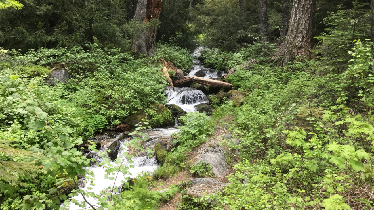
This is the simple, road-based route around the watershed, using mostly FS-2060 and the Ashland Loop Rd, counter clockwise.…
– Distance: 25 miles
– Min/max elev.: 2189’/4950′
– Elev. gain/loss: 3382’/-3382′
This is the simple, road-based route around the watershed, using mostly FS-2060 and the Ashland Loop Rd, counter clockwise.…
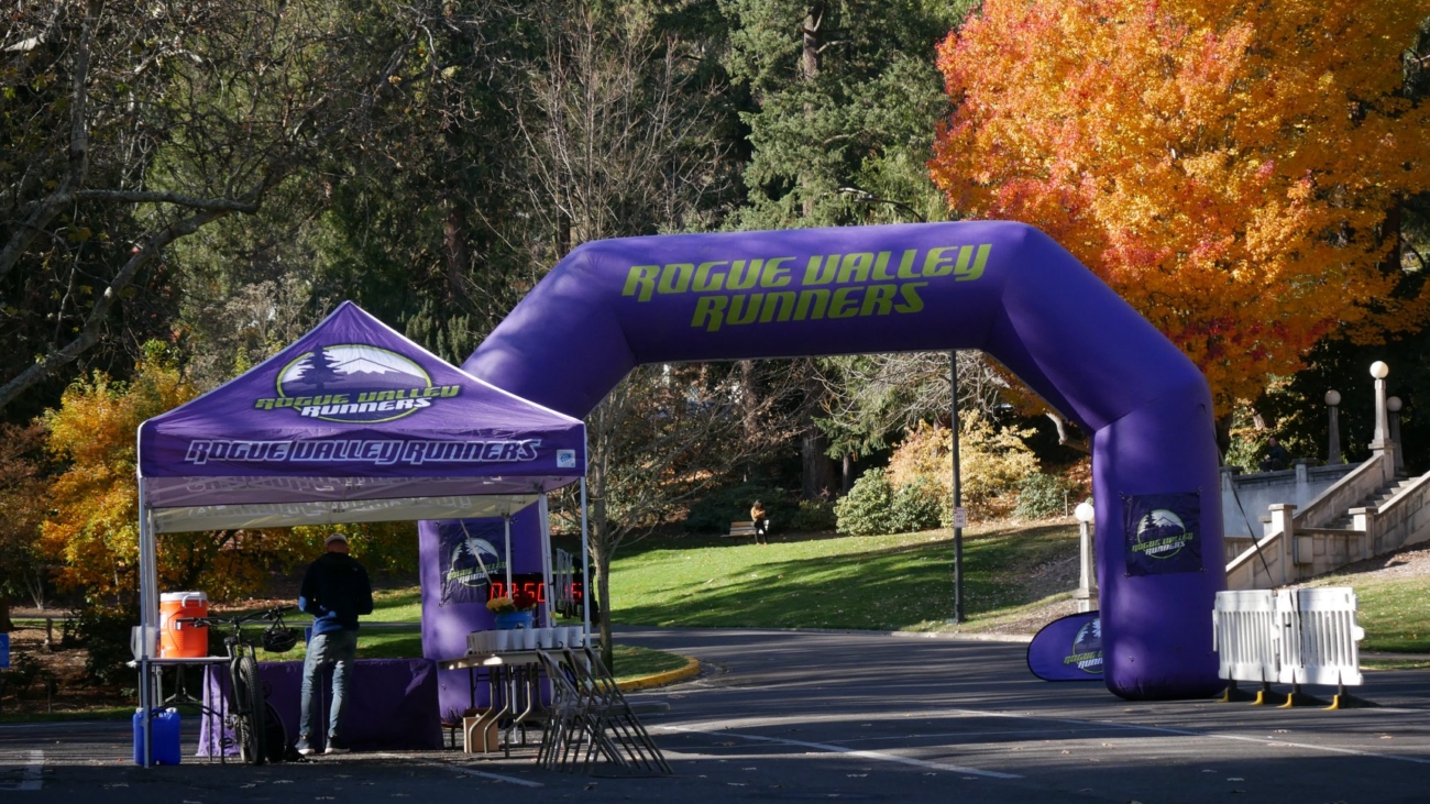
– Distance: 26.2 miles
– Min/max elev.: 1946’/4930′
– Elev. gain/loss: 3861’/-3861′
Download the GPX file or zoom in to see turns of this classic trail marathon course.…
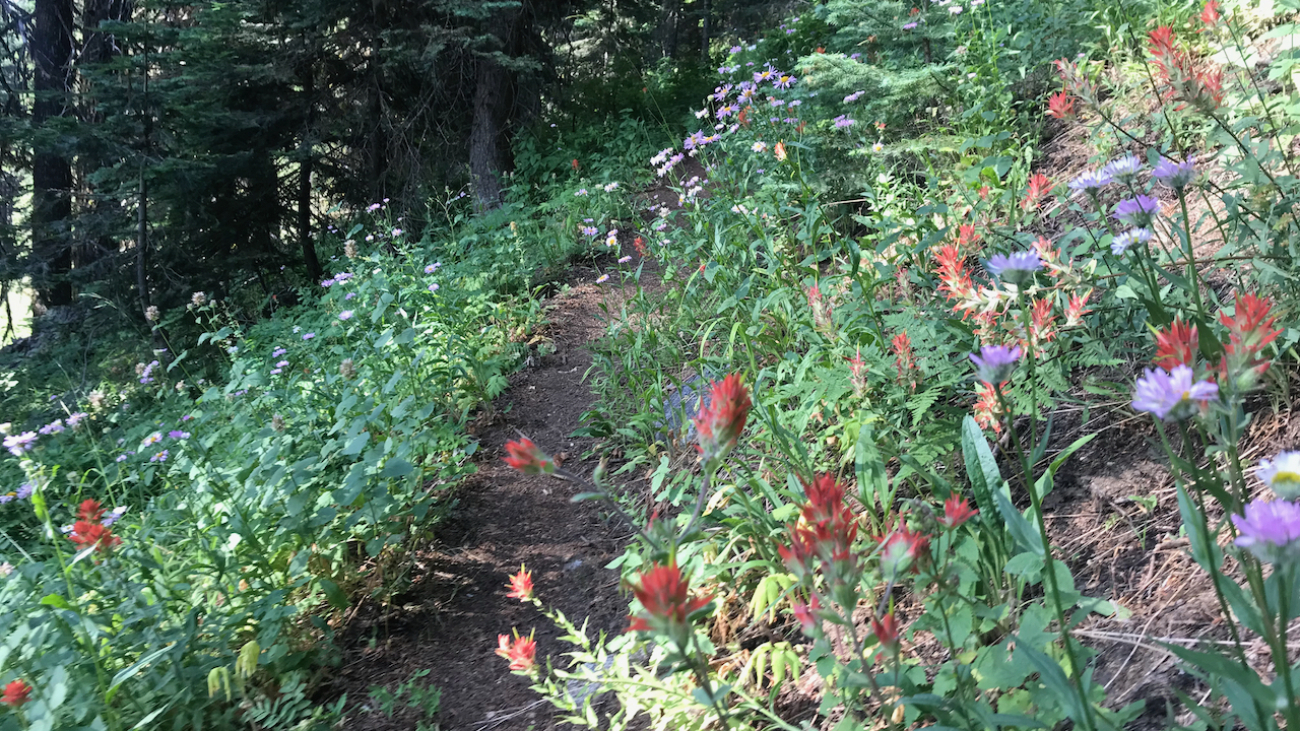
– Distance: 30.1 miles
– Min/max elev.: 2189’/7187′
– Elev. gain/loss: 6039’/-6039′
Starting at Witzend, head out Waterline, up Bandersnatch to Red Queen.…
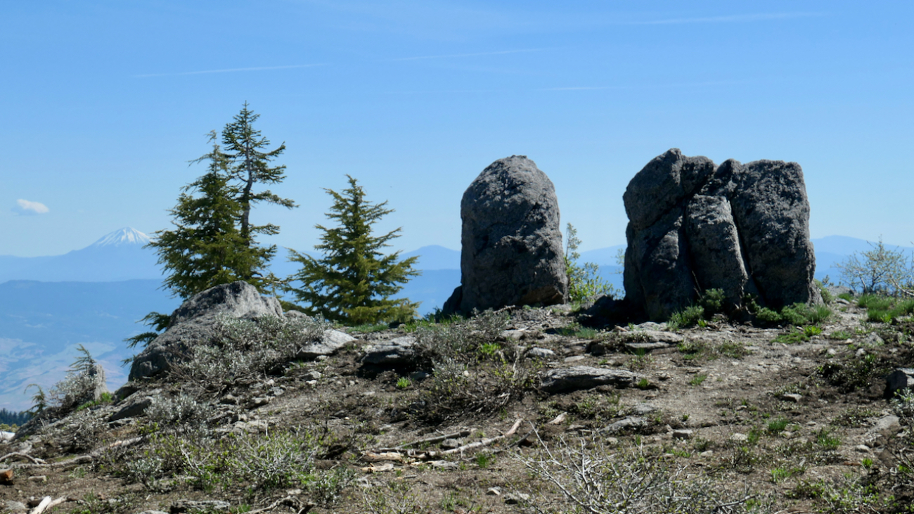
– Distance: 30 miles
– Min/max elev.: 4035’/7187′
– Elev. gain/loss: 4345’/-4345′
This loop could be started at Four Corners, Eastview TH, BullGap, Mt Ashland, or Grouse Gap.…
– Distance: 49.1 miles (actual miles are closer to 50)
– Min/max elev.: 4052’/7489′
– Elev. gain/loss: 8370’/-8370′
Starting at the Mt Ashland lodge, head southwest through the parking lots to Road 20 briefly before turning left on FS 40S15.…
– Distance: 60.15 mi (actual is closer to 62)
– Min/max elev.: 2931’/7469′
– Elev. gain/loss: 11,564’/-11,564′
Starting at the Mt Ashland lodge, head southwest through the parking lots to Road 20 briefly, before veering left on FS 40S15.…
– Distance: 15.1 miles
– Min/max elev.: 1907’/6574′
– Elev. gain/loss: 4713’/-46′
This is the usual course for the Mt Ashland Hillclimb mt bike race.…