
Description
– Distance: ~2.4 miles
– Min/max elev.: 4023’/4732′
– Elev. gain/loss: 811’/-194′
Click here for routes and maps of Eastview trail.
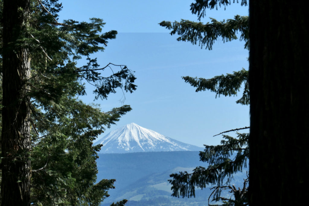
Eastview is a multi-use trail that connects from Tolman Creek Rd (FS Road 2080) to higher up on FS Road 2080. It then continues as Upper Eastview up to Rd 2060-200. The trail starts out as a road (technically it’s Forest Service road 2080-700) with a relatively flat start and then begins to climb gently. Higher up, the trail affords views of the eastern side of Ashland, the Bear Creek valley, and Emigrant Lake. Higher up one can spy Mt Mcloughlin through trees.
Eastview is less popular than most Ashand trails, probably because it starts off the dirt Tolman Creek Rd. Loops are possible with FS Road 2080 and/or FS Road 2060-200 and FS Road 600 as well as Lower Bull Gap trail.
History
Eastview trail was and still is a Forest Service road and was incorporated in the 2000 Rogue River National Forest Service (RRNSF) Ashland Watershed trails plan as a trail.
Written by Torsten Heycke 04/30/2020