
Description
– Distance: ~.3 miles
– Min/max elev.: 2793’/2981′
– Elev. gain/loss: 219’/-71′
Click here for routes and maps with Gryphon trail.
Gryphon is the curvy Lombard St of the Ashland trail system and connects Red Queen to Bandersnatch. This is a short, pedestrian-only trail that helps facilitate some nifty loops at relatively low elevation (usually below snow levels in winter). Great views can be had of Mt Ashland and the surrounding peaks. Loop opportunities exist: Red Queen, Bandersnatch, Snark Trail, and Alice in Wonderland.
History
While working on the Red Queen trail, some AWTA board members noticed deserted camping sites above and below the proposed Red Queen along a ridge that led up to Alice in Wonderland. AWTA had obtained easements from two property owners along the Alice in Wonderland route and Gryphon uses one of those easements to connect to Bandersnatch. Other than the private property, this trail is all on city property so AWTA submitted a trails application to, and received permission to build from, the Forest Lands Commission, in late 2015.
Prior to the construction of Gryphon, AWTA hosted a massive garbage collection effort from the various campsites in the area. The result was a full garbage truck!
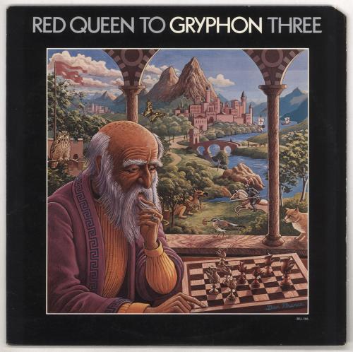
The Gryphon name, like many trails on the east side of the Ashland trail system, is a Lewis Carroll derivation, plus it had a nice tie to the album cover above.
Written by Torsten Heycke 04/28/2020