
Description
– Distance: ~2.9 miles
– Min/max elev.: 5367’/5840′
– Elev. gain/loss: 628’/-486′
Click here for routes and maps with Lower Bull Gap trail.
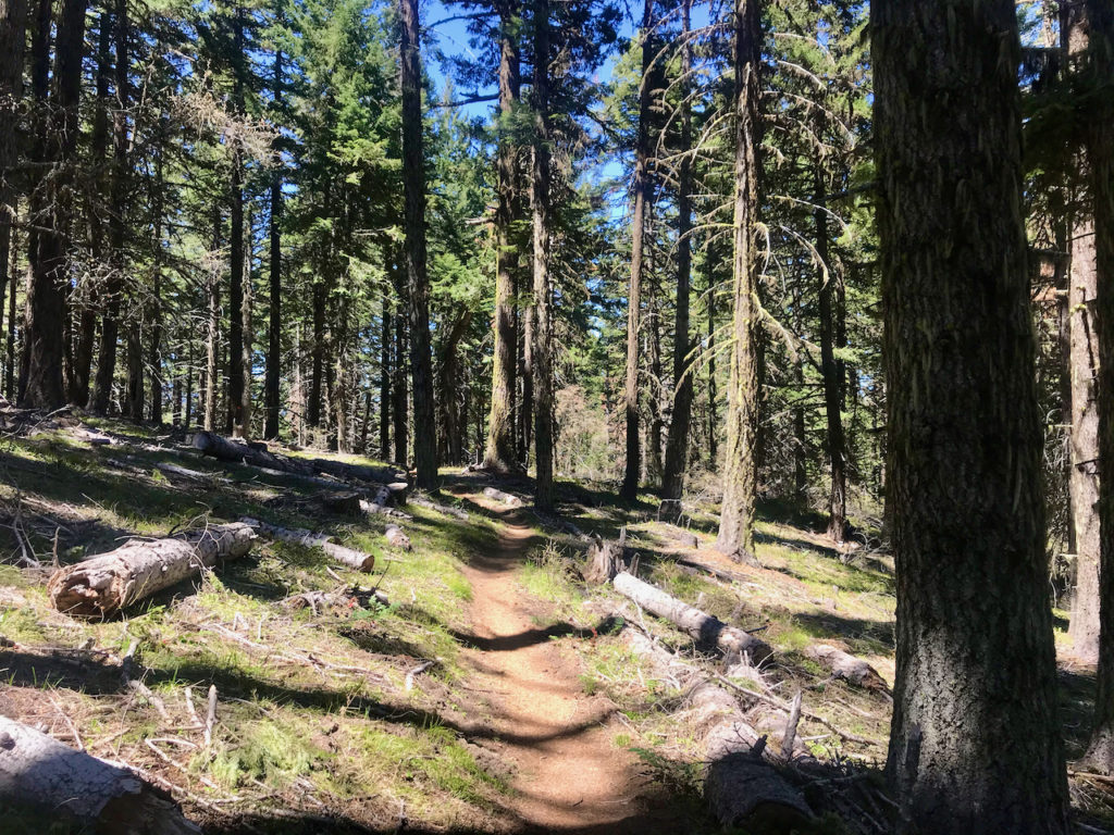
Lower Bull Gap is a multi-use trail that starts at the intersection of FS 2080 and FS 2080-200 and climbs and then descends to FS 2080-200 near where Missing Links starts. This trail is mostly single track with some old sections of old road thrown in.
History
The following is from the RRSNF website: “From the mid 1930s to early 1960s the route of the Bull Gap Trail was part of the old ‘Mount Ashland Loop Road.’ Built by Civilian Conservation Corps (CCC), it was the only route to Mount Ashland from town. There was once a picnic area and fountain (abandoned ca. 1971) at the site of the present trailhead.”
Written by Torsten Heycke 04/30/2020