
Description
– Distance: ~ 2.3 miles
– Min/max elev.: 4495’/4889′
– Elev. gain/loss: 560’/-360′
Click here for routes and maps with No Candies trail.
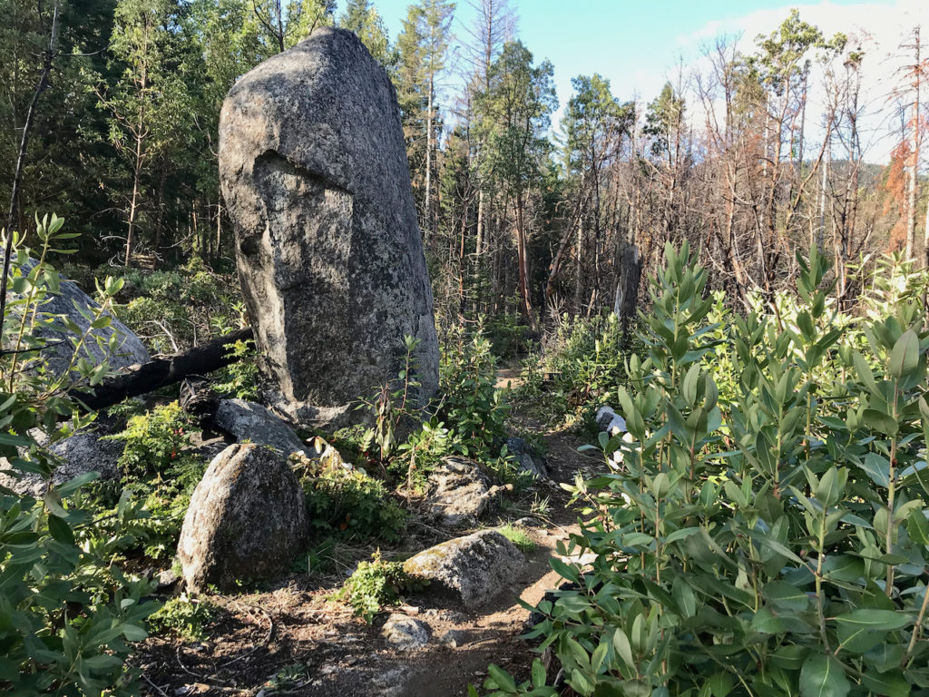
The No Candies multi-use trail connects from the top of FS Rd 2060-400 to the intersection of FS 2060 and Horn Gap trail. Narrow and rocky in parts, the trail is actually one of the least technical and steep in the Ashand trail system. The trail features immense granite boulders and large Ponderosas, with great views of Mt. Ashland and the expanse of the Ashland watershed. Recent Ashland Forest Resiliency efforts have opened the views considerably, though left some of the area quite charred. This trail passes by the old Skyline Mine.
The trail crosses 2060-400 several times but is signed well. Some people divide this trail into two sections, calling the section nearest Horn Gap trail, Menace and the lower No Candies.
The popular Ostrich Peak is nearby, but on private land. Several other rogue trails connect near the northern end of No Candies, but are also primarily on private land, and it’s best to avoid these.
History
This trail is a mix of old mining road, hunting trail (you can still see several tree stands) and rogue trail construction. No Candies was incorporated into the Ashland Trails Plan by AWTA in 2011 and confirmed as legitimate trail in late 2015.