
– Distance: 8.5 miles
– Min/max elev.: 6515’/7186′
– Elev. gain/loss: 1023’/-1023′
Starting at Mt Ashland, head west through the Mt Ashland parking lot and onto FS Road 20. After ~.4 miles, turn left at the first road intersection (40S15) and after ~.4 miles, turn right onto the Pacific Crest Trail (PCT). Follow the PCT for ~ 2.4 miles until reaching a high point very close to FS Rd 20. Follow a short connector trail to Rd 20 and follow Rd 20 for a few hundred yards until reaching the Split Rock TH. Turn right onto the trail and follow it .65 miles to the top of McDonald Peak.
Return to Rd 20 and stay on it the rest of the way back to Mt Ashland for a bit of a loop, or return the same way.
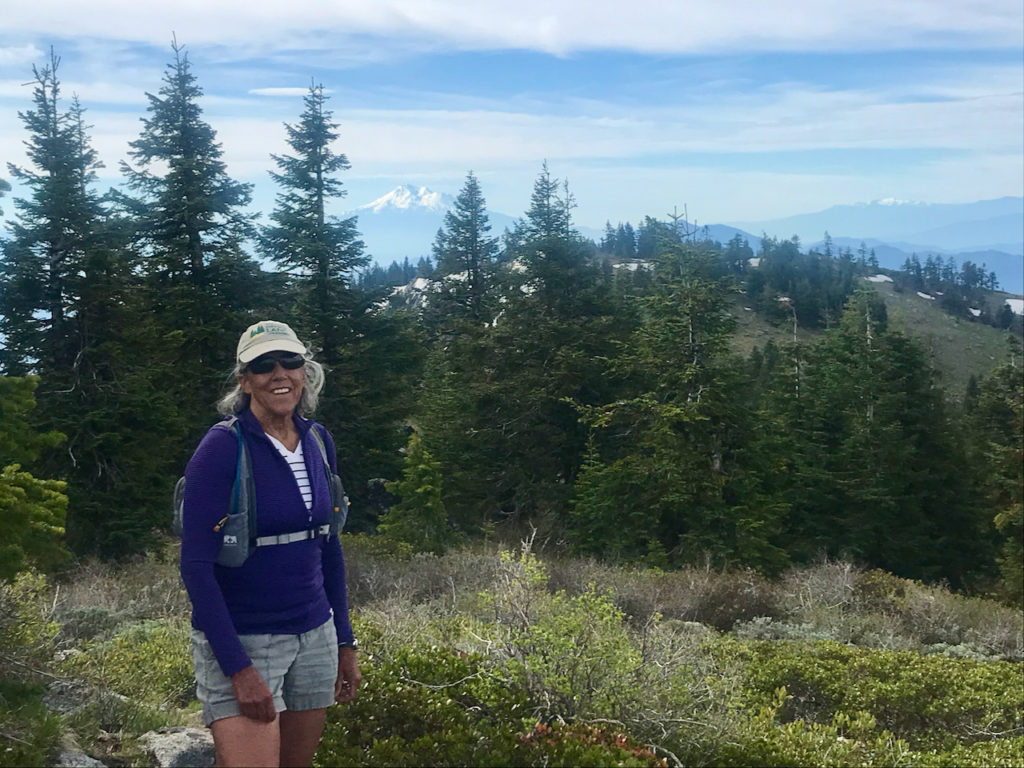
Views include Mt Shasta, the Marble Mountains, the Eddies, Trinity Alps to the south. To the north are Mt Mcloughlin and Wagner Butte and many others.
Created by Torsten Heycke. Updated May 30, 2020