
Description
– Distance: .8 miles
– Min/max elev.: 3704’/4241′
– Elev. gain/loss: 664’/-147′
Click here for routes and maps with Ricketty trail.
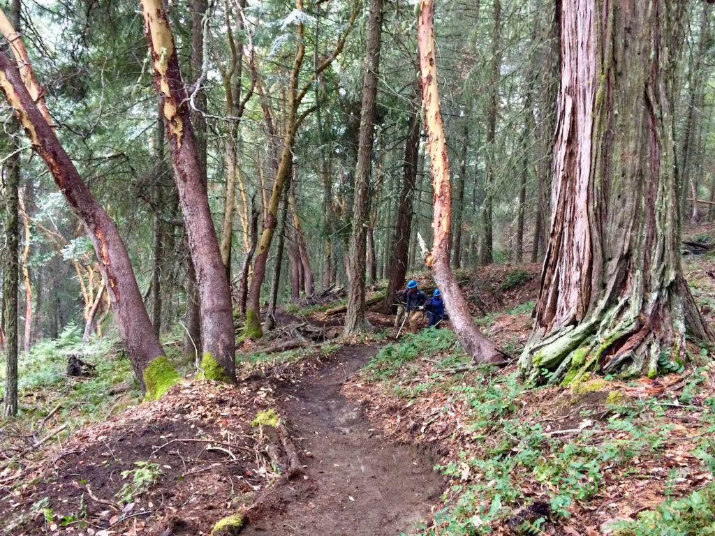
Ricketty connects from Horn Gap Rd (near FS 2060) up to FS 2060. A multi-use trail, it starts gently but then follows a steep old skid road. The trail meets FS 2060 near FS 2060-400, which climbs up to No Candies trail. Ricketty can be incorporated into various loops, but because of its steepness, it has not achieved the use of many other trails in the area. It is, however, one of the quickest ways to get to the No Candies trail.
Ricketty features some large cedars and is popular area for bears.
History
Ricketty was formerly part of a vision in the AWTA 2011 trails proposal of a route that would connect over to Hitt Rd (FS 2060-300) and basically join what is now the Fell on Knee trail. For various reasons (including Spotted Owl and Pacific Fisher habitat), the longer version of this route was not approved in the 2015 Ashland Trail Plan, however, Ricketty remained.
LIDAR technology helped identify the location of old road beds that could relatively quickly be converted to trail. This trail was built by AWTA in the fall of 2017.
Written by Torsten Heycke 05/14/2020