
– Distance: 17.4 miles
– Min/max elev.: 2217’/6569′
– Elev. gain/loss: 662’/-5019′
Sometimes you don’t want the challenge of unrelenting single-track, but you’re OK with some climbing on the way down, especially if you get some good views; this might be your route.
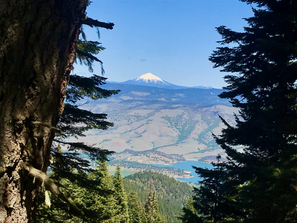
From the Mt Ashland parking lot, head down the Bull Gap trail to Bull Gap, where you will turn soft left (east) onto the 2080 Rd. This is the main dirt road and is not gated. Stay on this road until the next dirt road, Corp Camp, where you will turn left. This dirt road climbs steadily through some slash piles, but also affords some incredible views of Mt Mcloughlin, Emigrant Lake, Mt Shasta and Grizzly Peak. Turn right on the first trail (not road!) which is Missing Links. As of this writing (5/30/2020), that intersection was not marked by a trail sign. Follow Missing Links until connecting to the Upper Eastview trail (this intersection is also not marked) but there are no other intersections. Turn right on Upper Eastview to start a rolling descent on very narrow, but not technical, single track. Cross FS Rd 2080 to continue down Eastview trail to the Eastview TH.
At the Eastview TH, turn left (west) to climb gently to Four Corners. Here, you will turn right (north) on FS 2060 and descend this road basically all the way to town. This dirt road briefly changes names to Ashland Loop Rd below the White Rabbit TH and turns to pavement for about a half-mile before continuing again as dirt down to Glenview (just above Lithia Park). Turn left to end up at the Witzend TH (or right to head more directly downtown).
Created by Torsten Heycke. Updated May 30, 2020