
Access to Mt Ashland from Ashland is a mere 40-minutes, but the number of routes back to town are numerous with a vertical drop ranging from 4,000 to 5,000+ feet. Here are just si ...
Access to Mt Ashland from Ashland is a mere 40-minutes, but the number of routes back to town are numerous with a vertical drop ranging from 4,000 to 5,000+ feet. Here are just si ...
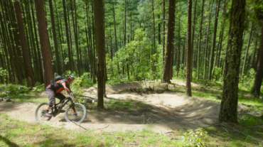
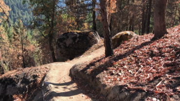
– Distance: 16.3 miles – Min/max elev.: 2216'/6575' – Elev. gain/loss: 963'/-5322' This is a combination xc country-downhill ride featuring some double-track, narrow single-tr ...
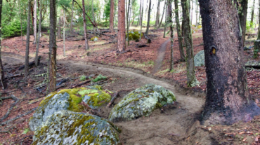
- Distance: 15.5 miles - Min/max elev.: 2217'/7016' - Elev. gain/loss: 840'/-5200' Starting at Mt Ashland, head west through the Mt Ashland parking lot and onto ...
– Distance: 17.4 miles – Min/max elev.: 2217’/6569′ – Elev. gain/loss: 662’/-5019′ Sometimes you don't want the challenge of unrelenting si ...
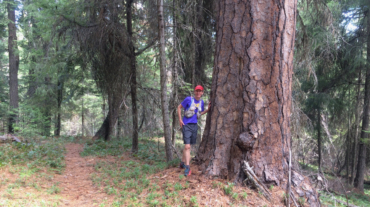
- Distance: 15.2 miles - Min/max elev.: 2011'/4252' - Elev. gain/loss: 3600'/-3600' This route is mt bike and pedestrian. NOTE: bikes must ride up Wonder. More description ...
- Distance: 15.5 miles - Min/max elev.: 2205'/4882' - Elev. gain/loss: 3148'/-3148' - Pedestrian, Mt Bike Starting at Fairy Ponds TH, head out FS Rd 2060 ...
- Distance: 15.7 miles - Min/max elev.: 2213'/4882' - Elev. gain/loss: 3070'/-3070' This is a pedestrian and mountain bike route. From Fairy P ...

- Distance: 18 miles - Min/max elev.: 2212'/4915' - Elev. gain/loss: 3115'/-3115' - Pedestrian, Mt Biking Starting at Fairy Ponds TH, head out FS Rd 2060 ...
- Distance: 18.1 miles - Min/max elev.: 2209'/4915' - Elev. gain/loss: 3076'/-3076' - Pedestrian and Mt BikeStarting at Fairy Ponds TH, head out FS Rd 206 ...