
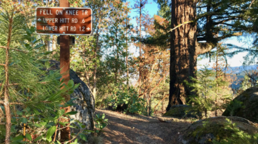
- Distance: 10.6 miles - Min/max elev.: 2217'/4375' - Elev. gain/loss: 2445'/-2445' Starting at Witzend, head out Waterline, up Bandersnatch, turn right at Red ...
- Distance: 10.6 miles - Min/max elev.: 2217'/4375' - Elev. gain/loss: 2445'/-2445' Starting at Witzend, head out Waterline, up Bandersnatch, turn right at Red ...
- Distance: 10.8 miles - Min/max elev.: 2011'/4252' - Elev. gain/loss: 2423'/-2423' - Pedestrian and Mt Bike From the Fairy Ponds TH, head south out FS Rd ...
- Distance: 11.8 miles - Min/max elev.: 2217'/6569' - Elev. gain/loss: 609'/-4961' This is a mostly downhill ride with a smorgasbord of cro ...
- Distance: 11.2 miles - Min/max elev.: 2215'/6577' - Elev. gain/loss: 120'/-4482' This is a great training run for WSER and other ultrarunning events. Catch a mt bike shuttle ...
- Distance: 11.5 miles - Min/max elev.: 2189'/4041' - Elev. gain/loss: 2731'/-2731' This is mostly for runners who are looking for multiple uphill-downhill sect ...
- Distance: 14.5 miles - Min/max elev.: 2201'/4882' - Elev. gain/loss: 2785'/-2785' - Pedestrian and Mt Bike Starting at Fairy Ponds TH, head out FS Rd 2060 for ~1.7 miles to ...
- Distance: 14.8 miles - Min/max elev.: 2217'/7016' - Elev. gain/loss: 675'/-5021' Starting at Mt Ashland, head west through the Mt Ashland parking lot and onto ...

- Distance: 14.6 mi - Min/max elev.: 2189'/4041' - Elev. gain/loss: 3142'/-3142' Starting at Witzend TH, head south on Glenview and then left at Granite St to join FS Rd 2060 ...
- Distance: 15.5 miles - Min/max elev.: 2205'/4882' - Elev. gain/loss: 3148'/-3148' - Pedestrian, Mt Bike Starting at Fairy Ponds TH, head out FS Rd 2060 ...

- Distance: 18 miles - Min/max elev.: 2212'/4915' - Elev. gain/loss: 3115'/-3115' - Pedestrian, Mt Biking Starting at Fairy Ponds TH, head out FS Rd 2060 ...
- Distance: 20.5 miles - Min/max elev.: 2204'/4915' - Elev. gain/loss: 3689'/-3689' Starting at Fairy Ponds TH, head southwest out FS Rd 2060 for ~3.6 mil ...
- Distance: 23.9 miles - Min/max elev.: 2215'/5848' - Elev. gain/loss: 4270'/-4270' Starting at Witzend, head out Waterline, up Bandersnatch, turn right at Red Queen. At the t ...
- Distance: 30.1 miles - Min/max elev.: 2189'/7187' - Elev. gain/loss: 6039'/-6039' Starting at Witzend, head out Waterline, up Bandersnatch to Red Queen. At th ...
- Distance: 49.1 miles (actual miles are closer to 50) - Min/max elev.: 4052'/7489' - Elev. gain/loss: 8370'/-8370' Starting at the Mt Ashland lodge, head south ...
- Distance: 15.1 miles - Min/max elev.: 1907'/6574' - Elev. gain/loss: 4713'/-46' This is the usual course for the Mt Ashland Hillclimb mt bike race. The start ...