
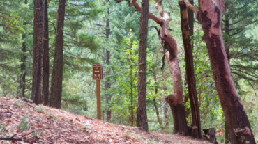
Description – Distance: ~.3 miles – Min/max elev.: 2793’/2981′ – Elev. gain/loss: 219’/-71′ Click here for routes and maps with Gryphon trail. Gryphon is the curvy Lombard St ...

Description – Distance: ~.3 miles – Min/max elev.: 2793’/2981′ – Elev. gain/loss: 219’/-71′ Click here for routes and maps with Gryphon trail. Gryphon is the curvy Lombard St ...
- Distance: 2.1 miles - Min/max elev.: 2426'/2971' - Elev. gain/loss: 581'/-581' From the Lower Red Queen TH, head up to the intersection with BTI and Red Queen. Cross BTI ...
- Distance: 2.8 miles - Min/max elev.: 2217'/2971' - Elev. gain/loss: 810'/-810' Starting at Witzend parking, head south on Waterline and turn left up Bandernat ...
- Distance: 3.1 miles - Min/max elev.: 2762'/3359' - Elev. gain/loss: 704'/-704' From White Rabbit TH, head north on White Rabbit and then turn right onto Caterpillar trail (w ...
- 3.6 miles - 900 ft of vertical Start at Witzend parking and head south on Waterline and turn right very shortly onto Snark. You’ll be above Ashland Creek for awhile. Snar ...