
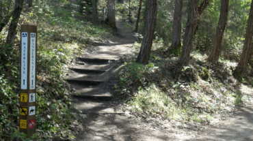
– Distance: 2.3 miles – Min/max elev.: 2215'/2739' – Elev. gain/loss: 516’/-516′ From Witzend Trailhead parking, head north out Glenview and right up Ashland ...
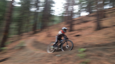
– Distance: 2.3 miles – Min/max elev.: 2215'/2739' – Elev. gain/loss: 516’/-516′ From Witzend Trailhead parking, head north out Glenview and right up Ashland ...
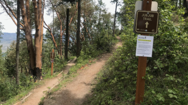
"Beware the Jubjub bird, and shunThe frumious Bandersnatch!” (from the poem Jabberwocky in Through the Looking-Glass and What Alice Found There, 1872) Description – Distance: ~ ...
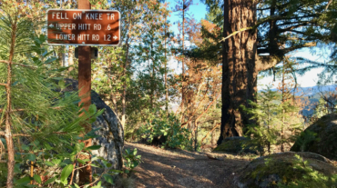
- 2.6 mile - 1000 ft of vertical Starting at Witzend parking, head south on Waterline and turn left up Bandernatch. Follow Bandersnatch all th ...
- 3.1 miles - 870 ft of vertical Start at Witzend parking and head south on Waterline and turn right very shortly onto Snark. You’ll be above Ashland Creek for awhile. Snar ...
- 5.2 miles - 1,600 ft of vertical Starting at Witzend parking, head south on Waterline and turn left up Bandernatch. Follow Bandersnatch and turn right at Red Queen (about ...
- Distance: 11.5 miles - Min/max elev.: 2189'/4041' - Elev. gain/loss: 2731'/-2731' This is mostly for runners who are looking for multiple uphill-downhill sect ...