
“the poor little juror (it was Bill, the Lizard) could not make out at all what had become of ; so, after hunting all about for it, he was obliged to write with one finger for the ...
“the poor little juror (it was Bill, the Lizard) could not make out at all what had become of ; so, after hunting all about for it, he was obliged to write with one finger for the ...
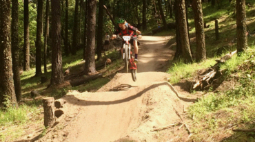
- Distance: 6.5 mi - Min/max elev.: 2215'/3546' - Elev. gain/loss: 1438'/-1438' Head north on Glenview and turn right on Ashland Loop Rd. After a short climb, c ...
– Distance: 11.6 miles – Min/max elev.: 2220'/6570' – Elev. gain/loss: 441'/-4800' From the Mt Ashland parking lot, head down the Bull Gap trail (for the first half-mile it is ...
- Distance: 12.3 miles - Min/max elev.: 2217'/6576' - Elev. gain/loss: 675'/-5035' From the Mt Ashland parking lot, head down the Bull Gap trail (for the first ...
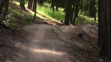
- Distance: 11.8 miles - Min/max elev.: 2217'/6569' - Elev. gain/loss: 609'/-4961' This is a mostly downhill ride with a smorgasbord of cro ...
- Distance: 12.3 miles - Min/max elev.: 2216'/6575' - Elev. gain/loss: 573'/-4929' This is a mostly downhill ride with a cross-country flair. From the Mt Ashlan ...
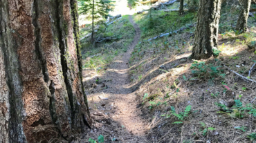
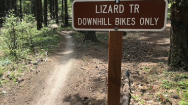
– Distance: 16.3 miles – Min/max elev.: 2216'/6575' – Elev. gain/loss: 963'/-5322' This is a combination xc country-downhill ride featuring some double-track, narrow single-tr ...
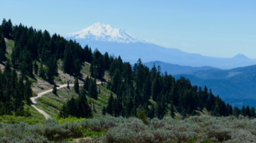
- Distance: 14.8 miles - Min/max elev.: 2217'/7016' - Elev. gain/loss: 675'/-5021' Starting at Mt Ashland, head west through the Mt Ashland parking lot and onto ...
- Distance: 15.5 miles - Min/max elev.: 2217'/7016' - Elev. gain/loss: 840'/-5200' Starting at Mt Ashland, head west through the Mt Ashland parking lot and onto ...