
- Distance: ~2.1 miles - Min/max elev.: 6570'/7488' - Elev. gain/loss: 913'/-2' Start at the U.S. Forest Service kiosk next to the Mt. Ashland parking lot. Follow the trail up ...
- Distance: ~2.1 miles - Min/max elev.: 6570'/7488' - Elev. gain/loss: 913'/-2' Start at the U.S. Forest Service kiosk next to the Mt. Ashland parking lot. Follow the trail up ...

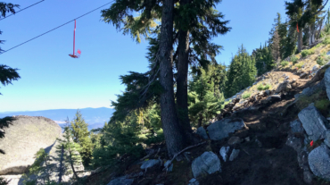
- Distance: 13.3 miles - Min/max elev.: 1905'/7489' - Elev. gain/loss: 5624'/-41' This event typically starts near City of Ashland's Development building at the bottom of Lith ...