
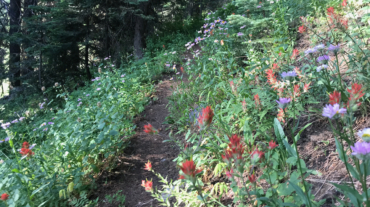
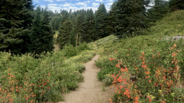
Description – Distance: ~ 2.3 miles – Min/max elev.: 4495’/4889′ – Elev. gain/loss: 560’/-360′ Click here for routes and maps with No Candies trail. The No Candies multi-use ...
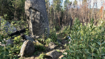
Description – Distance: ~ 2.3 miles – Min/max elev.: 4495’/4889′ – Elev. gain/loss: 560’/-360′ Click here for routes and maps with No Candies trail. The No Candies multi-use ...
- Distance: 14.5 miles - Min/max elev.: 2201'/4882' - Elev. gain/loss: 2785'/-2785' - Pedestrian and Mt Bike Starting at Fairy Ponds TH, head out FS Rd 2060 for ~1.7 miles to ...
- Distance: 15.7 miles - Min/max elev.: 2213'/4882' - Elev. gain/loss: 3070'/-3070' This is a pedestrian and mountain bike route. From Fairy P ...

- Distance: 18 miles - Min/max elev.: 2212'/4915' - Elev. gain/loss: 3115'/-3115' - Pedestrian, Mt Biking Starting at Fairy Ponds TH, head out FS Rd 2060 ...
- Distance: 20.5 miles - Min/max elev.: 2204'/4915' - Elev. gain/loss: 3689'/-3689' Starting at Fairy Ponds TH, head southwest out FS Rd 2060 for ~3.6 mil ...
- Distance: 30.1 miles - Min/max elev.: 2189'/7187' - Elev. gain/loss: 6039'/-6039' Starting at Witzend, head out Waterline, up Bandersnatch to Red Queen. At th ...
- Distance: 60.15 mi (actual is closer to 62) - Min/max elev.: 2931'/7469' - Elev. gain/loss: 11,564'/-11,564' Starting at the Mt Ashland lodge, head southwest through the ...