
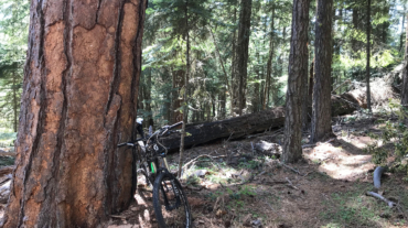
Description – Distance: ~ .5 miles – Min/max elev.: 4532’/4983′ – Elev. gain/loss: 53’/-394′ Click here for routes and maps with Potlicker trail. This multi-use trail connec ...
Description – Distance: ~ .5 miles – Min/max elev.: 4532’/4983′ – Elev. gain/loss: 53’/-394′ Click here for routes and maps with Potlicker trail. This multi-use trail connec ...

- Distance: 18 miles - Min/max elev.: 2212'/4915' - Elev. gain/loss: 3115'/-3115' - Pedestrian, Mt Biking Starting at Fairy Ponds TH, head out FS Rd 2060 ...
- Distance: 18.1 miles - Min/max elev.: 2209'/4915' - Elev. gain/loss: 3076'/-3076' - Pedestrian and Mt BikeStarting at Fairy Ponds TH, head out FS Rd 206 ...
- Distance: 20.5 miles - Min/max elev.: 2204'/4915' - Elev. gain/loss: 3689'/-3689' Starting at Fairy Ponds TH, head southwest out FS Rd 2060 for ~3.6 mil ...
- Distance: 60.15 mi (actual is closer to 62) - Min/max elev.: 2931'/7469' - Elev. gain/loss: 11,564'/-11,564' Starting at the Mt Ashland lodge, head southwest through the ...