
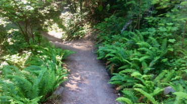
Description – Distance: ~1 miles – Min/max elev.: 3200’/3520′ – Elev. gain/loss: 230’/-400′ Click here for routes and maps with Toothpick trail. The Toothpick trail is flat ...
Description – Distance: ~1 miles – Min/max elev.: 3200’/3520′ – Elev. gain/loss: 230’/-400′ Click here for routes and maps with Toothpick trail. The Toothpick trail is flat ...
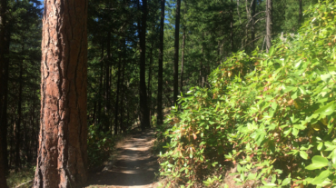
- Distance: 10.6 miles - Min/max elev.: 2217'/4375' - Elev. gain/loss: 2445'/-2445' Starting at Witzend, head out Waterline, up Bandersnatch, turn right at Red ...
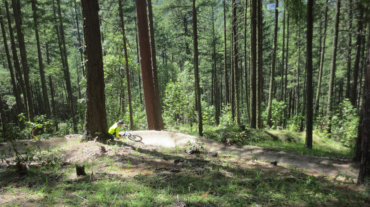
- Distance: 12.3 miles - Min/max elev.: 2217'/6576' - Elev. gain/loss: 675'/-5035' From the Mt Ashland parking lot, head down the Bull Gap trail (for the first ...
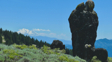
- Distance: 15.5 miles - Min/max elev.: 2217'/7016' - Elev. gain/loss: 840'/-5200' Starting at Mt Ashland, head west through the Mt Ashland parking lot and onto ...