
Description
– Distance: ~1.5 miles
– Min/max elev.: 4731’/5060′
– Elev. gain/loss: 502’/-180′
Click here for routes and maps of Upper Eastview trail.
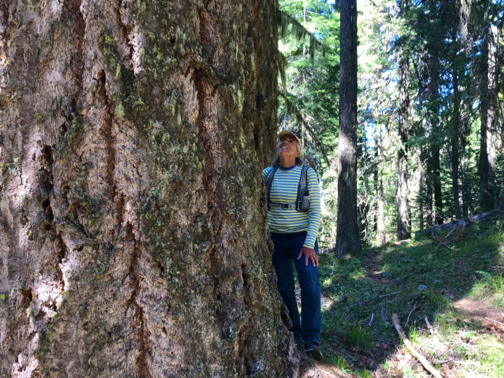
Upper Eastview is a multi-use trail that climbs from FS Road 2080 up to Rd 2060-200 (just past Missing Links). This path is narrow in parts and is virtually self-maintaining; that is bikers, hikers and runners keep the faint trail just barely visible. This trail has some enjoyable climbs and unique vistas of the Rogue Valley, Grizzly Peak and Mt Mcloughlin.
History
AWTA added this trail to the Ashland Trails Project (2015) to become a sanctioned, official trail.
Written by Torsten Heycke 04/30/2020