
- Distance: 1.1 miles - Min/max elev.: 2208'/2511' - Elev. gain/loss: 300'/-300' - Mt Bike Loop starting on a multi-use trail (Wonder) From the Fairy Pond ...
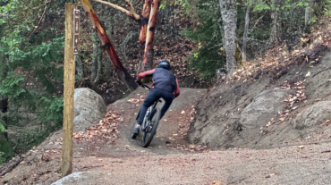
- Distance: 1.1 miles - Min/max elev.: 2208'/2511' - Elev. gain/loss: 300'/-300' - Mt Bike Loop starting on a multi-use trail (Wonder) From the Fairy Pond ...

- Distance: 2 miles - Min/max elev.: 2208'/2713' - Elev. gain/loss: 530'/-530' - Mt Bike Loop starting on a multi-use trail (Wonder) From the Fairy Ponds ...
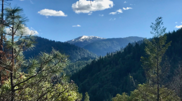
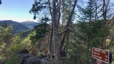
“Always be on the lookout for the presence of wonder.”E.B. White Description – Distance: ~ 2.8 miles – Min/max elev.: 2206’/3054′ – Elev. gain/loss: 1510’/-747′ Click here f ...
- Distance: 4.4 miles - Min/max elev.: 2204'/3044' - Elev. gain/loss: 871'/-871' - Pedestrian/Mt Bike (uphill-only direction on Wonder) Starting at ...
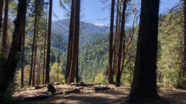
- Distance: ~8 miles - Min/max elev.: 2200'/3550' - Elev. gain/loss: 1660'/-1660' Starting from the Fairy Ponds trail head, follow Wonder 4-miles up all the way ...
- Distance: 8.2 miles - Min/max elev.: 2011'/3547' - Elev. gain/loss: 1699'/-1699 This is a pedestrian and mt bike route.From the Fairy Ponds TH, head north on ...