
Description
– Distance: ~.65 miles
– Min/max elev.: 2224’/2380′
– Elev. gain/loss: 279’/-151′
Click here for routes and maps with Waterline trail.
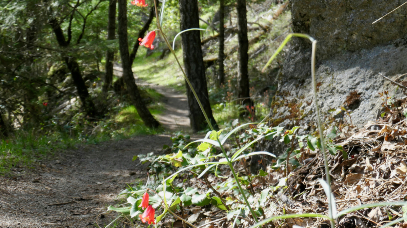
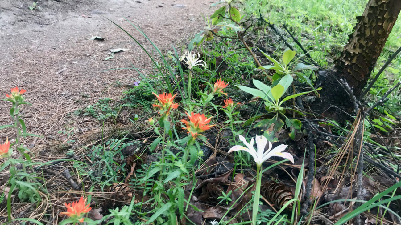
Waterline is a short section of ped-bike trail used to connect to Bandersnatch and Snark.…
Description
– Distance: ~.65 miles
– Min/max elev.: 2224’/2380′
– Elev. gain/loss: 279’/-151′
Click here for routes and maps with Waterline trail.
Waterline is a short section of ped-bike trail used to connect to Bandersnatch and Snark.…
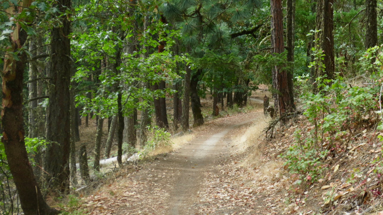
“Beware the Jabberwock, my son!
The jaws that bite, the claws that catch!
Beware the Jubjub bird, and shun
The frumious Bandersnatch!”
Description
– Distance: ~ 1.7 miles
– Min/max elev.:…
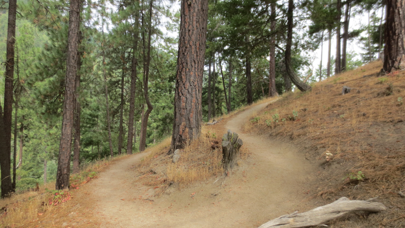
“I know who I WAS when I got up this morning, but I think I must have been changed several times since then.”
– Alice in Alice’s Adventures in Wonderland
Description
– Distance: ~ 1 mile
– Min/max elev.:…
– Distance: 2.8 miles
– Min/max elev.: 2217’/2971′
– Elev. gain/loss: 810’/-810′
Starting at Witzend parking, head south on Waterline and turn left up Bandernatch.…