
Description
– Distance: ~.65 miles
– Min/max elev.: 2224’/2380′
– Elev. gain/loss: 279’/-151′
Click here for routes and maps with Waterline trail.
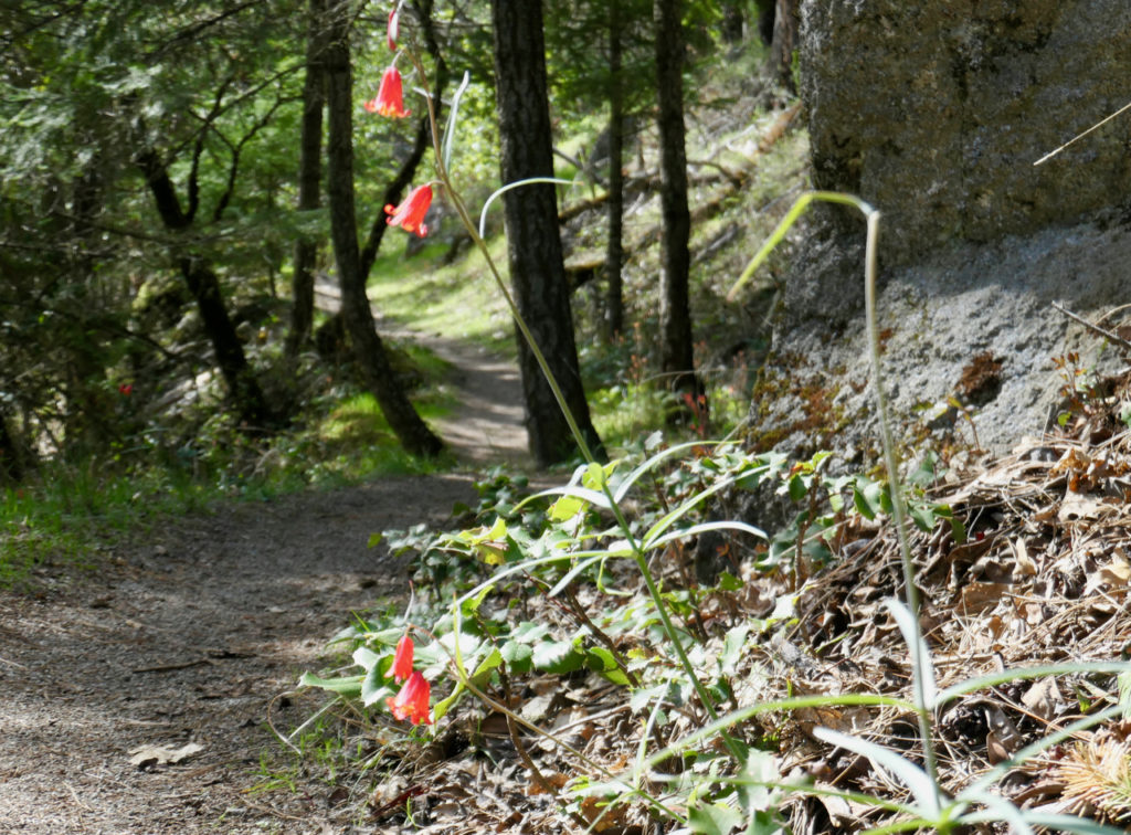
Waterline is a short section of ped-bike trail used to connect to Bandersnatch and Snark. It used to be a longer trail but the majority of it was renamed Snark when the pedestrian and bike sections were separated.
History
Waterline was, in fact, along and on top of a former waterline. The actual pipe is visible in the Snark trail tread in several sections as are old ventilation outlets. This trail has existed for many decades and therefore precedes all the trails connecting to it. The waterline pipe is no longer in use. AWTA formalized this as a trail with an approved trail application to the Ashland Forest Lands Commission in 2016.
AWTA has conducted various trailwork days on this trail including widening, garbage clean-up (three truckloads!), drainage and a long landscape underlayment.
Written by Torsten Heycke 04/28/2020, updated 10/12/2023