
Description
– Distance: .8 miles
– Min/max elev.: 3704’/4241′
– Elev. gain/loss: 664’/-147′
Click here for routes and maps with Ricketty trail.
Ricketty connects from Horn Gap Rd (near FS 2060) up to FS 2060.…
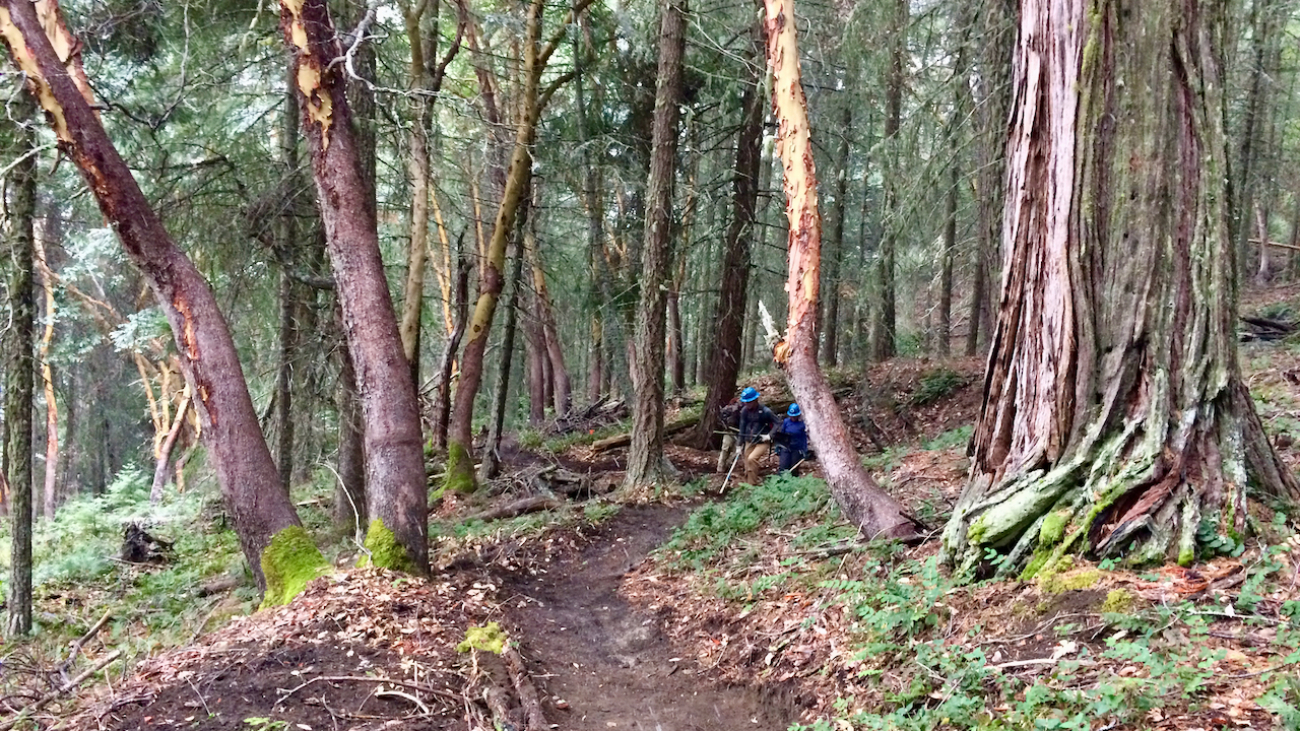
Description
– Distance: .8 miles
– Min/max elev.: 3704’/4241′
– Elev. gain/loss: 664’/-147′
Click here for routes and maps with Ricketty trail.
Ricketty connects from Horn Gap Rd (near FS 2060) up to FS 2060.…