
– Distance: 13.3 miles
– Min/max elev.: 1905’/7489′
– Elev. gain/loss: 5624’/-41′
This event typically starts near City of Ashland’s Development building at the bottom of Lithia Park near the plaza in downtown Ashland. It proceeds on pavement (Winburn Way) through and next to Lithia park, joining Granite St, which becomes a dirt road that then turns left around a small reservoir (the road is now called Glenview St.) A few hundred yards later, the route turns steeply right onto the signed Ashland Loop Rd, which starts out as dirt and then becomes pavement when it crosses Terrace St; pavement lasts for a couple hundred yards.
Near the top of this pavement section, turn right uphill and return to dirt road (still Ashland Loop Rd, aka FS 2060). 4 miles later, at Four Corners (at an aid station), the route proceeds south on FS 2080-200 up to Bull Gap trailhead (this is a large area not to be confused with Lower Bull Gap). Just before Bull Gap you reach the only, and very brief, flat/downhill section. At the Bull Gap TH, the route takes a right turn on an old roadbed up to Mt Ashland ski area. From near the Mt Ashland parking lot, the race has no precise prescribed route, though this could change (in 2020).
NOTE: Except for the climb up Mt Ashland, the rest of the route is bike-able. Runners/hikers should be alert to descending bikers on Bull Gap trail, in particular.
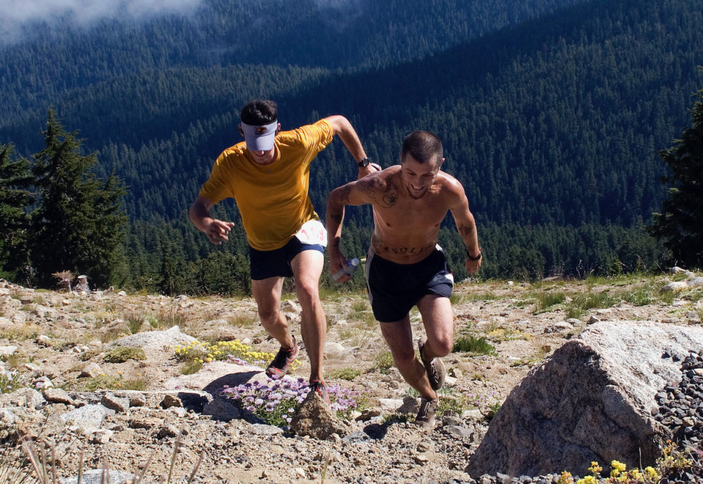
Photo by Andy Atkinson
Created by Torsten Heycke. Updated May 30, 2020.