
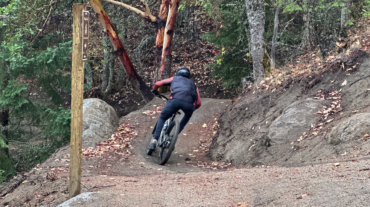
- Distance: 1.1 miles - Min/max elev.: 2208'/2511' - Elev. gain/loss: 300'/-300' - Mt Bike Loop starting on a multi-use trail (Wonder) From the Fairy Pond ...
- Distance: 1.1 miles - Min/max elev.: 2208'/2511' - Elev. gain/loss: 300'/-300' - Mt Bike Loop starting on a multi-use trail (Wonder) From the Fairy Pond ...

- Distance: 2 miles - Min/max elev.: 2208'/2713' - Elev. gain/loss: 530'/-530' - Mt Bike Loop starting on a multi-use trail (Wonder) From the Fairy Ponds ...
– Distance: 2.3 miles – Min/max elev.: 2215'/2739' – Elev. gain/loss: 516’/-516′ From Witzend Trailhead parking, head north out Glenview and right up Ashland ...
– Distance: 4 miles – Min/max elev.: 2216'/3173' – Elev. gain/loss: 940'/-940' From Witzend Trailhead parking, head north out Glenview and right up Ashland L ...
- Distance: 1.8 miles - Min/max elev.: 3074'/3407' - Elev. gain/loss: 480'/-480' From White Rabbit TH, head out White Rabbit. Turn left at the intersection with ...
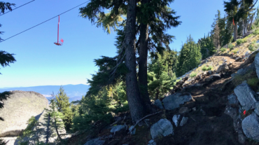
- Distance: ~2.1 miles - Min/max elev.: 6570'/7488' - Elev. gain/loss: 913'/-2' Start at the U.S. Forest Service kiosk next to the Mt. Ashland parking lot. Follow the trail up ...
- Distance: 2.1 miles - Min/max elev.: 2426'/2971' - Elev. gain/loss: 581'/-581' From the Lower Red Queen TH, head up to the intersection with BTI and Red Queen. Cross BTI ...
- Distance: 2.6 miles - Min/max elev.: 2217'/2733' - Elev. gain/loss: 641'/-641' Start at Witzend parking and head south on Waterline and turn right very shortly onto Sn ...
- 2.6 mile - 1000 ft of vertical Starting at Witzend parking, head south on Waterline and turn left up Bandernatch. Follow Bandersnatch all th ...
- Distance: 2.8 miles - Min/max elev.: 2217'/2971' - Elev. gain/loss: 810'/-810' Starting at Witzend parking, head south on Waterline and turn left up Bandernat ...
- Distance: 3.1 miles - Min/max elev.: 2762'/3359' - Elev. gain/loss: 704'/-704' From White Rabbit TH, head north on White Rabbit and then turn right onto Caterpillar trail (w ...
- 3.1 miles - 870 ft of vertical Start at Witzend parking and head south on Waterline and turn right very shortly onto Snark. You’ll be above Ashland Creek for awhile. Snar ...
- Distance: 3.2 miles - Min/max elev.: 2328'/3255' - Elev. gain/loss: 901'/-901' Description coming eventually...but the map ...
- Distance: 3.4 miles - Min/max elev.: 3175'/3852' - Elev. gain/loss: 732'/-732' This route starts and ends gently, but has a good steep climb in the middle. Start up the Whit ...