– Distance: 3.4 miles
– Min/max elev.: 3175’/3852′
– Elev. gain/loss: 732’/-732′
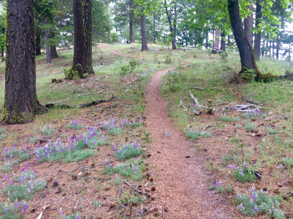
This route starts and ends gently, but has a good steep climb in the middle. Start up the White Rabbit trail and turn right at the Caterpillar trail. Follow Caterpillar up to Caterpillar crossing (where Caterpillar crosses 2060 and meets Red Queen and Jabberwocky) and continue up the Caterpillar switchbacks until reaching the sign for Lewis Loops. Shortly, take a left to begin the climb of the Gyre loop. At the top of this loop, see Mt Ashland to the south and Mt Mcloughlin to the north. The heart of the Ashland watershed and the Research Natural Area (RNA) lies to the south. Continue west to begin descending through some Ponderosas to eventually arrive at the intersection of Gyre and Gimble. Continue right (on Gyre) if you want to return to Caterpillar. Turn left at Caterpillar until reaching 2060 and turn left again on the road to return to the trailhead.
Be alert to mt bike traffic on Caterpillar and the short section of White Rabbit (should be uphill-only traffic there).
Created by Torsten Heycke. Updated May 30, 2020.

