
– Distance: 2.6 miles
– Min/max elev.: 2217’/2733′
– Elev. gain/loss: 641’/-641′
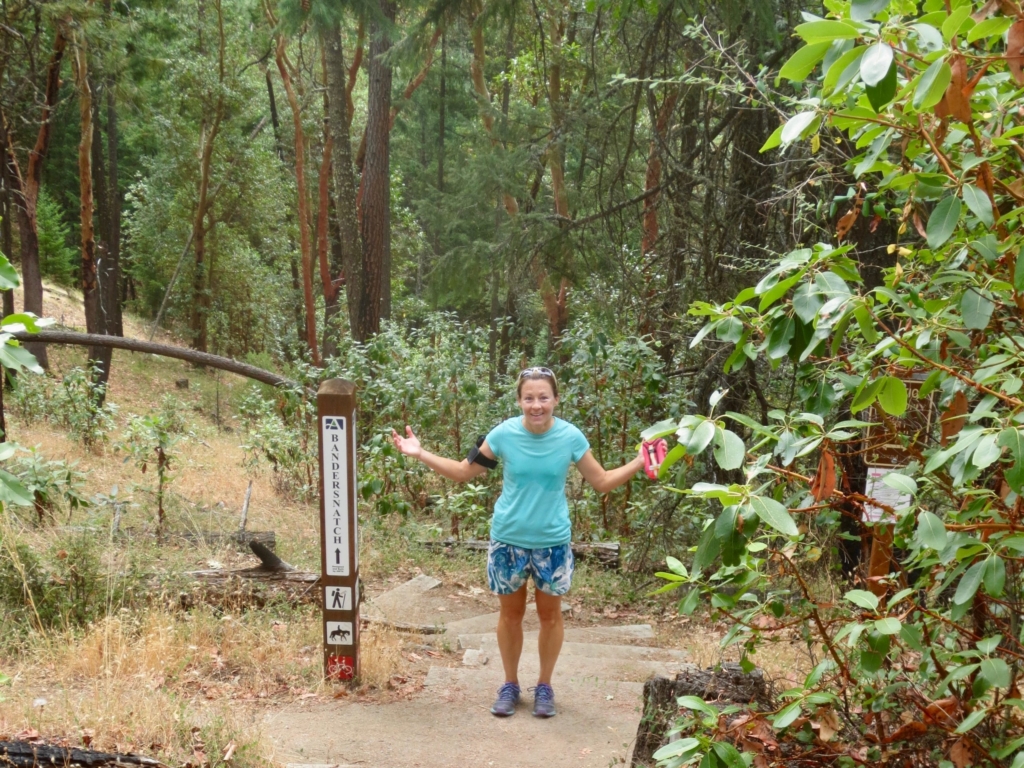
Start at Witzend parking and head south on Waterline and turn right very shortly onto Snark. You’ll be above Ashland Creek for awhile. Snark leaves the creek and then starts to climb rather steeply eventually into a shaded glen. It then turns north and crosses Jabberwocky and rolls up and down eventually intersects with Bandersnatch. Turn left on Bandersnatch and back to return down to Waterline and Witzend. There is a substantial amount of climbing and descending in this interesting single-track hike. Watch out for downhill mt bikes on Waterline (both Jabberwocky and BTI downhill bike routes finish here). The occasional, rare rider also uses Snark. Poison oak grows along the sunnier exposures of Snark, so pay attention to that as well.
Updated by Torsten Heycke. Updated October 18, 2023