
Description
– Distance: ~ 1.25 miles
– Min/max elev.: 4190’/4694′
– Elev. gain/loss: 119’/-623′
Click here for routes and maps with Horn Gap Trail.
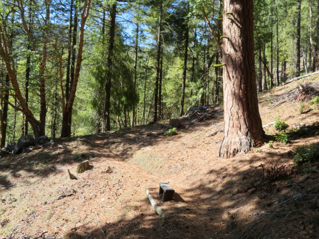
Horn Gap Trail connects on the high end from the intersection of No Candies and FS 2060 to Horn Gap Rd. This is a multi-use trail, featuring many large ponderosas and great views of Mt Ashland.
History
Historian Jeffrey M. LaLande suggests that Horn Gap Trail and Horn Gap Rd are named after an Applegate valley miner named John A. Horn. Horn appears in the Ashland Daily Tidings, so may have lived in the immediate area as well. It’s possible that Horn Creek Rd (FS Rd 2060) is also named after the same person, though oddly there seems to be no record of a Horn Creek anywhere in the watershed.
Written by Torsten Heycke 05/10/2020