
’Twas brillig, and the slithy toves
Did gyre and gimble in the wabe:
All mimsy were the borogoves,
And the mome raths outgrabe.
— In Jabberwocky, a poem in Through the Looking-Glass, and What Alice Found There
Description
– Distance: ~1.3 miles
– Min/max elev.: 3523’/3854′
– Elev. gain/loss: 515’/-515′
Click here for routes and maps with Gyre trail.
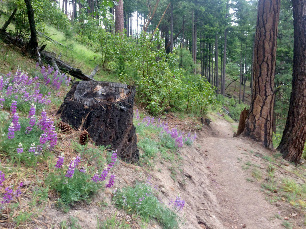
Gyre is a multi-user lollipop trail, and along with Gimble part of the Lewis Loops. Gyre forks off Caterpillar trail near its highest point. Turning south, the path climbs along a east-facing slope with several switchbacks before heading west to the top of a prominent ridge. Immediately south is edge of the 1408-acre Ashland Research Natural Area (RNA) and beyond that Mt Ashland. To the southwest is Wagner Butte and to the north is the Rogue valley and Grizzly peak and finally to the northeast is Mt Mcloughlin.
Proceeding down from the ridge and this extraordinary viewpoint, Gyre continues west and then north to meet the Gimble intersection and then east again to return back to the Caterpillar trail.
History
Gyre incorporates part of an old fire break trail that eventually became known Pete’s Punisher (named because of its steep nature further north). AWTA built the remaining section of this trail in late 2016.
Gyre and Gimble are both names that appear in the Jabberwocky poem, continuing the Lewis Carroll-themed trail names. The two names were selected also because of their similarity to things that rotate or loop (a gimbal often has rings pivoted at right angles and a gyre is a circular or spiral motion).
Written by Torsten Heycke 04/30/2020