
Description
– Distance: ~ 1.3 miles
– Min/max elev.: 3474’/4298′
– Elev. gain/loss: 99’/-913′
Click here for routes and maps with Martys.
Marty’s is, as of this writing, evolving. Technically, this is a moutain bike-pedestrian trail, but the current work on it makes it essentially a downhill bike only trail, and a very challenging one at that. The experience is currently a cluster of interweaving trails of varying difficulty (black diamond and double-black diamond signs appear at various places). Riders who are new to this trail may want to take their time to identify lines within their ability. Various routes cross one another with some requiring jumping the crossed trail. Near the top of the trail are several, large jumps requiring clearing log rounds.
History
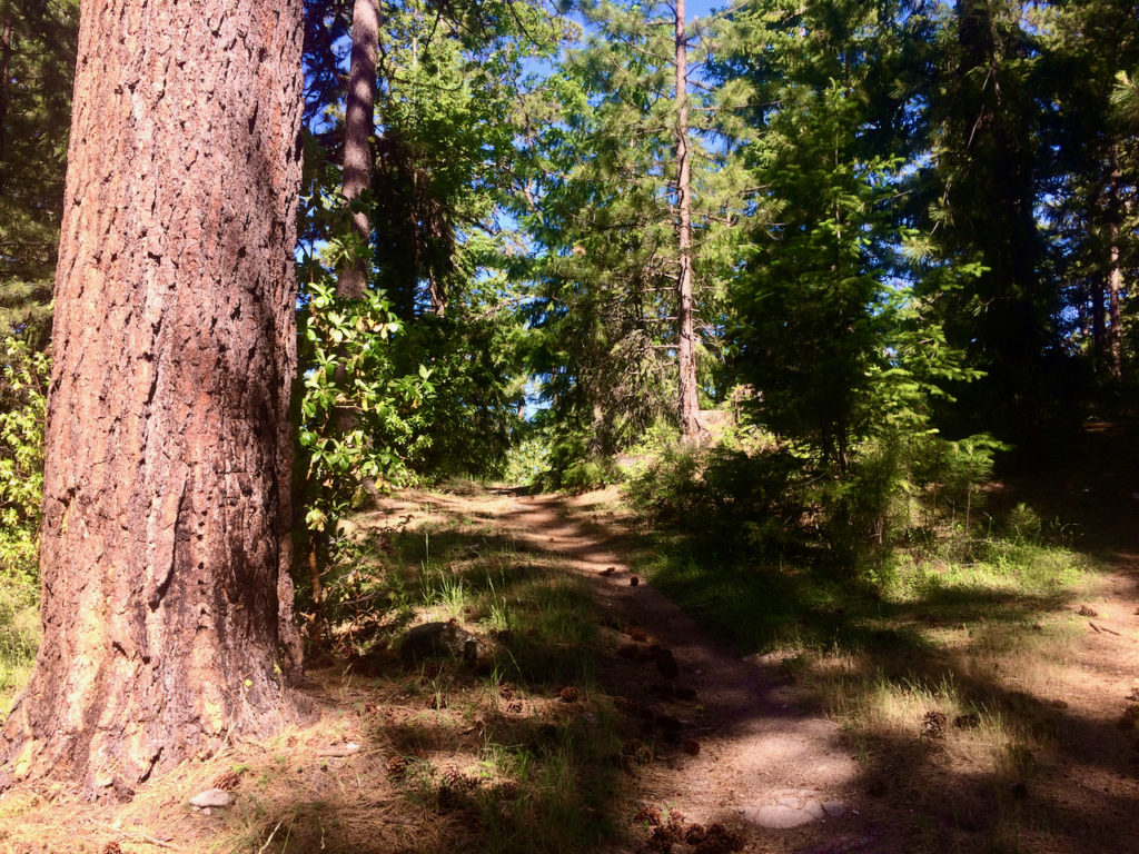
This was originally a rogue trail extended from some existing old roadbed on a sun-baked ridge full of large Ponderosas. Machine-built jumps in the 2000s prompted various actions by the Forest Service, including asking AWTA to come up with a comprehensive trails plan for the entire watershed to address the need for a manageable, sustainable system of trails that might slake the thirst for interesting trail experiences, while staving off rogue trail building. Marty’s trail was included in the subsequent trails plan.
Written by Torsten Heycke 05/12/2020