
– Distance: 11.1 miles
– Min/max elev.: 2217’/6569′
– Elev. gain/loss: 33’/-4385′
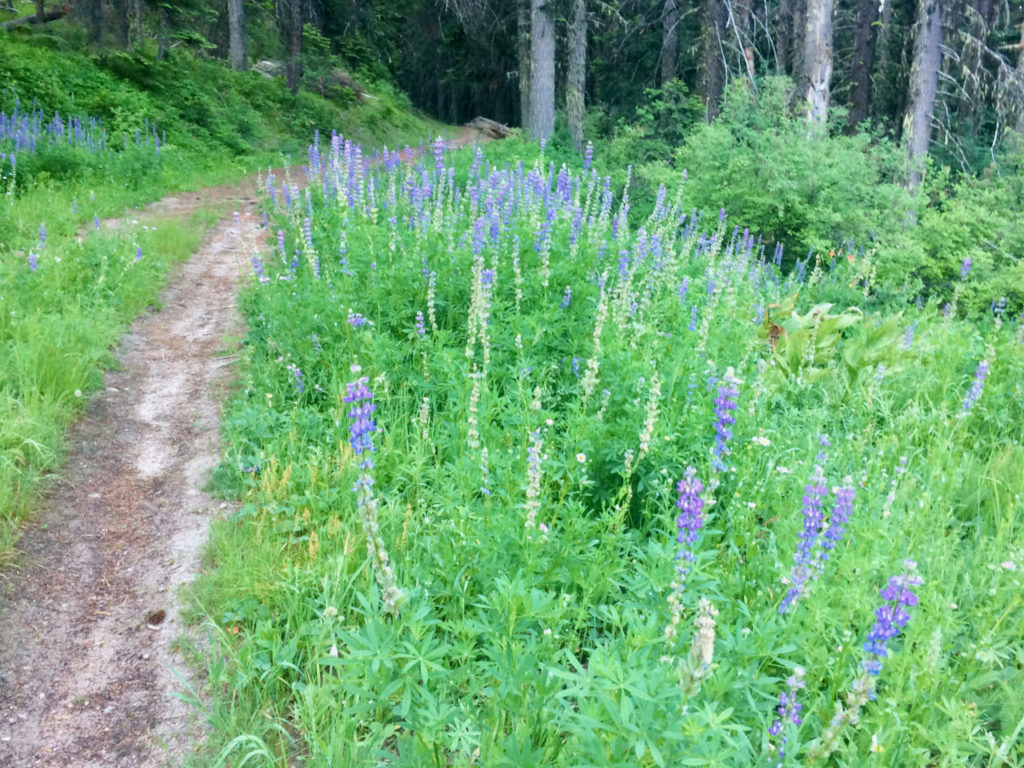
Sometimes you want to take the easy way down the mountain and this is one of those routes, probably the most direct and quickest, but also potentially full of hikers, runners and uphill bikers.
From the Mt Ashland parking lot, head down the Bull Gap trail to Bull Gap, where you will turn left onto the 2080-200 Rd (through the gate). Follow this all the way to Four Corners where you will take a soft left (heading north) down FS Road 2060…basically all the way to town. This dirt road briefly changes names to Ashland Loop Rd below the White Rabbit TH and turns to pavement for about a half-mile before continuing again as dirt down to Glenview (just above Lithia Park). Turn left to end up at the Witzend TH (or right to head more directly downtown).
Created by Torsten Heycke. Updated May 30, 2020