
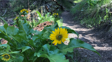
"Why, sometimes I've believed as many as six impossible things before breakfast."- Red Queen in Through the Looking-Glass and What Alice Found There, 1872 Description – Distanc ...
"Why, sometimes I've believed as many as six impossible things before breakfast."- Red Queen in Through the Looking-Glass and What Alice Found There, 1872 Description – Distanc ...
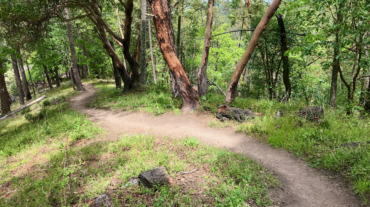
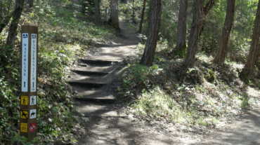
- Distance: 2.1 miles - Min/max elev.: 2426'/2971' - Elev. gain/loss: 581'/-581' From the Lower Red Queen TH, head up to the intersection with BTI and Red Queen. Cross BTI ...
- 2.6 mile - 1000 ft of vertical Starting at Witzend parking, head south on Waterline and turn left up Bandernatch. Follow Bandersnatch all th ...
- Distance: 2.8 miles - Min/max elev.: 2217'/2971' - Elev. gain/loss: 810'/-810' Starting at Witzend parking, head south on Waterline and turn left up Bandernat ...
- 3.1 miles - 870 ft of vertical Start at Witzend parking and head south on Waterline and turn right very shortly onto Snark. You’ll be above Ashland Creek for awhile. Snar ...
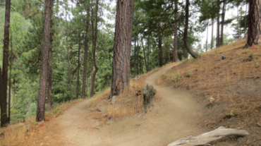
- 5.2 miles - 1,600 ft of vertical Starting at Witzend parking, head south on Waterline and turn left up Bandernatch. Follow Bandersnatch and turn right at Red Queen (about ...
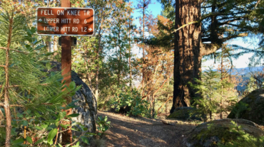
- Distance: 11.5 miles - Min/max elev.: 2189'/4041' - Elev. gain/loss: 2731'/-2731' This is mostly for runners who are looking for multiple uphill-downhill sect ...

- Distance: 14.6 mi - Min/max elev.: 2189'/4041' - Elev. gain/loss: 3142'/-3142' Starting at Witzend TH, head south on Glenview and then left at Granite St to join FS Rd 2060 ...