
Description
– Distance: ~2.5 miles
– Min/max elev.: 5509’/6578′
– Elev. gain/loss: 1116’/-47′
Click here for routes and maps with Bull Gap trail.
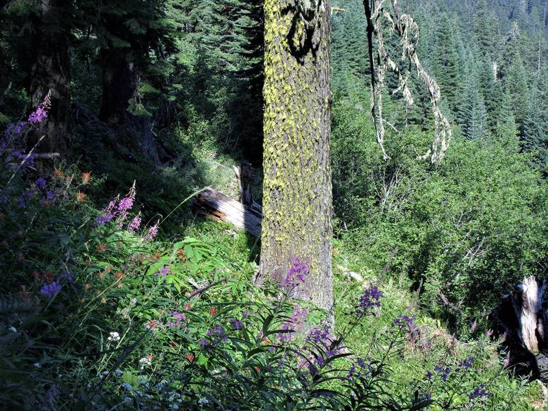
Bull Gap trail is a multi-use double-track path from Bull Gap (intersection of FS 2080 and FS 2080-200) to the Mt Ashland Ski Area. Although originally a road (see below), the route is narrow in places and quite rocky. The route affords good views of Wagner Butte and the Rogue Valley. A year-round spring is available for cooling off. Bull Gap trail is frequently used by downhill mountain bikers.
History
The following is from the RRSNF website: “From the mid 1930s to early 1960s the route of the Bull Gap Trail was part of the old “Mount Ashland Loop Road.” Built by Civilian Conservation Corps (CCC), it was the only route to Mount Ashland from town. There was once a picnic area and fountain (abandoned ca. 1971) at the site of the present trailhead.
Written by Torsten Heycke 04/29/2020