
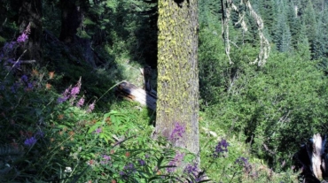
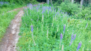
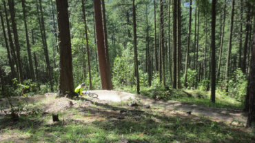
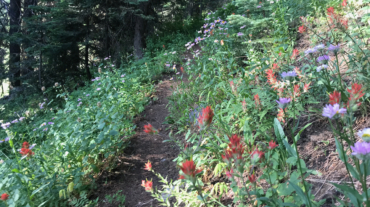
Description – Distance: ~2.5 miles – Min/max elev.: 5509’/6578′ – Elev. gain/loss: 1116’/-47′ Click here for routes and maps with Bull Gap trail. Bull Gap trail is a multi-use ...
Description – Distance: ~2.5 miles – Min/max elev.: 5509’/6578′ – Elev. gain/loss: 1116’/-47′ Click here for routes and maps with Bull Gap trail. Bull Gap trail is a multi-use ...
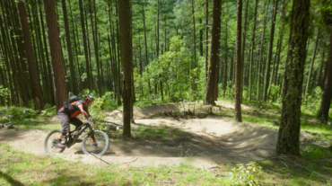
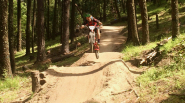
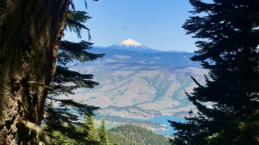
Access to Mt Ashland from Ashland is a mere 40-minutes, but the number of routes back to town are numerous with a vertical drop ranging from 4,000 to 5,000+ feet. Here are just si ...
– Distance: 11.1 miles – Min/max elev.: 2217’/6569′ – Elev. gain/loss: 33’/-4385′ Sometimes you want to take the easy way down the mountain ...
– Distance: 11.6 miles – Min/max elev.: 2220'/6570' – Elev. gain/loss: 441'/-4800' From the Mt Ashland parking lot, head down the Bull Gap trail (for the first half-mile it is ...
- Distance: 12.3 miles - Min/max elev.: 2217'/6576' - Elev. gain/loss: 675'/-5035' From the Mt Ashland parking lot, head down the Bull Gap trail (for the first ...
- Distance: 11.8 miles - Min/max elev.: 2217'/6569' - Elev. gain/loss: 609'/-4961' This is a mostly downhill ride with a smorgasbord of cro ...
- Distance: 12.3 miles - Min/max elev.: 2216'/6575' - Elev. gain/loss: 573'/-4929' This is a mostly downhill ride with a cross-country flair. From the Mt Ashlan ...
– Distance: 16.3 miles – Min/max elev.: 2216'/6575' – Elev. gain/loss: 963'/-5322' This is a combination xc country-downhill ride featuring some double-track, narrow single-tr ...
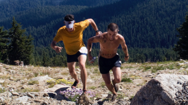
- Distance: 13.3 miles - Min/max elev.: 1905'/7489' - Elev. gain/loss: 5624'/-41' This event typically starts near City of Ashland's Development building at the bottom of Lith ...
– Distance: 17.4 miles – Min/max elev.: 2217’/6569′ – Elev. gain/loss: 662’/-5019′ Sometimes you don't want the challenge of unrelenting si ...
- Distance: 23.9 miles - Min/max elev.: 2215'/5848' - Elev. gain/loss: 4270'/-4270' Starting at Witzend, head out Waterline, up Bandersnatch, turn right at Red Queen. At the t ...
- Distance: 30.1 miles - Min/max elev.: 2189'/7187' - Elev. gain/loss: 6039'/-6039' Starting at Witzend, head out Waterline, up Bandersnatch to Red Queen. At th ...
- Distance: 30 miles - Min/max elev.: 4035'/7187' - Elev. gain/loss: 4345'/-4345' This loop could be started at Four Corners, Eastview TH, BullGap, Mt Ashland, or Grouse Gap. ...