
– Distance: 49.1 miles (actual miles are closer to 50)
– Min/max elev.: 4052’/7489′
– Elev. gain/loss: 8370’/-8370′
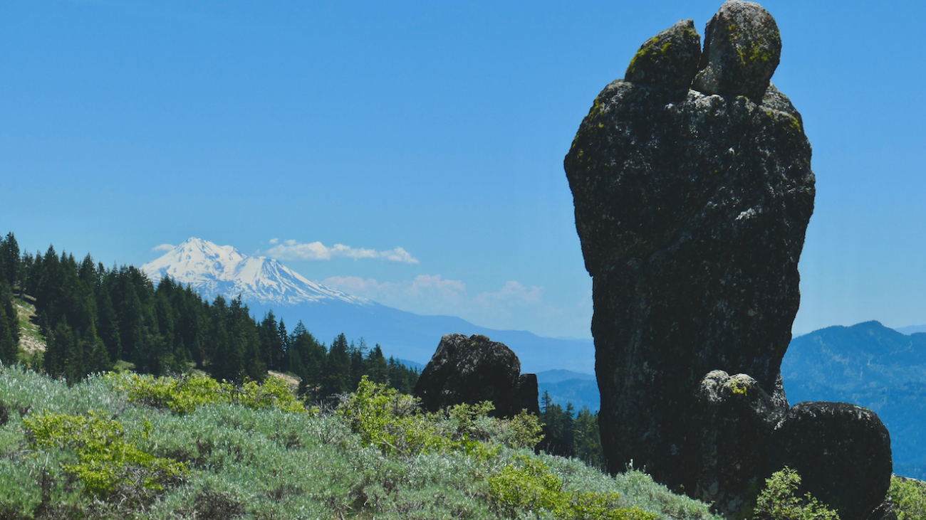
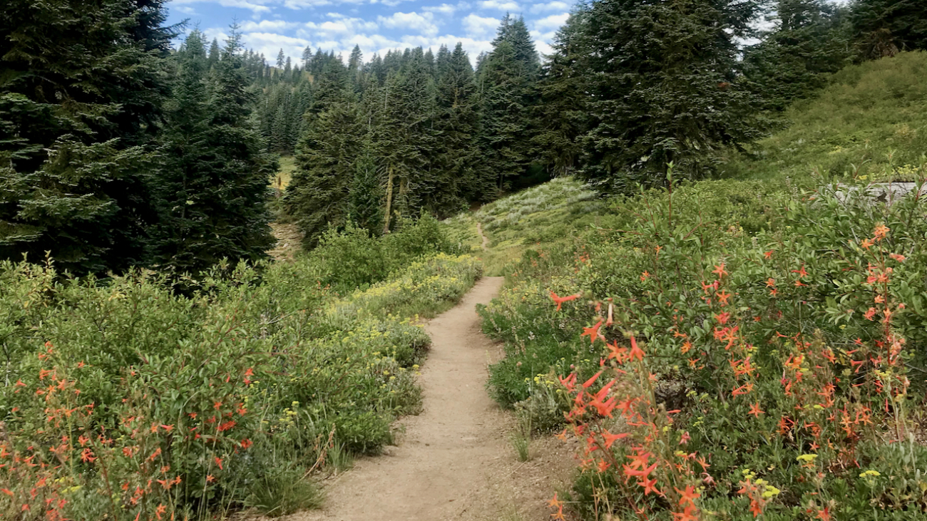
Starting at the Mt Ashland lodge, head southwest through the parking lots to Road 20 briefly before turning left on FS 40S15.…
– Distance: 49.1 miles (actual miles are closer to 50)
– Min/max elev.: 4052’/7489′
– Elev. gain/loss: 8370’/-8370′
Starting at the Mt Ashland lodge, head southwest through the parking lots to Road 20 briefly before turning left on FS 40S15.…
– Distance: 60.15 mi (actual is closer to 62)
– Min/max elev.: 2931’/7469′
– Elev. gain/loss: 11,564’/-11,564′
Starting at the Mt Ashland lodge, head southwest through the parking lots to Road 20 briefly, before veering left on FS 40S15.…
– Distance: 15.1 miles
– Min/max elev.: 1907’/6574′
– Elev. gain/loss: 4713’/-46′
This is the usual course for the Mt Ashland Hillclimb mt bike race.…