
– 7.2 miles
– 2,200 of vertical
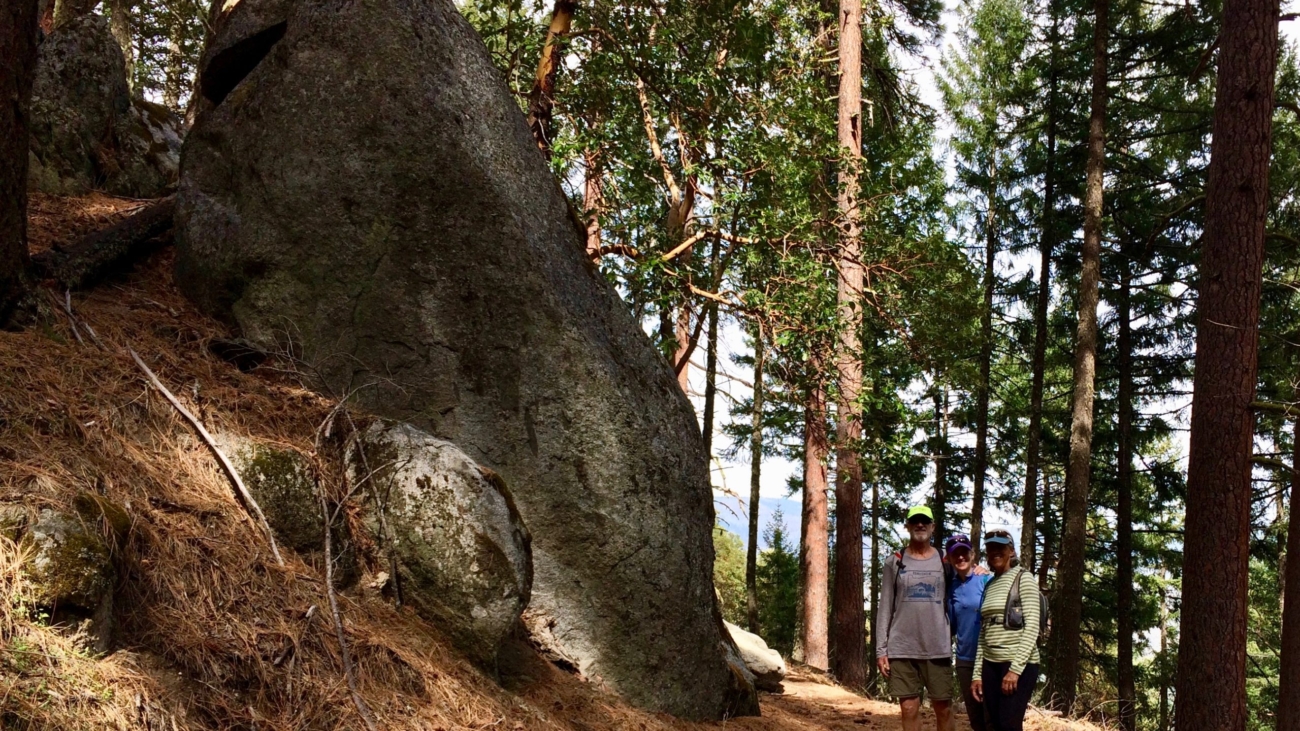
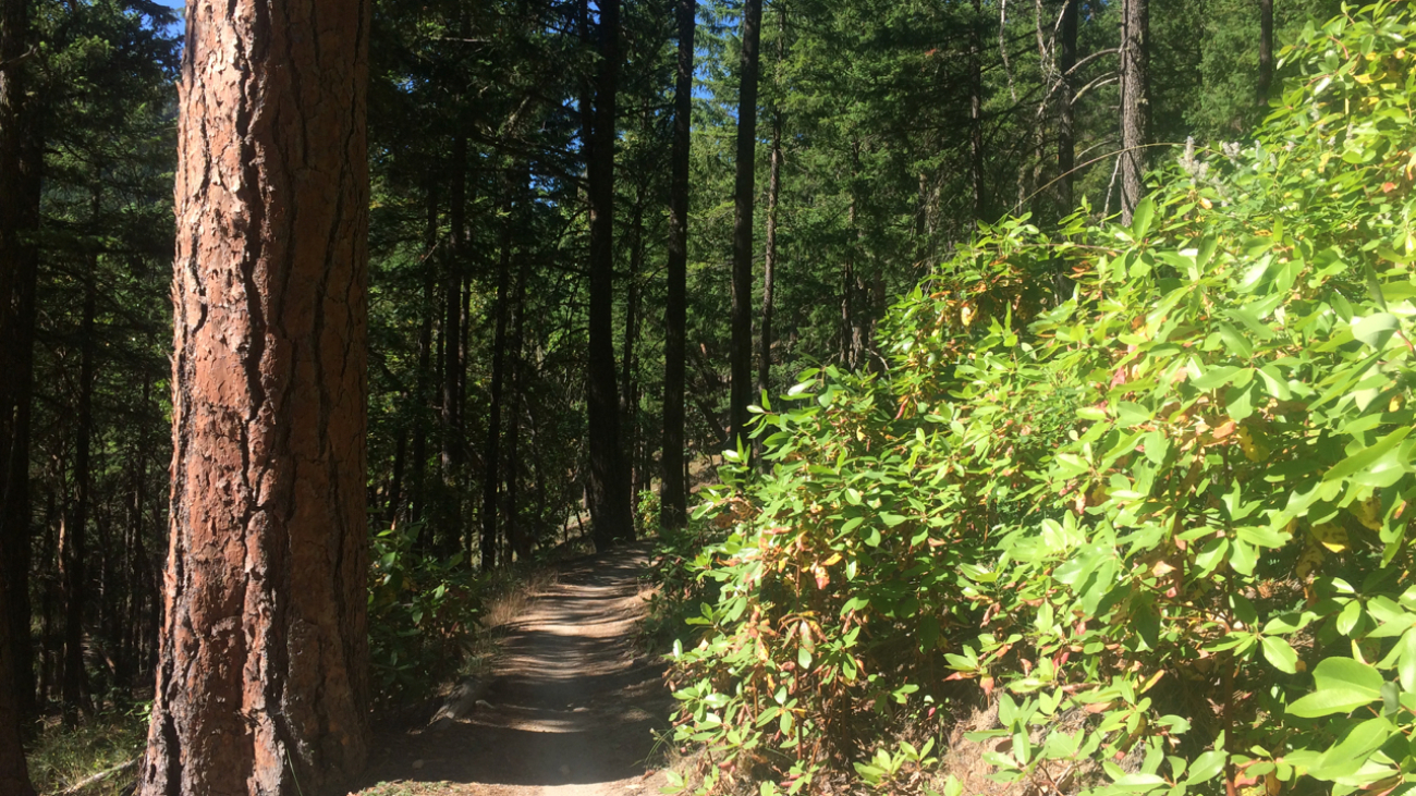
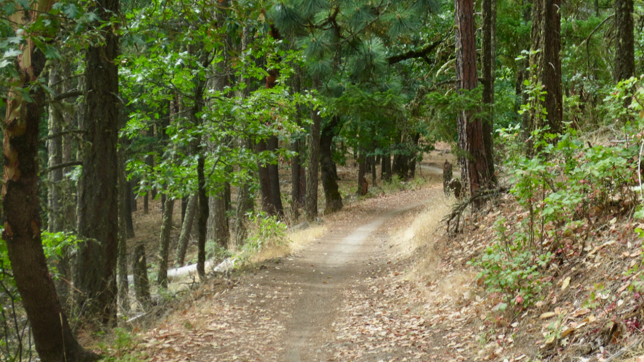
Start at the Fairy Pond TH parking. Head out FS Rd 2060 for ~1.7 miles to Wonder.…
– 7.2 miles
– 2,200 of vertical
Start at the Fairy Pond TH parking. Head out FS Rd 2060 for ~1.7 miles to Wonder.…
– Distance: ~8 miles
– Min/max elev.: 2200’/3550′
– Elev. gain/loss: 1660’/-1660′
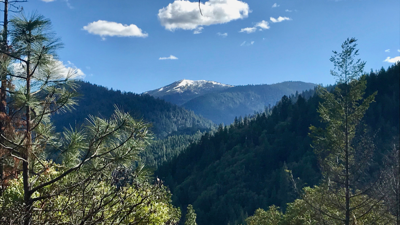
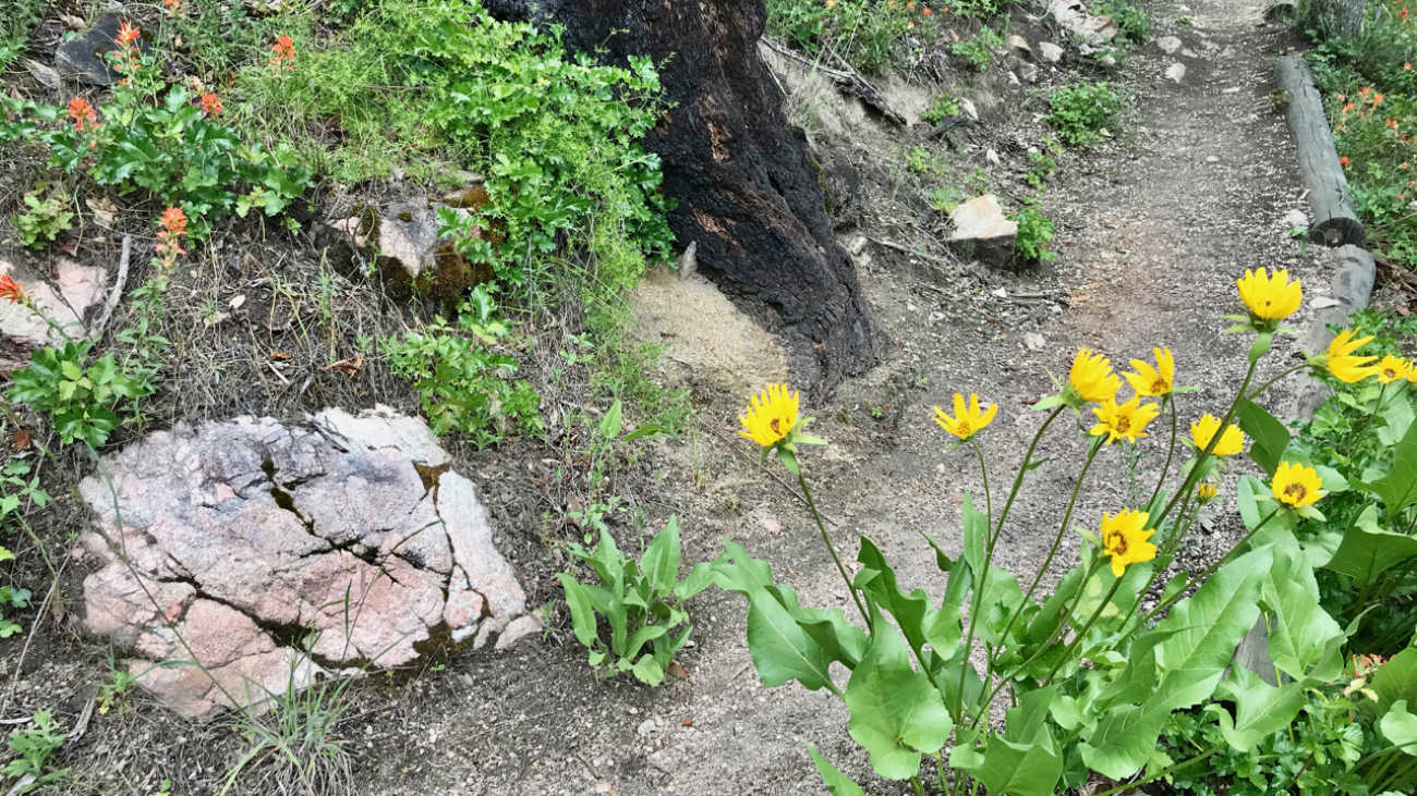
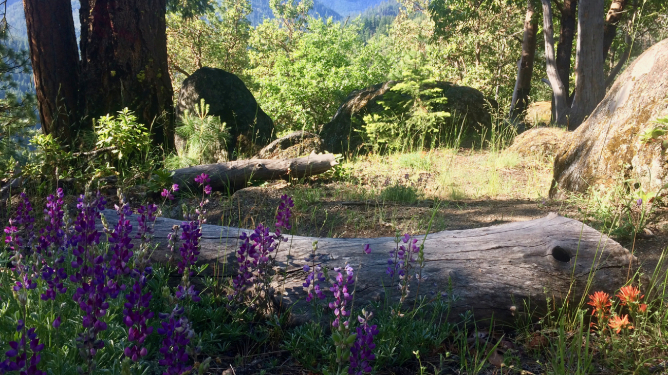
Starting from the Fairy Ponds trail head, follow Wonder 4-miles up all the way to the Lunch Rocks at the intersection with Fell on Knee and then 4-miles back down.…
– Distance: 8.2 miles
– Min/max elev.: 2011’/3547′
– Elev. gain/loss: 1699’/-1699
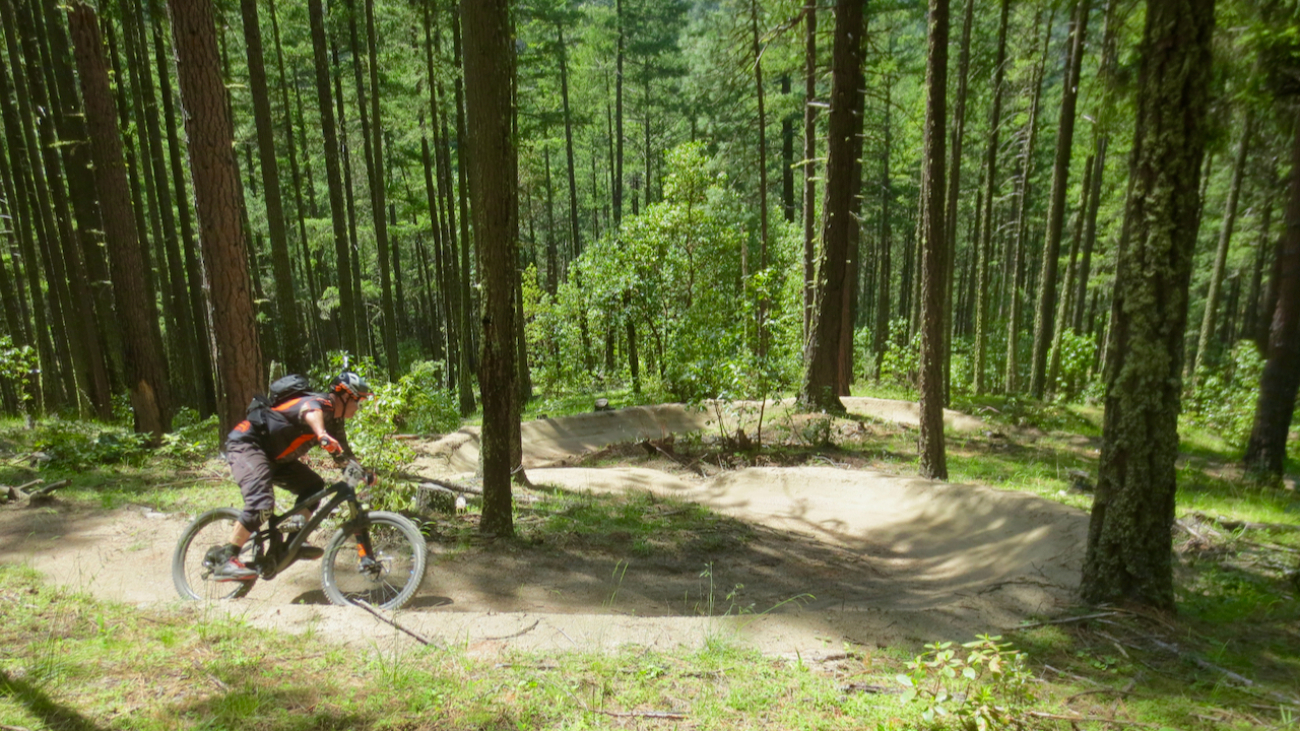
This is a pedestrian and mt bike route.
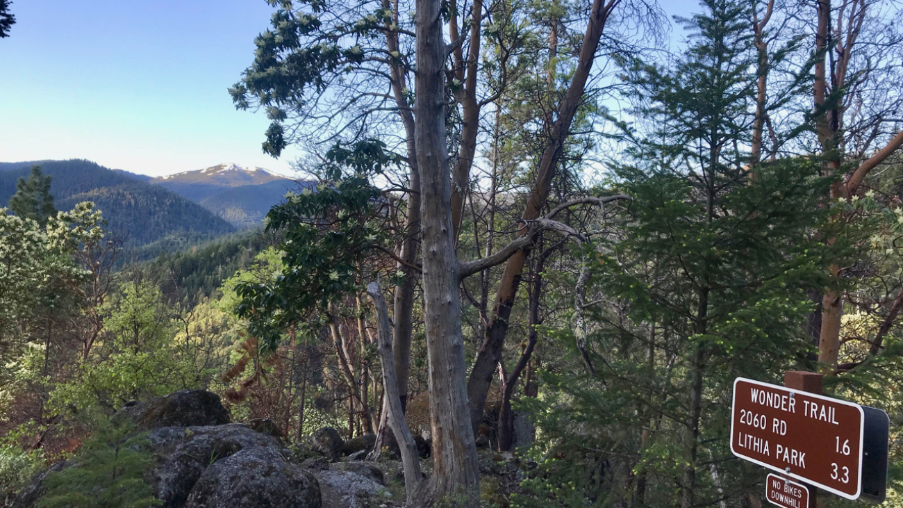
From the Fairy Ponds TH, head north on Wonder around the quarry and up to meet…more Wonder.…
– Distance: 8.5 miles
– Min/max elev.: 6515’/7186′
– Elev. gain/loss: 1023’/-1023′
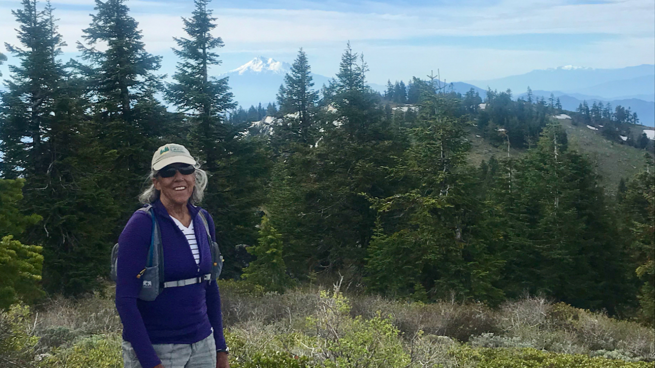
Starting at Mt Ashland, head west through the Mt Ashland parking lot and onto FS Road 20.…
– Distance: 8.9 miles
– Min/max elev.: 2217’/3407′
– Elev. gain/loss: 2300’/-2300′
Starting at Witzend, head out Waterline, up Bandersnatch, turn right at Red Queen.…
– Distance: 9.1 miles
– Min/max elev.: 2216’/3852′
– Elev. gain/loss: 2038’/-2038′
Starting at Witzend TH, head out Waterline, up Bandersnatch, turn right at Red Queen.…
– Distance: 9.4 miles
– Min/max elev.: 6519’/7187′
– Elev. gain/loss: 2381’/-2381′
Head north from the Split Rock TH and climb the occasionally faint and narrow trail to McDonald Peak.…
– Distance: 9.6 miles
– Min/max elev.: 2011’/4041′
– Elev. gain/loss: 2128’/-2128′
– Pedestrian and Mt Bike
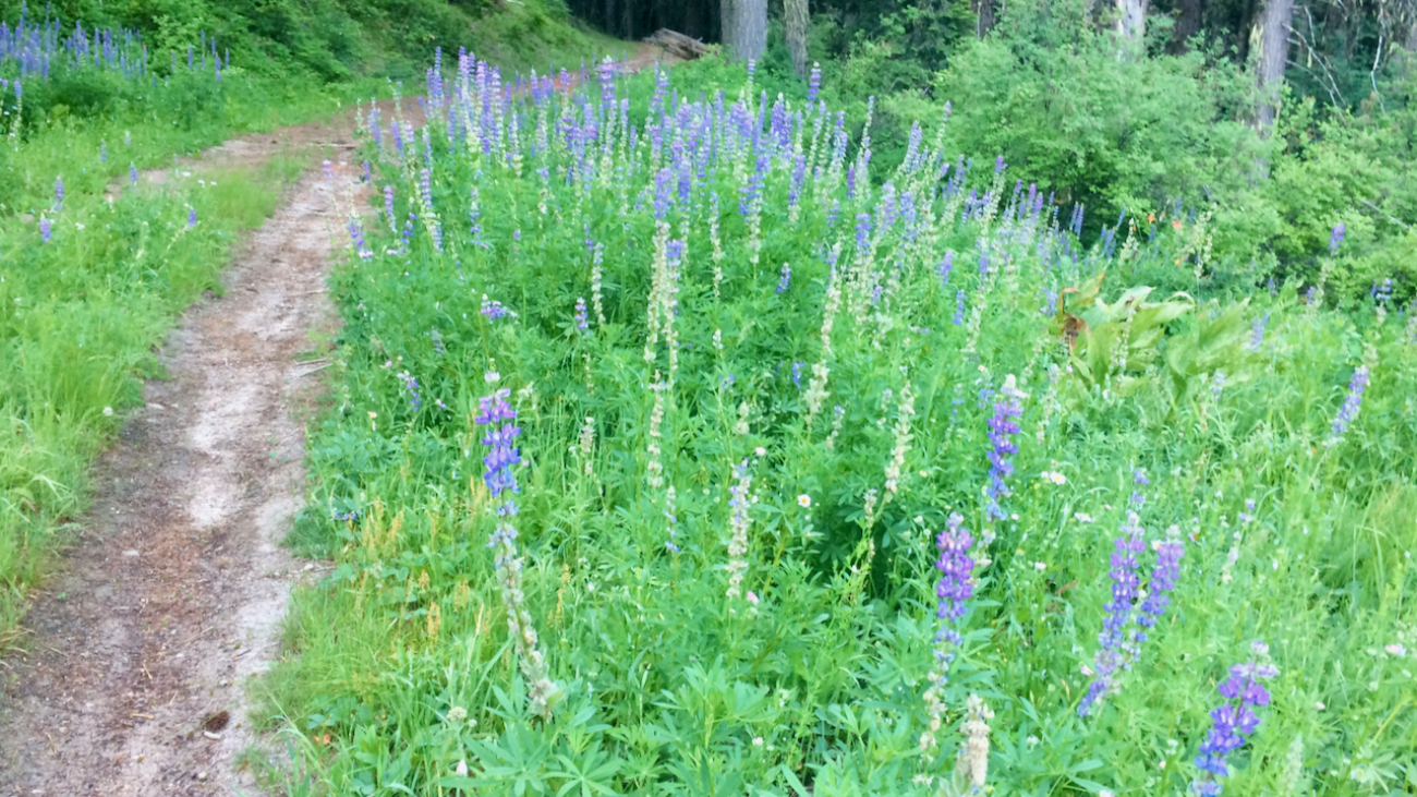
Starting at Fairy Ponds TH, head out FS Rd 2060 for ~4.9 miles.…
– Distance: 10.6 miles
– Min/max elev.: 2217’/4375′
– Elev. gain/loss: 2445’/-2445′
Starting at Witzend, head out Waterline, up Bandersnatch, turn right at Red Queen.…
– Distance: 10.8 miles
– Min/max elev.: 2011’/4252′
– Elev. gain/loss: 2423’/-2423′
– Pedestrian and Mt Bike
From the Fairy Ponds TH, head south out FS Rd 2060 for ~3.6 miles.…
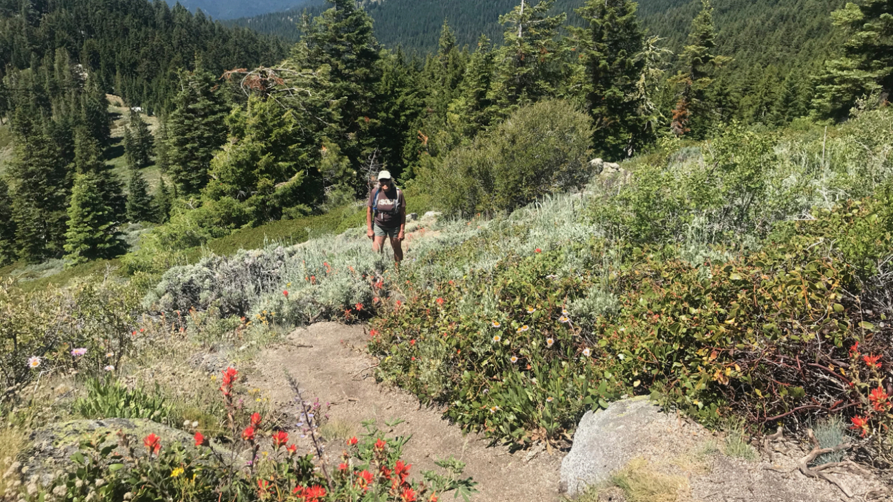
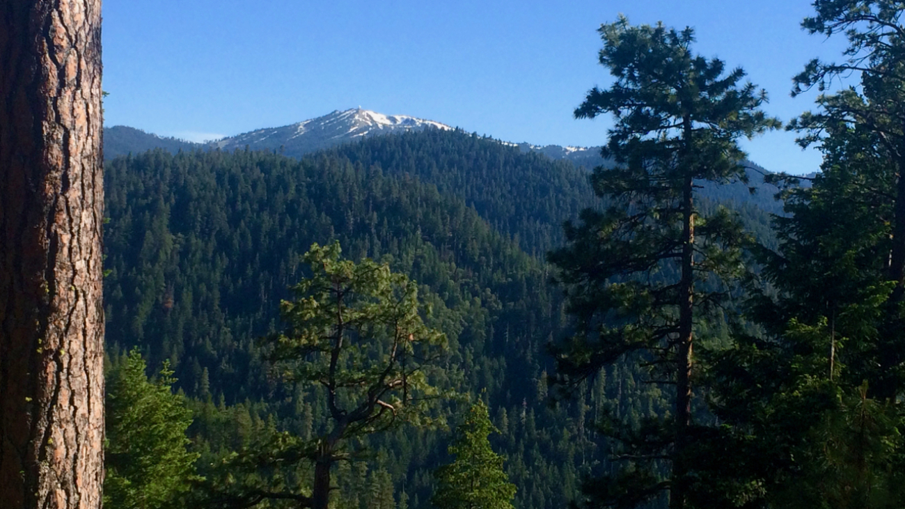
Access to Mt Ashland from Ashland is a mere 40-minutes, but the number of routes back to town are numerous with a vertical drop ranging from 4,000 to 5,000+ feet.…
– Distance: 11.1 miles
– Min/max elev.: 2217’/6569′
– Elev. gain/loss: 33’/-4385′
Sometimes you want to take the easy way down the mountain and this is one of those routes, probably the most direct and quickest, but also potentially full of hikers, runners and uphill bikers.…
– Distance: 11.6 miles
– Min/max elev.: 2220’/6570′
– Elev. gain/loss: 441’/-4800′
From the Mt Ashland parking lot, head down the Bull Gap trail (for the first half-mile it is double-track, then single-track).…
– Distance: 12.3 miles
– Min/max elev.: 2217’/6576′
– Elev. gain/loss: 675’/-5035′
From the Mt Ashland parking lot, head down the Bull Gap trail (for the first half-mile it is double-track, then single-track).…
– Distance: 11.8 miles
– Min/max elev.: 2217’/6569′
– Elev. gain/loss: 609’/-4961′
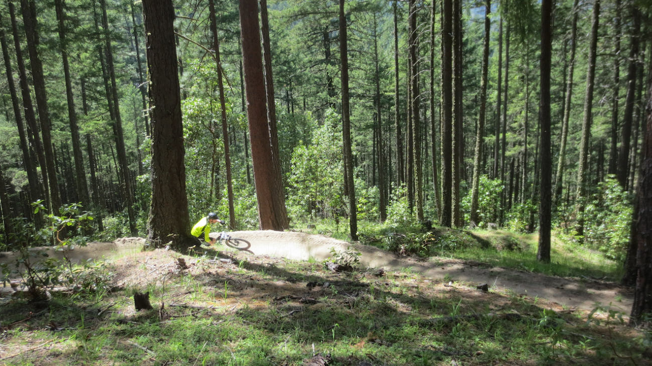
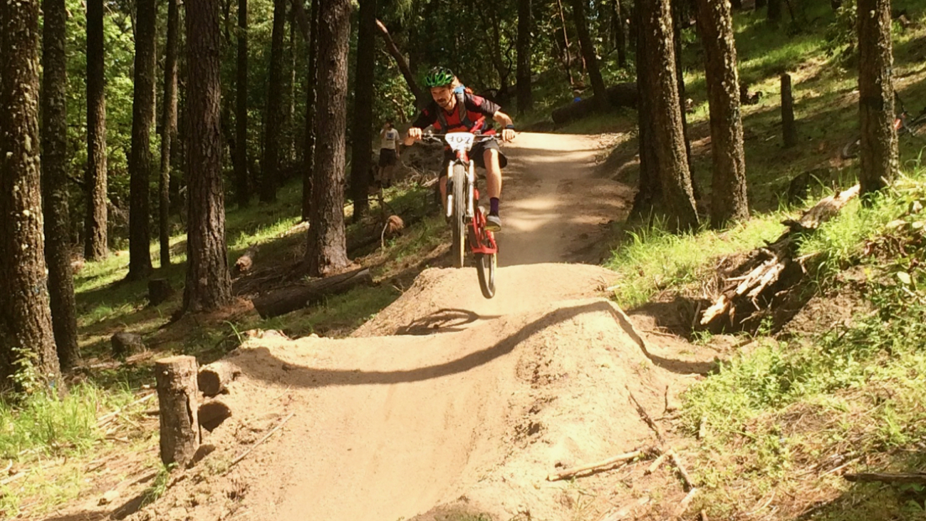
This is a mostly downhill ride with a smorgasbord of cross-country riding, technical and steep, and some flowy and bermy.…
– Distance: 11.2 miles
– Min/max elev.: 2215’/6577′
– Elev. gain/loss: 120’/-4482′
This is a great training run for WSER and other ultrarunning events. Catch a mt bike shuttle up, and run down.…