
– Distance: ~2.1 miles
– Min/max elev.: 6570’/7488′
– Elev. gain/loss: 913’/-2′
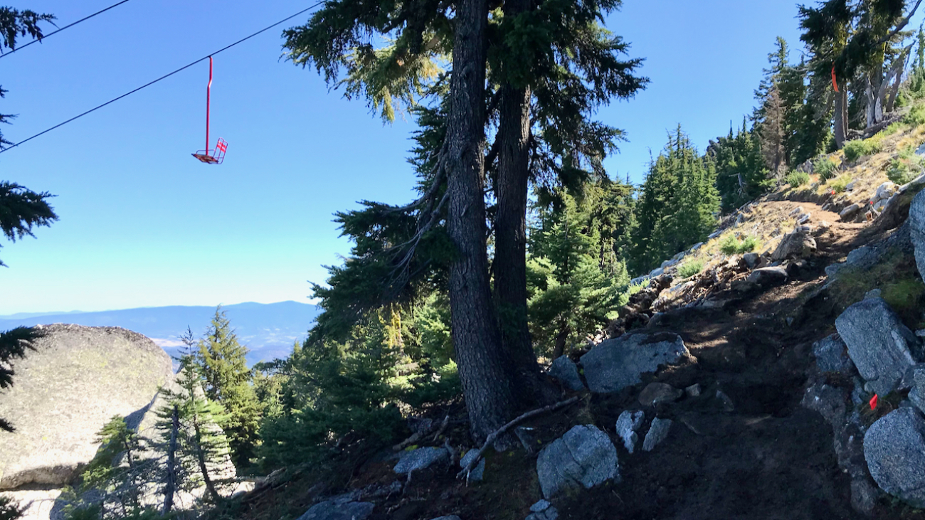
Start at the U.S. Forest Service kiosk next to the Mt. Ashland parking lot.…
– Distance: ~2.1 miles
– Min/max elev.: 6570’/7488′
– Elev. gain/loss: 913’/-2′
Start at the U.S. Forest Service kiosk next to the Mt. Ashland parking lot.…
– Distance: 2.1 miles
– Min/max elev.: 2426’/2971′
– Elev. gain/loss: 581’/-581′
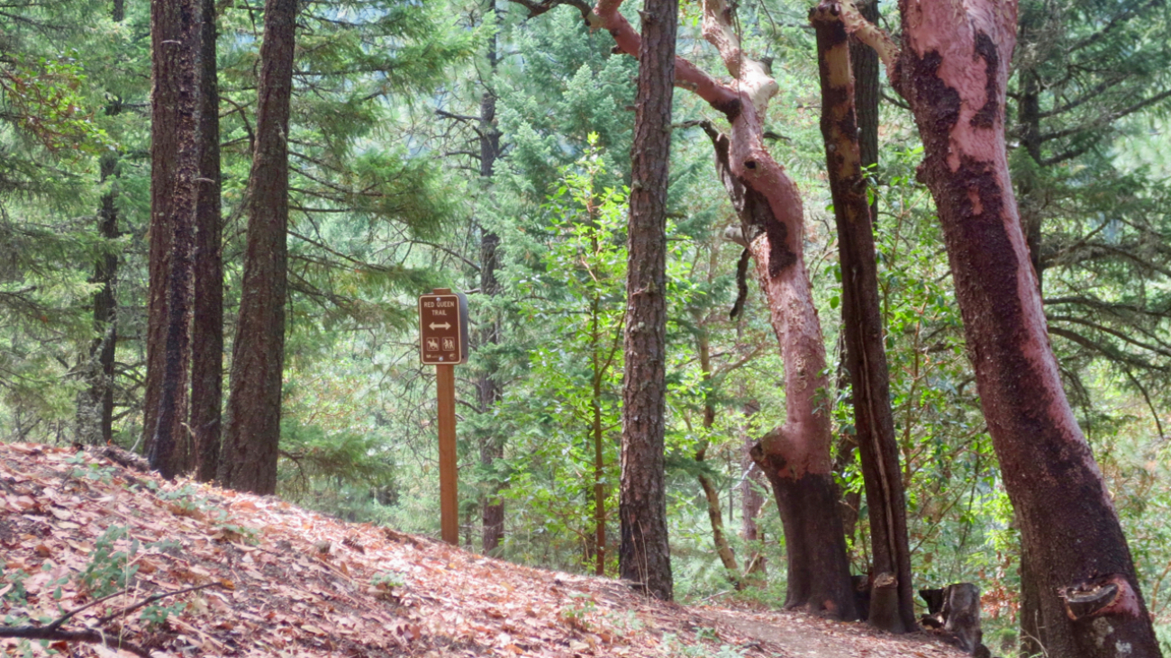
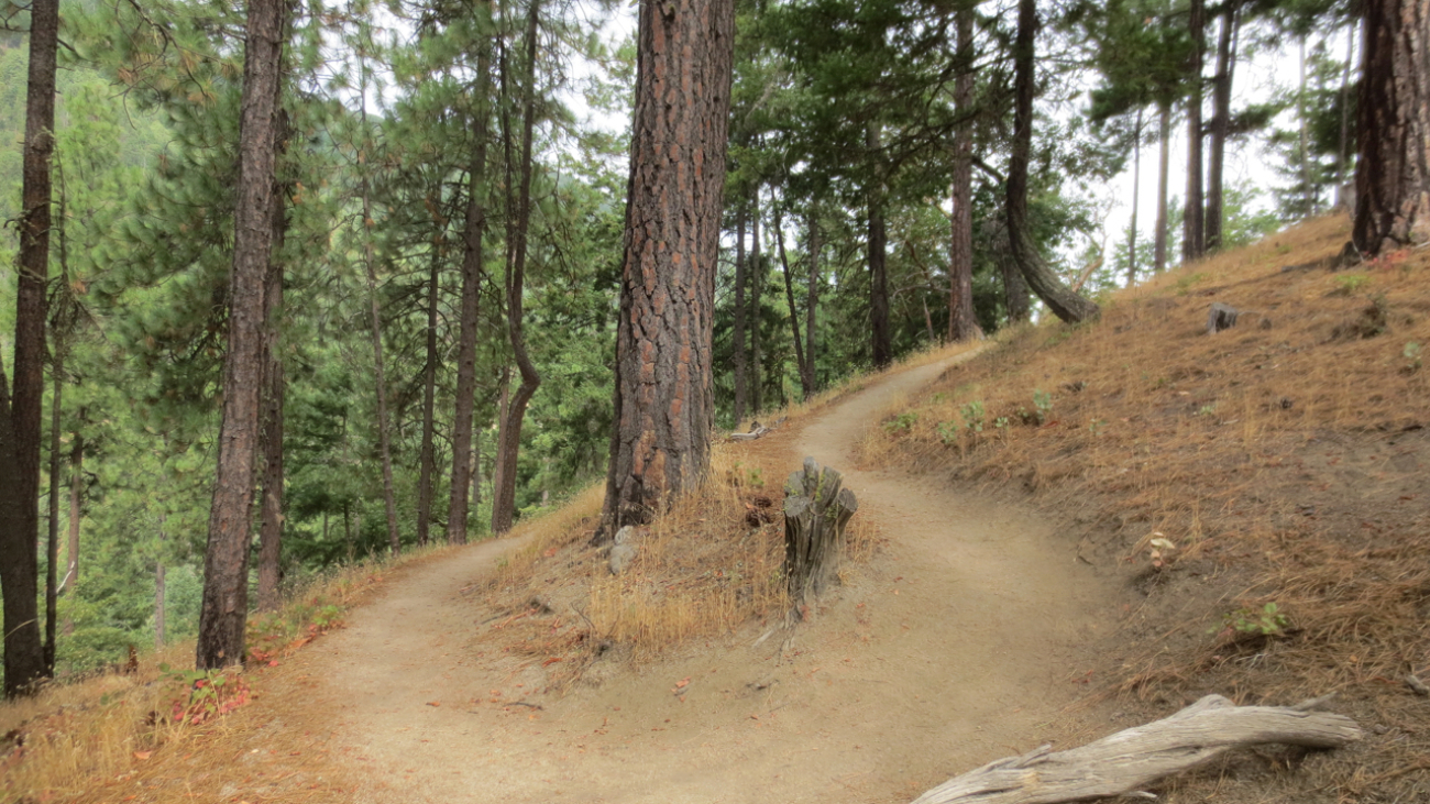
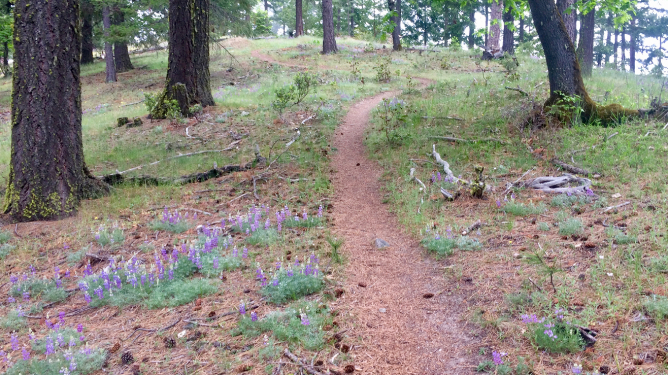
From the Lower Red Queen TH, head up to the intersection with BTI and Red Queen.…
– Distance: 2.6 miles
– Min/max elev.: 2217’/2733′
– Elev. gain/loss: 641’/-641′
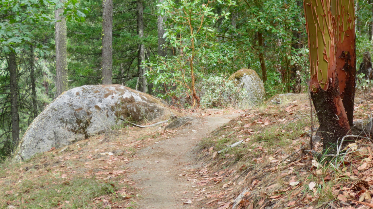
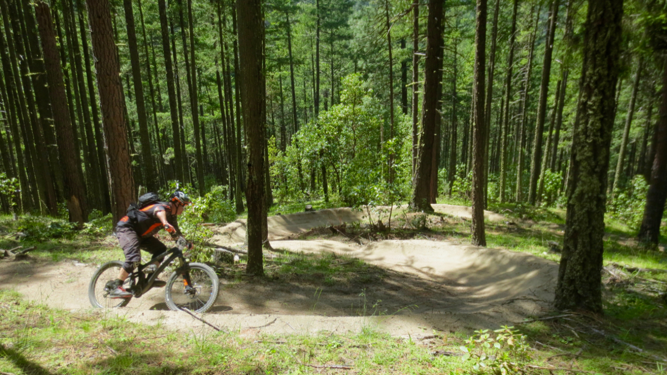
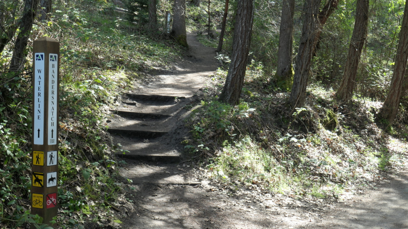
Start at Witzend parking and head south on Waterline and turn right very shortly onto Snark.…
– 2.6 mile
– 1000 ft of vertical
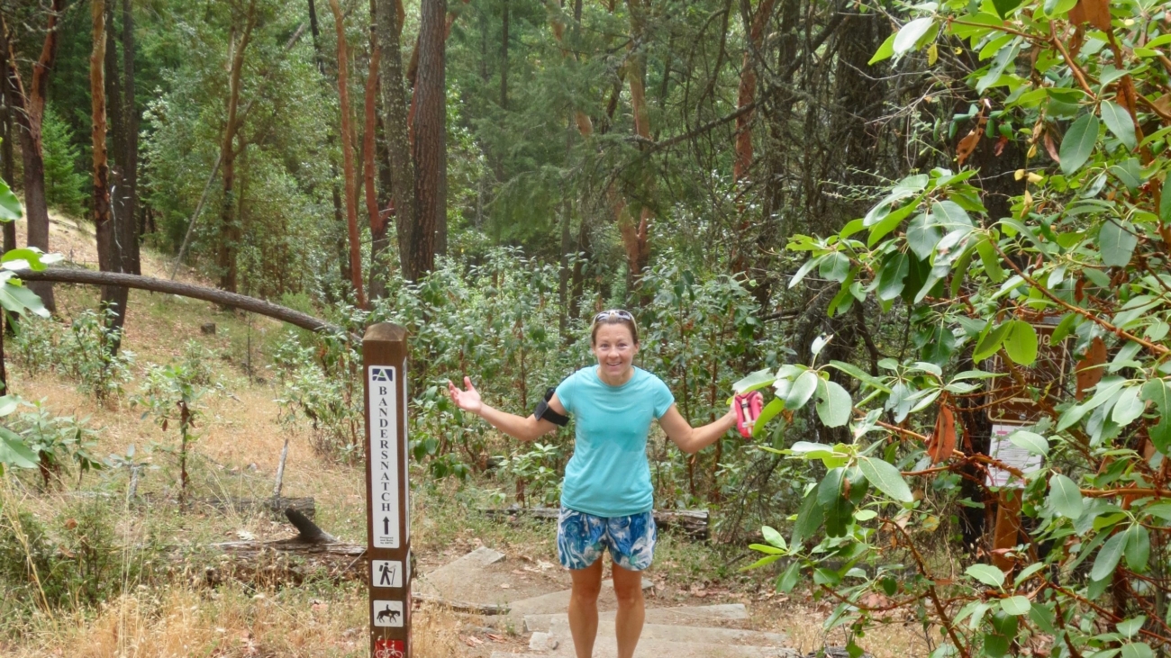
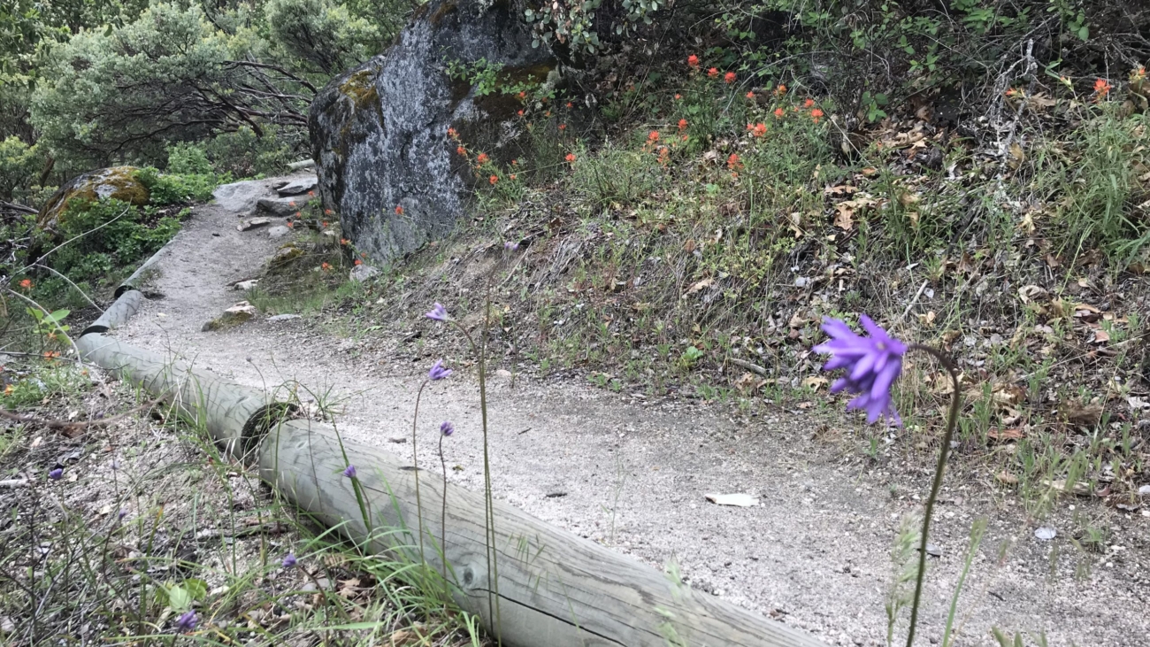
Starting at Witzend parking, head south on Waterline and turn left up Bandernatch. Follow Bandersnatch all the way up to the top and cross Alice in Wonderland to start down Bandersnatch East.…
– Distance: 2.8 miles
– Min/max elev.: 2217’/2971′
– Elev. gain/loss: 810’/-810′
Starting at Witzend parking, head south on Waterline and turn left up Bandernatch.…
– Distance: 3.1 miles
– Min/max elev.: 2762’/3359′
– Elev. gain/loss: 704’/-704′
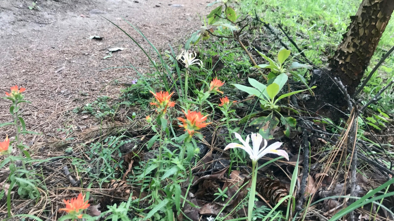
From White Rabbit TH, head north on White Rabbit and then turn right onto Caterpillar trail (watch out for mt bikers on this section).…
– 3.1 miles
– 870 ft of vertical
Start at Witzend parking and head south on Waterline and turn right very shortly onto Snark. You’ll be above Ashland Creek for awhile.…
– Distance: 3.2 miles
– Min/max elev.: 2328’/3255′
– Elev. gain/loss: 901’/-901′
Description coming eventually…but the map shows the route pretty well.
Sed ut perspiciatis, unde omnis iste natus error sit voluptatem accusantium doloremque laudantium, totam rem aperiam eaque ipsa, quae ab illo inventore veritatis et quasi architecto beatae vitae dicta sunt, explicabo.…
– Distance: 3.4 miles
– Min/max elev.: 3175’/3852′
– Elev. gain/loss: 732’/-732′
This route starts and ends gently, but has a good steep climb in the middle.…
– 3.6 miles
– 900 ft of vertical
Start at Witzend parking and head south on Waterline and turn right very shortly onto Snark. You’ll be above Ashland Creek for awhile.…
– 4.2 miles
– 1,300 feet of vertical
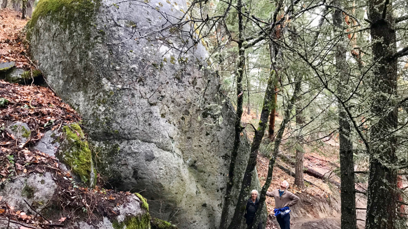
Park at the Oredson-Todd trailhead near Lupine Dr. This route is not particularly easy to follow.…
– Distance: 4.4 miles
– Min/max elev.: 2204’/3044′
– Elev. gain/loss: 871’/-871′
– Pedestrian/Mt Bike (uphill-only direction on Wonder)
Starting at the Fairy Ponds TH, head north on Wonder trail, parallel to Ashland Creek.…
– Distance: 6.5 mi
– Min/max elev.: 2215’/3546′
– Elev. gain/loss: 1438’/-1438′
Head north on Glenview and turn right on Ashland Loop Rd.…
– 5.2 miles
– 1,600 ft of vertical
Starting at Witzend parking, head south on Waterline and turn left up Bandernatch. Follow Bandersnatch and turn right at Red Queen (about a mile from Witzend parking).…
– Distance: ~5.4 miles
– Min/max elev.: 6515’/6782′
– Elev. gain/loss: 360’/-360′
Starting at Mt Ashland, head west through the Mt Ashland parking lot and onto FS Road 20.…
– 6.1 miles
– 1400 ft of vertical
Start at Witzend parking and head south on Waterline and turn right very shortly onto Snark. You’ll be above Ashland Creek for awhile.…