– Distance: 12.3 miles
– Min/max elev.: 2216’/6575′
– Elev. gain/loss: 573’/-4929′
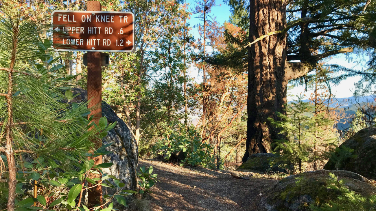
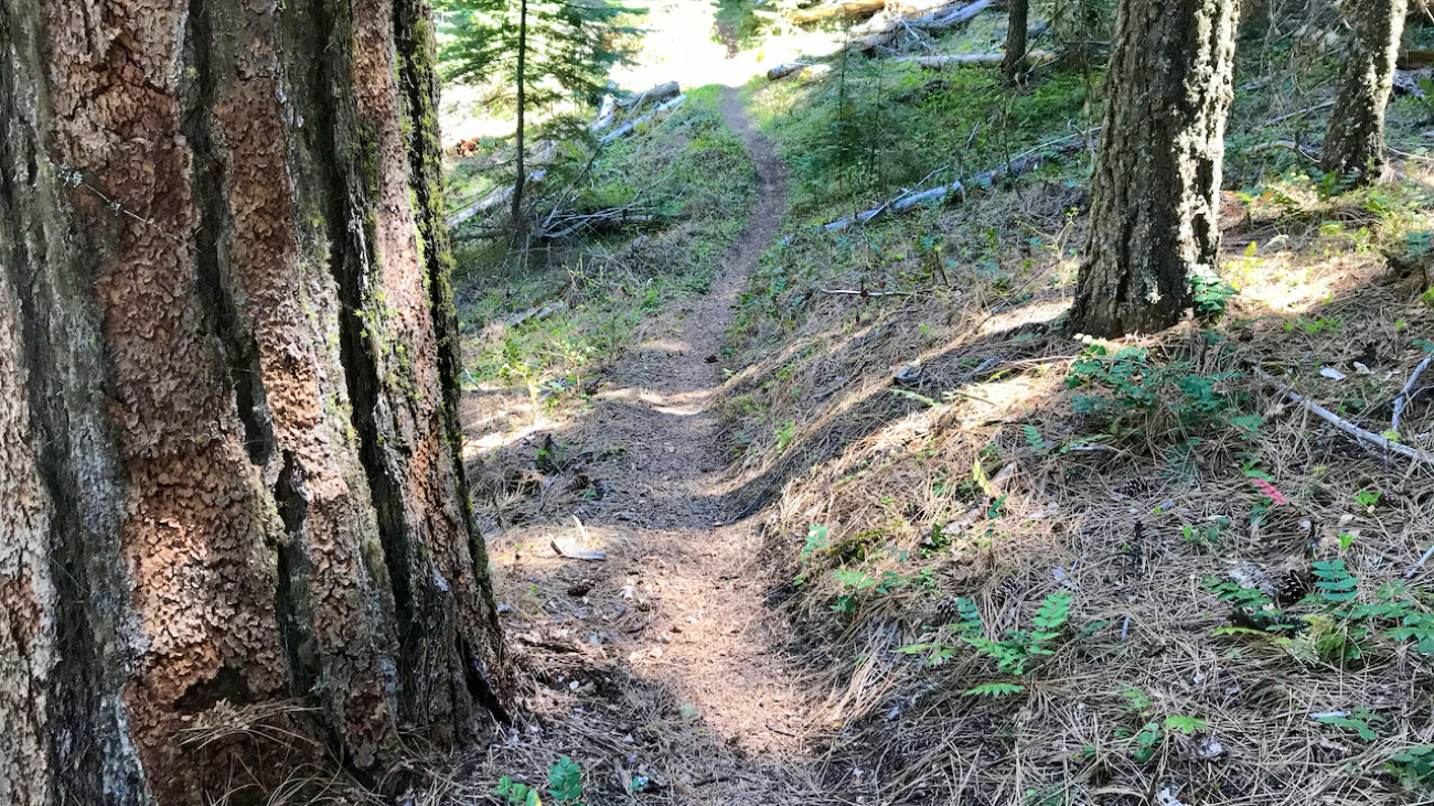
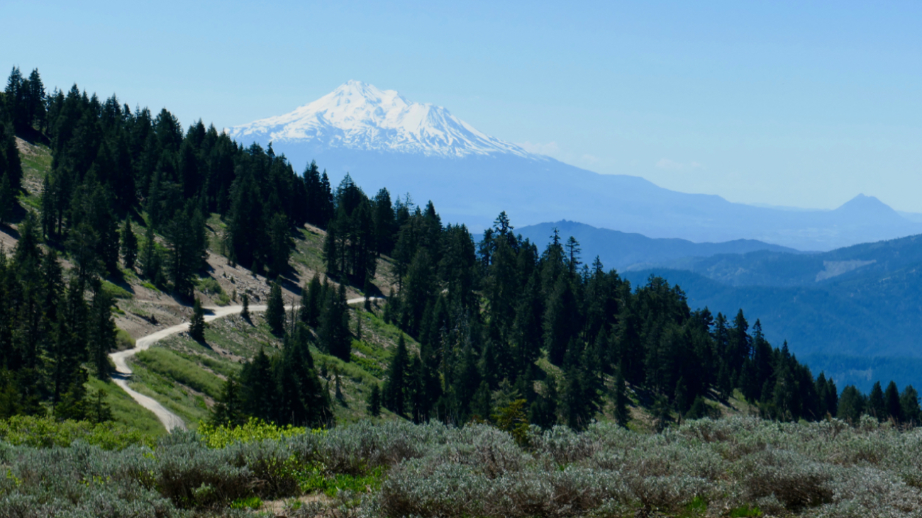
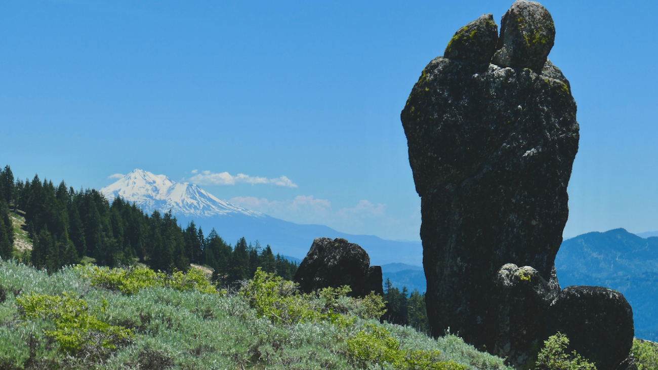
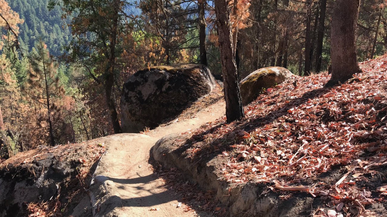
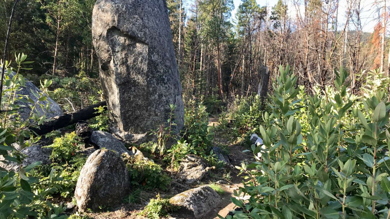
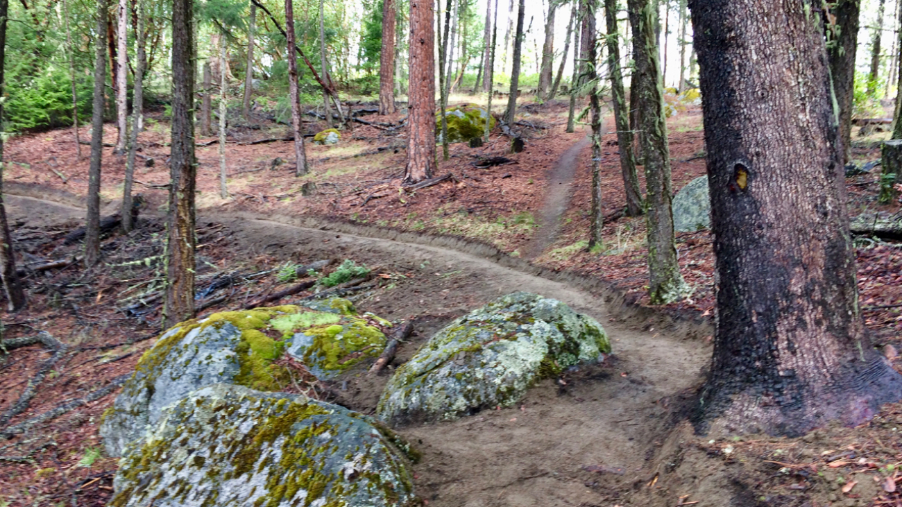
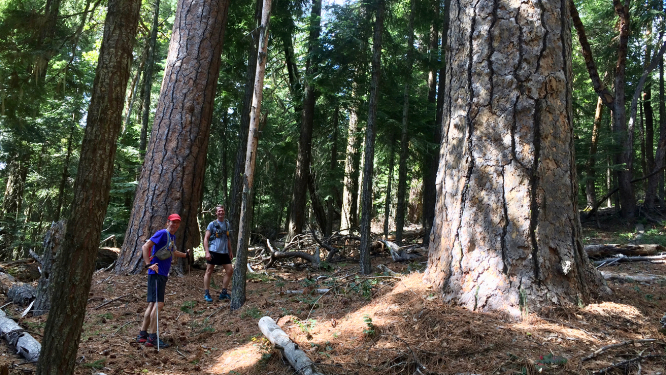
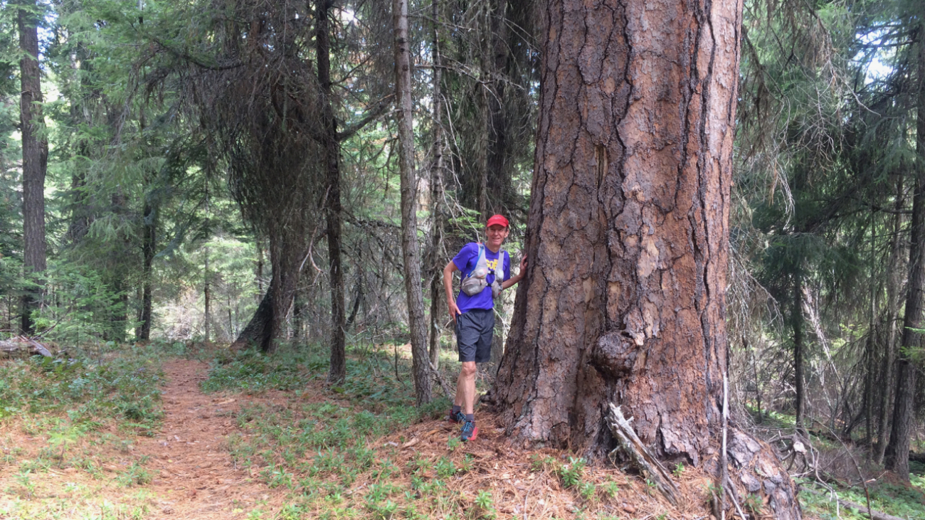
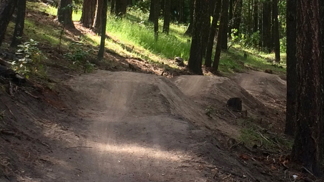
This is a mostly downhill ride with a cross-country flair. From the Mt Ashland parking lot, head down the Bull Gap trail (for the first half-mile it is double-track, then single-track).…