
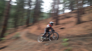
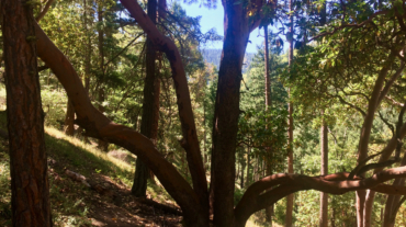
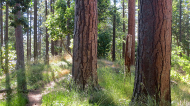
– Distance: 2.3 miles – Min/max elev.: 2215'/2739' – Elev. gain/loss: 516’/-516′ From Witzend Trailhead parking, head north out Glenview and right up Ashland ...
– Distance: 2.3 miles – Min/max elev.: 2215'/2739' – Elev. gain/loss: 516’/-516′ From Witzend Trailhead parking, head north out Glenview and right up Ashland ...
– Distance: 4 miles – Min/max elev.: 2216'/3173' – Elev. gain/loss: 940'/-940' From Witzend Trailhead parking, head north out Glenview and right up Ashland L ...
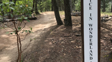
Description – Distance: ~ .1 mile – Min/max elev.: 2223’/2322′ – Elev. gain/loss: 100’/-1′ Click here for routes and maps with Witzend trail. Witzend is a short pedestrian c ...
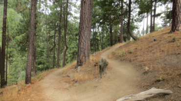
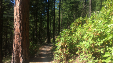
- Distance: 2.6 miles - Min/max elev.: 2217'/2733' - Elev. gain/loss: 641'/-641' Start at Witzend parking and head south on Waterline and turn right very shortly onto Sn ...
- 2.6 mile - 1000 ft of vertical Starting at Witzend parking, head south on Waterline and turn left up Bandernatch. Follow Bandersnatch all th ...
- Distance: 2.8 miles - Min/max elev.: 2217'/2971' - Elev. gain/loss: 810'/-810' Starting at Witzend parking, head south on Waterline and turn left up Bandernat ...
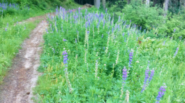
- 3.1 miles - 870 ft of vertical Start at Witzend parking and head south on Waterline and turn right very shortly onto Snark. You’ll be above Ashland Creek for awhile. Snar ...
- 3.6 miles - 900 ft of vertical Start at Witzend parking and head south on Waterline and turn right very shortly onto Snark. You’ll be above Ashland Creek for awhile. Snar ...
- Distance: 6.5 mi - Min/max elev.: 2215'/3546' - Elev. gain/loss: 1438'/-1438' Head north on Glenview and turn right on Ashland Loop Rd. After a short climb, c ...
- 5.2 miles - 1,600 ft of vertical Starting at Witzend parking, head south on Waterline and turn left up Bandernatch. Follow Bandersnatch and turn right at Red Queen (about ...
- 6.1 miles - 1400 ft of vertical Start at Witzend parking and head south on Waterline and turn right very shortly onto Snark. You’ll be above Ashland Creek for awhile. Sna ...
- Distance: 8.9 miles - Min/max elev.: 2217'/3407' - Elev. gain/loss: 2300'/-2300' Starting at Witzend, head out Waterline, up Bandersnatch, turn right at Red Q ...
- Distance: 9.1 miles - Min/max elev.: 2216'/3852' - Elev. gain/loss: 2038'/-2038' Starting at Witzend TH, head out Waterline, up Bandersnatch, turn right at Red Queen. At the ...
- Distance: 10.6 miles - Min/max elev.: 2217'/4375' - Elev. gain/loss: 2445'/-2445' Starting at Witzend, head out Waterline, up Bandersnatch, turn right at Red ...
– Distance: 11.1 miles – Min/max elev.: 2217’/6569′ – Elev. gain/loss: 33’/-4385′ Sometimes you want to take the easy way down the mountain ...
- Distance: 12.3 miles - Min/max elev.: 2217'/6576' - Elev. gain/loss: 675'/-5035' From the Mt Ashland parking lot, head down the Bull Gap trail (for the first ...